
Hiking and Wilderness
Hiking to Black Elk Peak in the Black Hills
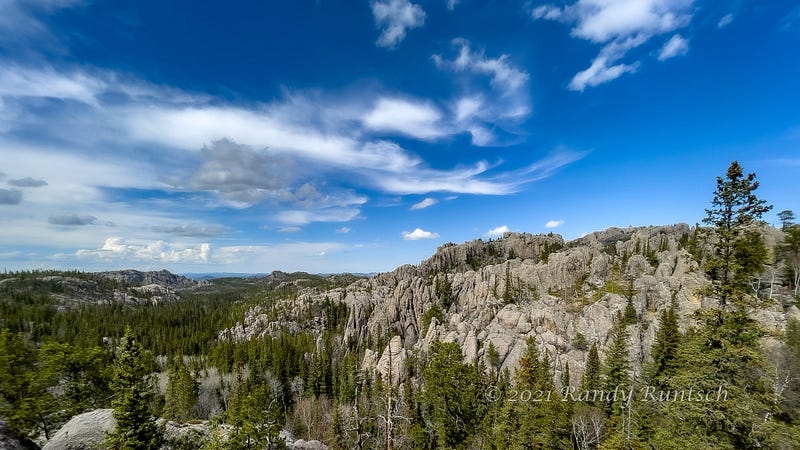
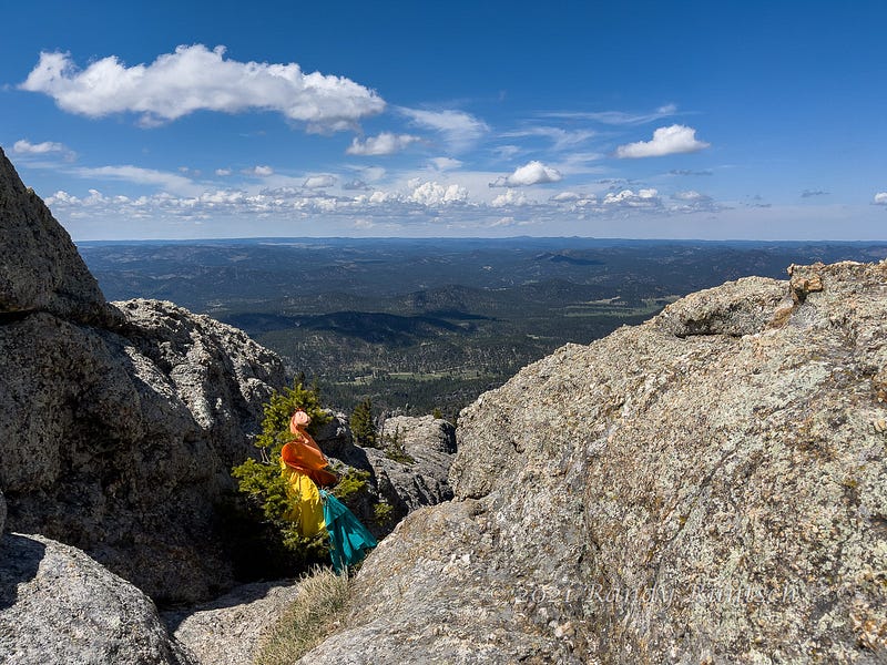
The summit of Black Elk Peak rewards hikers with a panoramic view of the Black Hills
I love to experience nature. Hiking ranks high on my list of favorite outdoor activities. A visit to the Black Hills of South Dakota would have felt incomplete without a good hike.
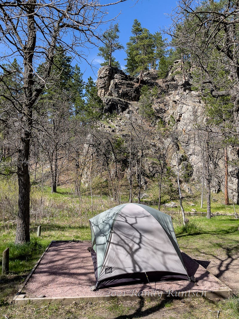
As I camped in Custer State Park, a 71,000-acre nature sanctuary in the Black Hills, I consulted the park’s magazine. The journal, Tatanka, listed eighteen trails of various lengths. The list ranked each trail as easy, moderate, or strenuous.
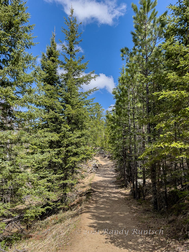
I have hiked several of the park’s trails during previous visits. My favorite was Black Elk Peak Trail #9. At 3.3 miles (5.3 kilometers) to the summit of Black Elk Peak, the route would make for a 6.6-mile round trip (10.6 kilometers). The trail, rated as strenuous, gains about 1,600 feet (457 meters) over two ascents. I decided to climb the route to Black Elk Peak again.
The afternoon spring day was nearly ideal for a long hike. The temperature was 70 degrees Fahrenheit (21 degrees Celcius). The light breeze would cool me as it evaporated moisture from my skin.
After I filled my water bottle, I started to hike trail #9 from Sylvan Lake. The trail started within Custer State Park. Then, it passed through the Black Elk Wilderness within the Black Hills National Forest.
After a steady climb, the trail descended for several hundred feet. From that point, about two miles into the hike, the route continued to ascend to the summit.
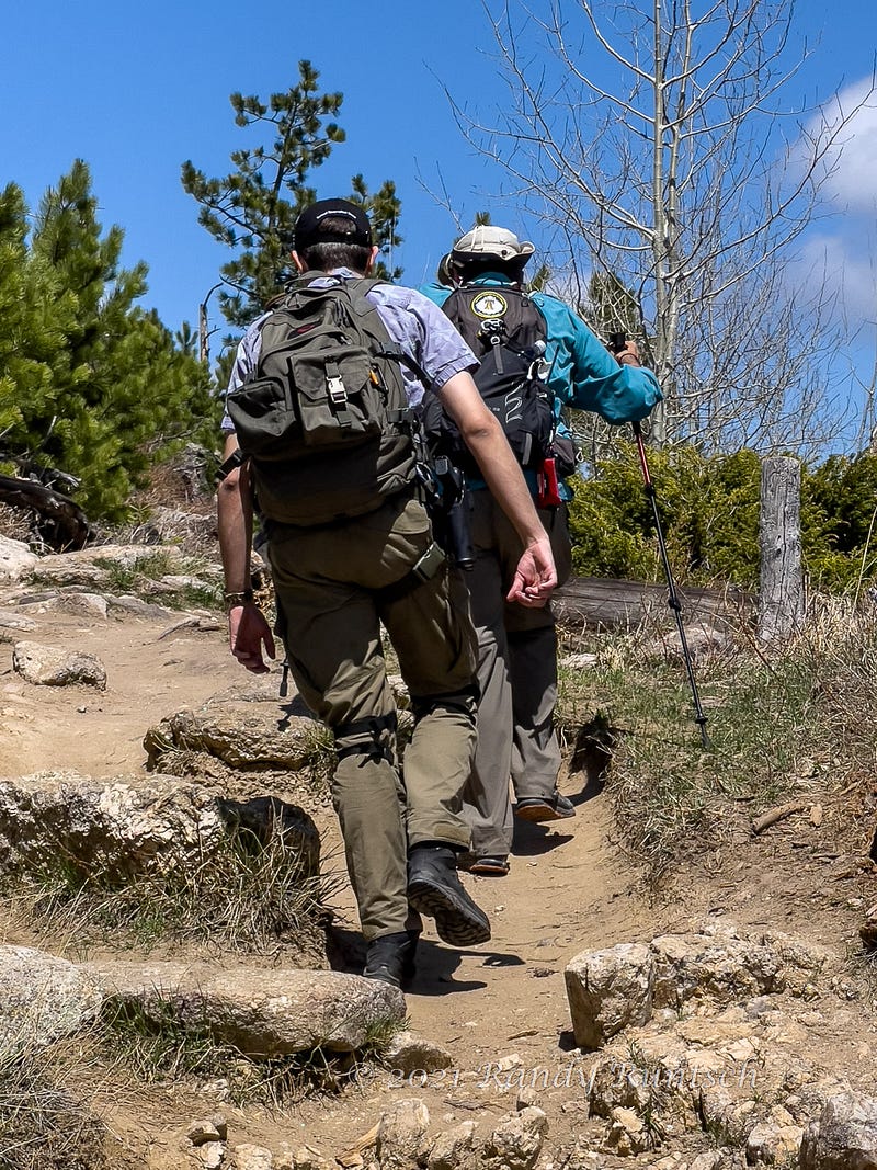
The hike was peaceful, and hikers were sparse. But one thing bothered me. It was the sight of a semiautomatic pistol holstered to a young hiker’s hip. I couldn’t understand why anyone would need or want to carry a gun on this recreational trail. We were not in bear country. Thinking about the weapon and what it represented made me feel threatened.
To attempt to erase the thoughts of the handgun, I politely greeted and passed its carrier and his partner. Then, I proceeded to the summit.
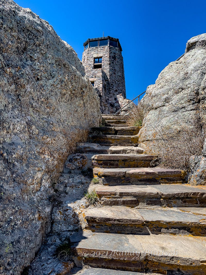
The end of the route features spiral and straight staircases. A stone lookout tower caps the summit. The mountaintop commands panoramic views of the Black Hills.
The U.S. Civilian Conservation Corps (CCC) constructed the stone lookout tower in 1938. The last staff left the fire tower in 1967. The site served as a U.S. Post Office from 1936 to 1942 and again in 1945 and 1946.
The U.S. Board on Geographic Names renamed the mountain from Harney Peak to Black Elk Peak in 2016. The new name commemorates Black Elk, a Lakota Sioux Indian medicine man.
Black Elk Peak measures 7,244 feet (2,208 meters) above sea level. It is the highest point between the Rocky Mountains and the Pyrenees in Europe.
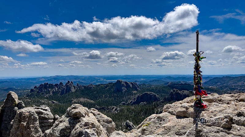
I enjoyed a snack and water while seated on a rock on the mountain’s summit. The mountaintop perch offered clear views in all directions.
The hike down the mountain was enjoyable and uneventful. I passed few other hikers, and none carried a gun.
While the hike was a pleasure, it drained my energy. To relax and reenergize, I enjoyed supper at camp with good beer and a classic book. I slept well through a rainstorm that night and woke up recovered.
Read more about wildlife in the States in my articles about Bisons and Marmots.
References
summitpost.org — Black Elk Wilderness
U.S. National Forest Service — Black Elk Wilderness
Wikipedia — Black Elk Peak

Sign up for our newsletter to stay informed with up-to-date curations from our editors:👇
We now offer exclusive writing services for our members. Discover how you can take advantage of our editing services and more.