
Earth’s Wonderful Secrets Uncovered By Satellites
From ancient ruins to strange animals. There is more to earth than humans have discovered.
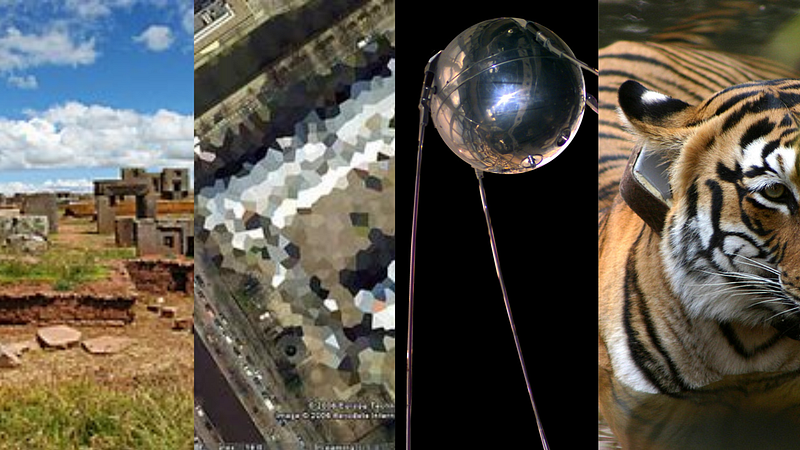
In 1957, the Soviet Union launched the first satellite into space named Sputnik 1, since then many other countries including China and USA have added to the number. Today about 5000 satellites remain orbiting the Earth, and from miles above, these spacecraft monitor the planet’s weather, and environmental conditions as well as provide radio communications.
These spacecraft use remote sensing equipment including cameras, radars, lidar, and radio receivers to collect data and send it back to Earth. With the help of these brilliant inventions, humans have established unprecedented forms of communication and discovered strange details about their planet’s environment and nature.
Google Earth
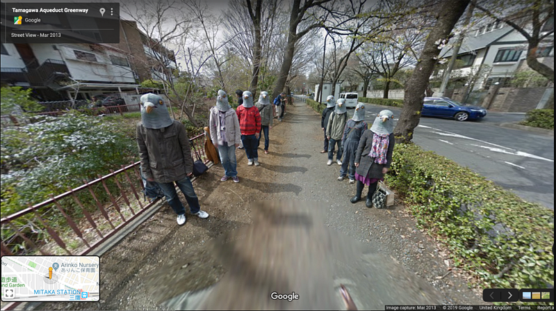
In the late 2000s, Google Earth served as a great form of entertainment with adults and teenagers alike huddling over computers to see their house as captured by Google. To this day with games like Geoguessr, Google Earth continues to be a favorite in households.
There are ample photos on the net of Google Earth’s car catching cats in the middle of a deep stretch, or dogs giving their owner quite a run, of people falling, and the occasional picture of teenagers wearing bird masks.
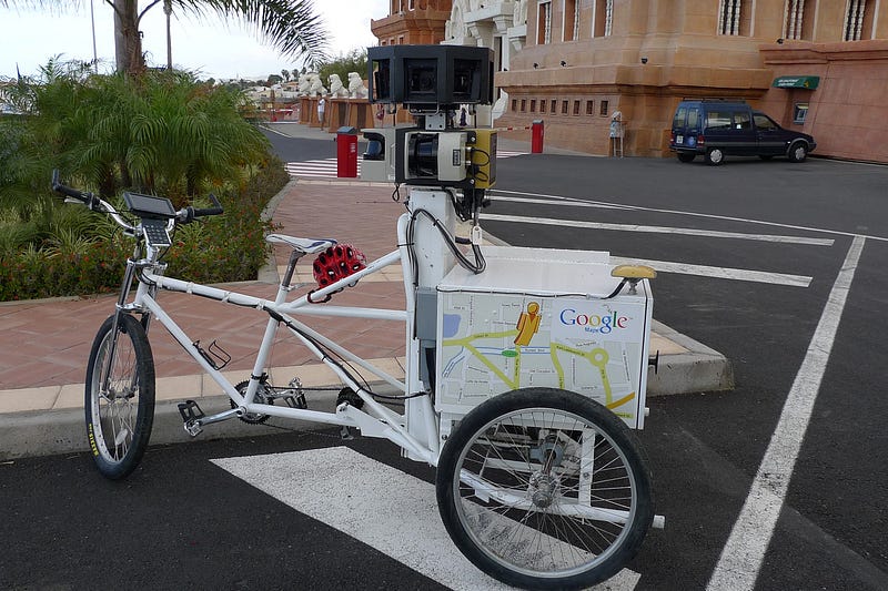
Google Street View
While Google Earth continues to be a way for people to discover parts of the world they could never have hoped to see before, it also serves as a key tool for services such as Uber and InDriver through Google Maps.
Google Maps in its regard has come a long way. Gone is the time when it would simply just give you route directions, today this handy tool can report on traffic and provide you with shortcuts to reach your destination faster. Almost every person I know has used Google Maps regularly and it has single-handedly saved us many a time.
Ancient Ruins
Sarah Parcak, a space archaeologist and a professor at the University of Alabama, Birmingham uses satellites to uncover clues to ancient civilizations. In 2010, during a stormy season, she made remarkable discoveries in the usually sandy region of Egypt.
In the satellite images, the outlines of buildings and streets could be seen due to the rain soaking into the mud bricks. These outlines were of the ancient city of Tanis, a 3000-year-old long, forgotten civilization.

Following this, Parcak found 18 new pyramids and thousands of tombs while scouring the satellite images for proof of ancient civilizations. These civilizations weren’t restricted to Egypt but also included the Vikings and the Romans.
In 2016, Parcak secured a $1M TED prize for her achievements in the field of archaeology and she used these to build a citizen science platform called GlobalXplorer. Through this platform, anyone can scan high-resolution images for clues about archaeological sites. This has been majorly successful with about 90,000 users discovering almost 20,000 previously unknown sites.
Seeding out Invasive Species
Invasive, foreign species crowding out and competing with indigenous is a global issue that has been going on for decades and has only been exacerbated by human activity. The Darwin Foundation works to conserve the environment and biodiversity of many islands and has collaborated with universities to seek out these weeds using satellite images.
The commercial satellite company Maxar has donated images to researchers from “Brown University” to help with the cause. Their network of spacecraft capture high-resolution photos of Earth regularly using various wavelengths of light including infrared.
These multi-spectral images can determine different concentrations of chlorophyll in plants and thus allow for the determination of plant species.
Using this data and pictures from low-flying drones, researchers have trained a computer model to point out invasive plants in satellite images.
This process, though tedious, has been greatly eased out by satellites, and is crucial in eradicating invasive species to save native plants.
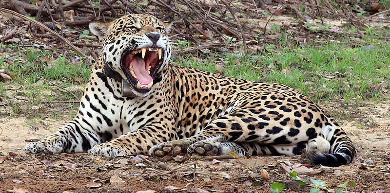
Conservation of Animals
With the rise in road traffic, industrialization, and the usage of land for oil and gas drilling, the animal population has declined, adversely affecting both biodiversity and micro-economies that depend on tourist hunting.
Recently, many areas of the US have begun funding research projects studying animal migration to improve wildlife management and conservation. Most researchers are using GPS collars and satellite tracking technology to monitor animal movement hourly.
_male_Rio_Negro_2.JPG)
With this data, the location of a herd of animals can be accurately determined and a notification can be sent out if the herd crosses pre-determined borders called “geo-fences”.
Since most animals migrate to and from the same regions every season, it is easy to keep track of their movements and thus help in their conservation by securing their routes and allowing their habitat to remain untouched by human activity.
Satellites have been crucial in not only improving the lifestyle of the humans that created them but have also revealed to us many wonderful, hidden secrets of our world. These spacecraft, though miles away from Earth’s surface, have saved many lives of plants and animals alike. I am hoping to see more
Want to follow up more from me and other amazing writers on Medium?
Hop on the chance to join: