
Three Passes Trek Nepal Day 3: Namche Bazaar — Khunde — Khumjung
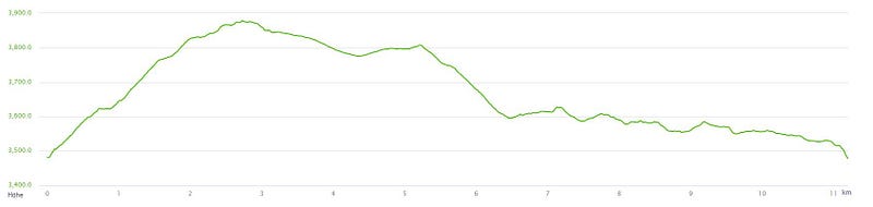
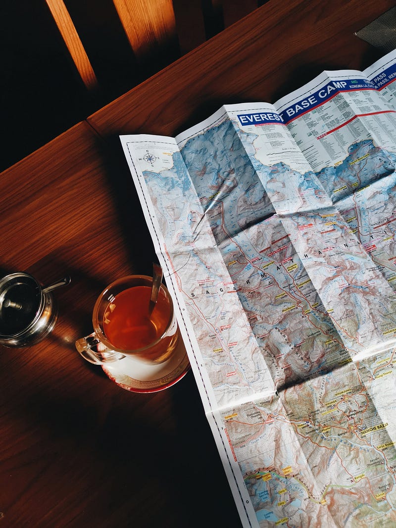
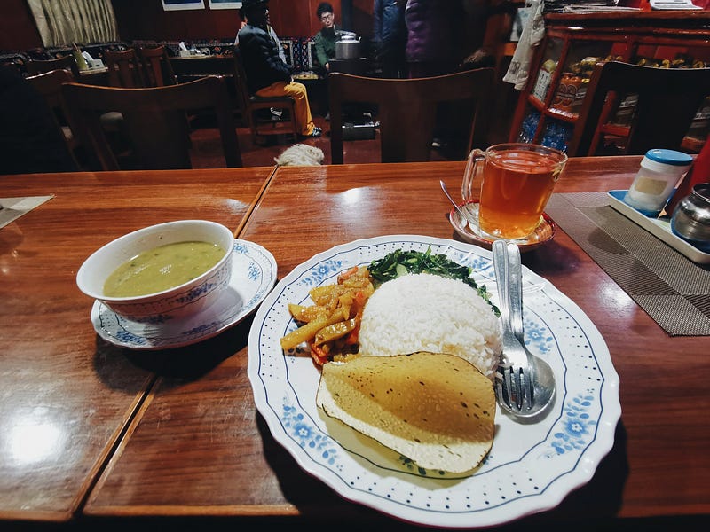
Start: Namche Bazaar, 3,440m above sea level Destination: Khunde, 3,840m above sea level / Khumjung, 3,790m above sea level / Namche Bazaar, 3,440m above sea level Date: 14.03.2023 Start in Namche Bazaar: 08:06 AM Distance: 11.2km Duration: 4:20h Elevation Gain: 560m ascent, 561m descent Highest Point: 3,879m above sea level Change in elevation for sleeping: 0m Trail Profile: Small trail to Khunde, well-maintained trail back to Namche Lodging: Mountain View Lodge, Namche Bazaar Weather: Blue sky at 08:00 AM, clouds moved in during the morning, snowfall in the evening Temperature: 2°C in the room in the morning, pleasantly warm in the sun, cold again in the afternoon/evening Fauna: Yaks, mules, various birds, dogs Flora: Hemlock spruces, junipers Food: Tibetan Bread with honey and ginger tea for breakfast, fries in the early afternoon, Dal Bhat for dinner
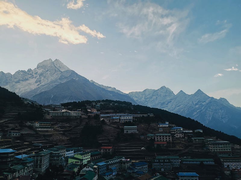
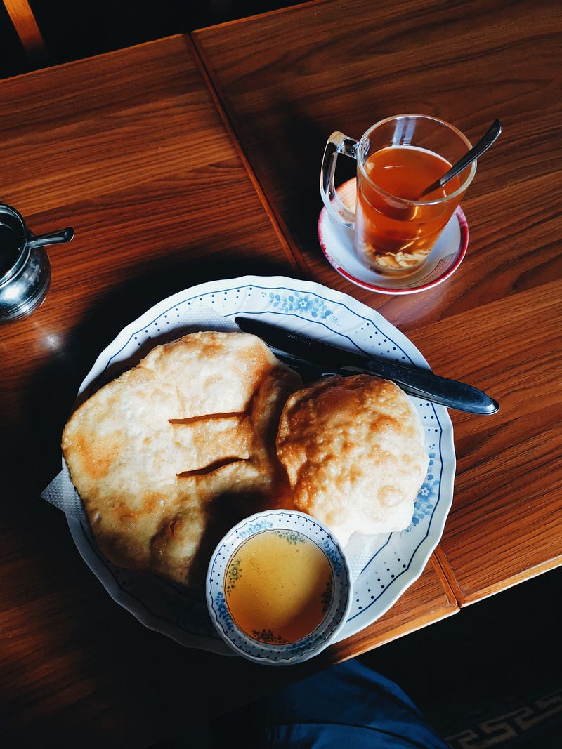
I set the alarm for 7:15 AM. Despite the howling dogs, I slept well. Upon waking up, I’m amazed to find that the room temperature is at 2°C. Quickly out of the warm sleeping bag and into the warm thermal clothes, I put on my glasses. What a view from the window! Yesterday, shrouded in clouds, I now have an unobstructed view of Thamserku (6,608m above sea level), adorned with a golden cloud crowning its peak. I have Tibetan Bread with honey in the lodge for breakfast and savor the warmth of ginger tea. However, the beautiful weather quickly lures me outside, and I embark on my day trip with light luggage.
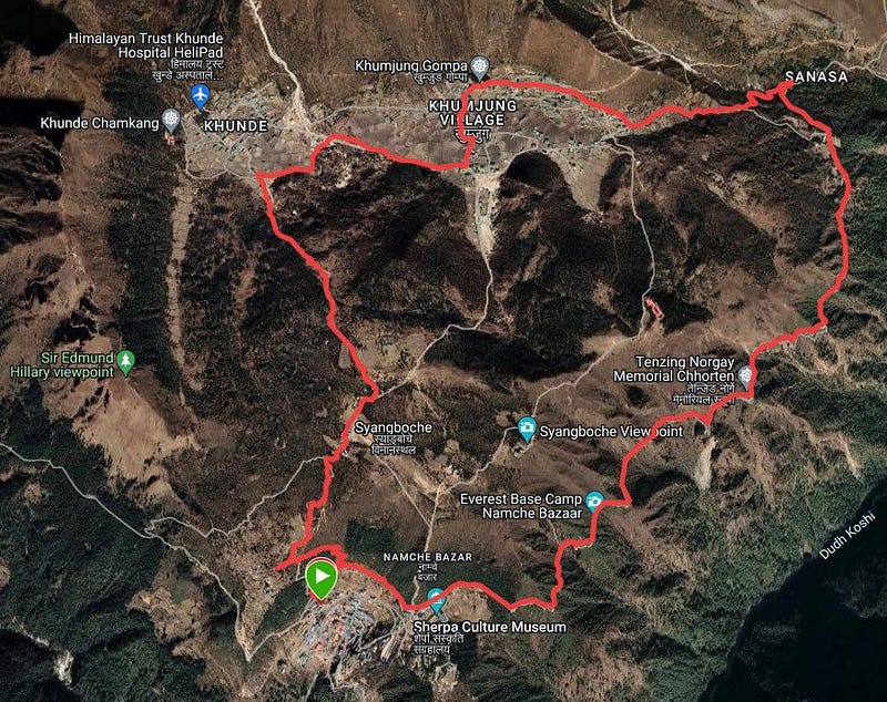
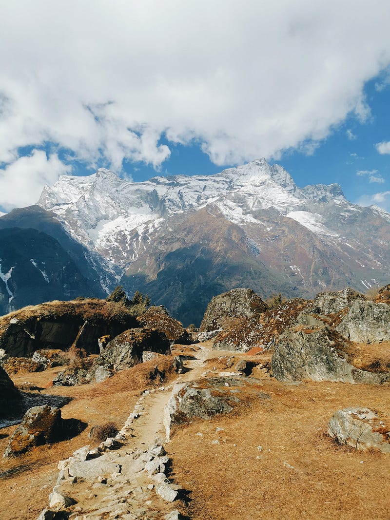
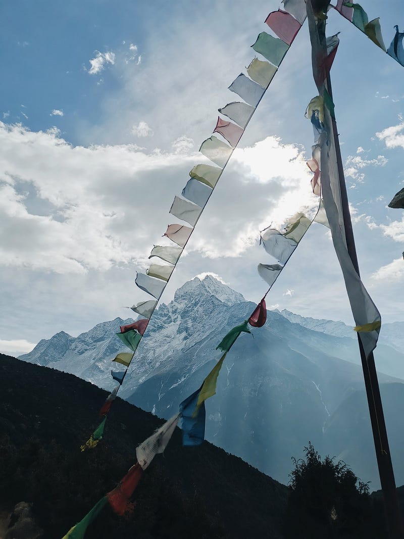
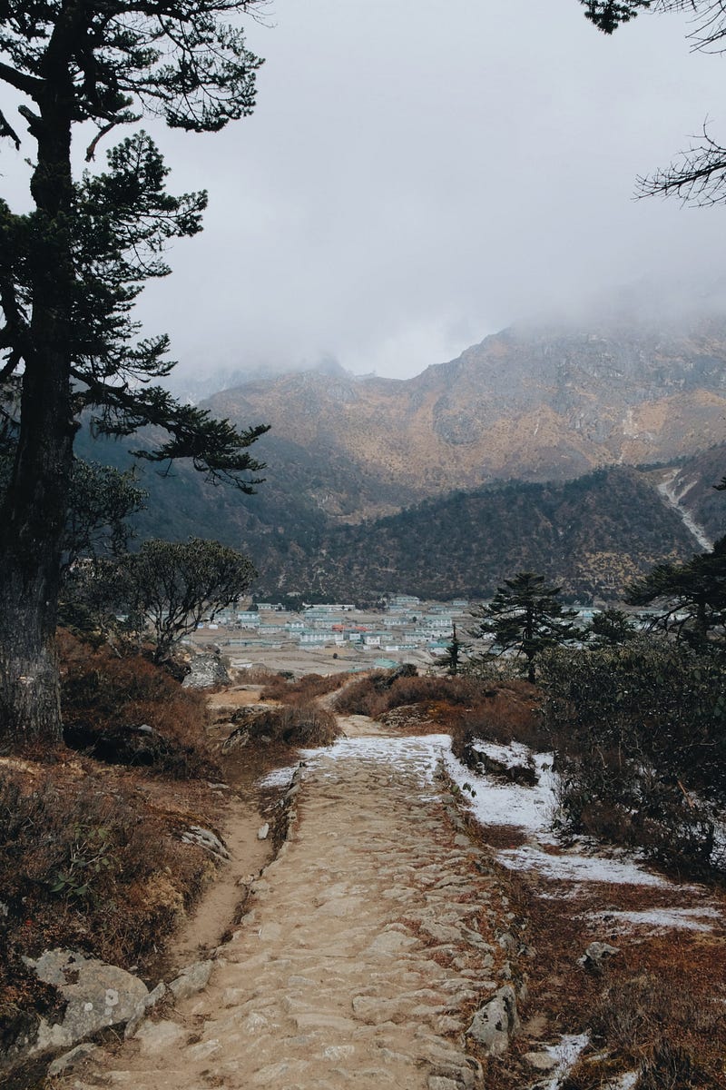
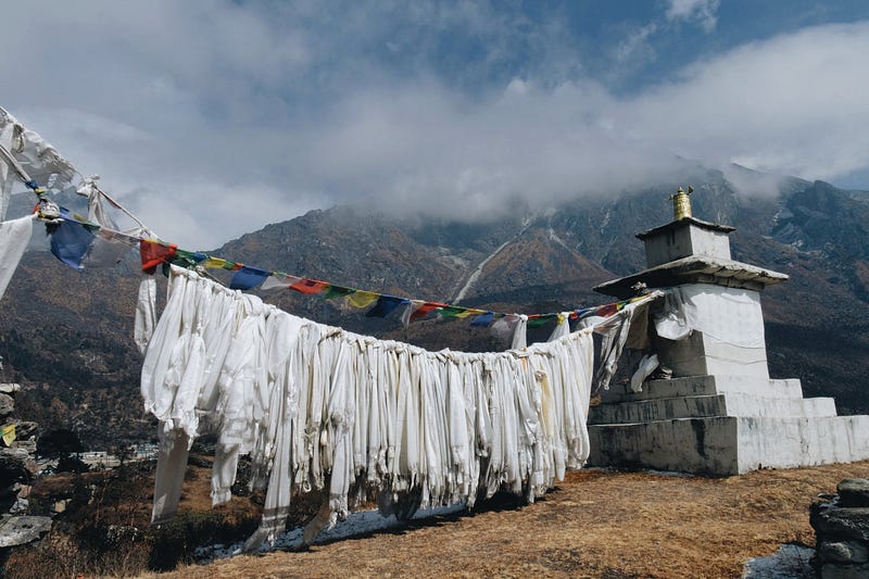
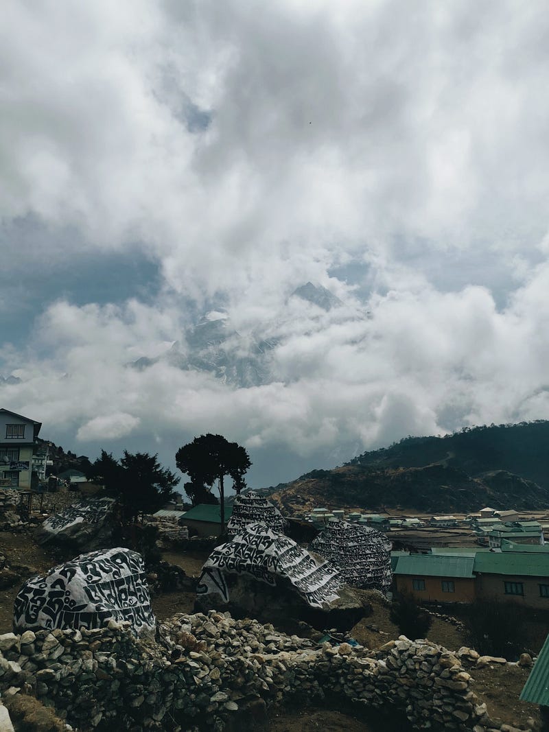
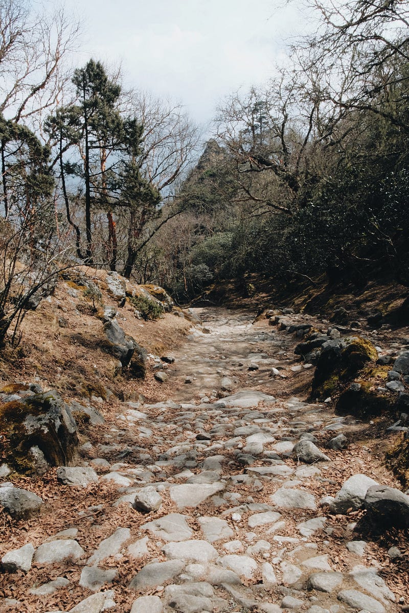
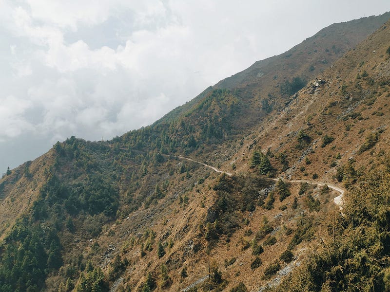
The two villages Khunde (3,840m) and Khumjung (3,790m) are my destinations for today. I decide to take a circular hike and visit the popular Everest View Point tomorrow. The trail to Khunde starts directly behind the Mountain View Lodge. I quickly gain the first meters in altitude. I enjoy the tranquility above the village, the rising sun, and the impressive panorama. The mountains are still crystal clear, but the first clouds are already approaching the peaks. I am almost alone on the way. Only occasionally do I encounter locals. I don’t come across any other hikers until Khumjung. It’s so beautiful to hike up here, enjoy the view, delight in the colored prayer flags waving in the wind, and simply feel the here and now. This mountain world is just soothing.
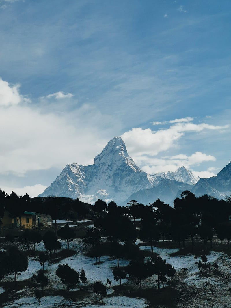
So, I continue past the airstrip in Syangboche, which is now only used for cargo flights. I climb a few meters higher, and there it is — the breathtaking Ama Dablam with its 6,814 meters. What a sight. I am mesmerized. I share my joy about the ‘Matterhorn of Nepal’ in a voice message with my friend, which I will transmit to him using the next Wi-Fi connection. After a few minutes of astonishment, I take my eyes off it and continue walking.
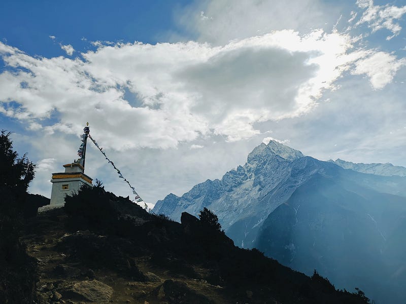
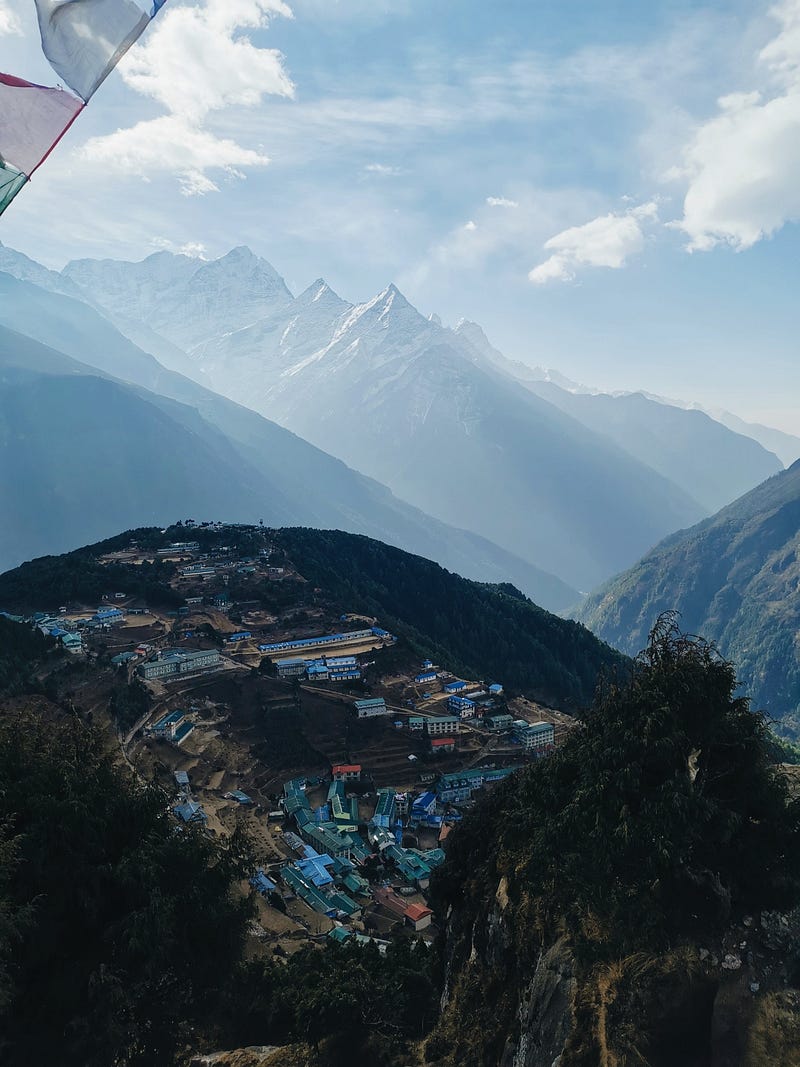
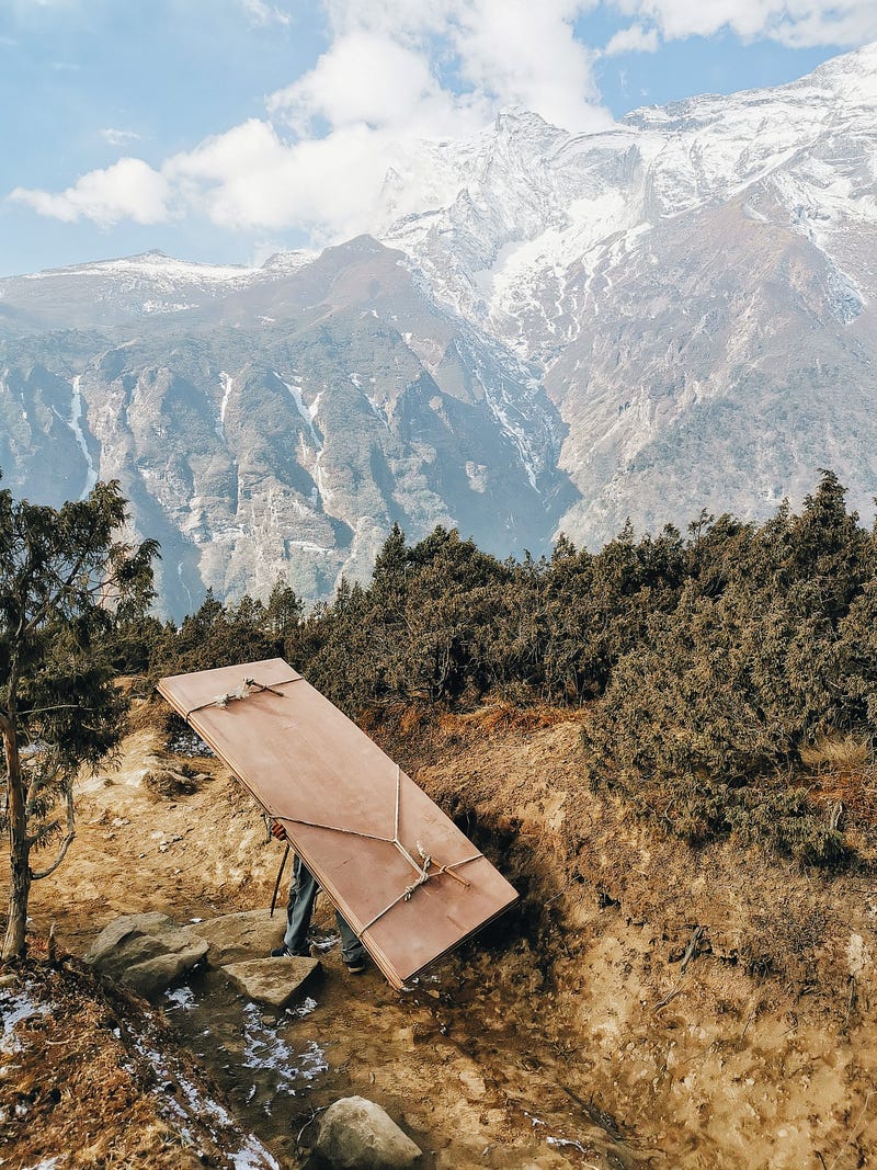
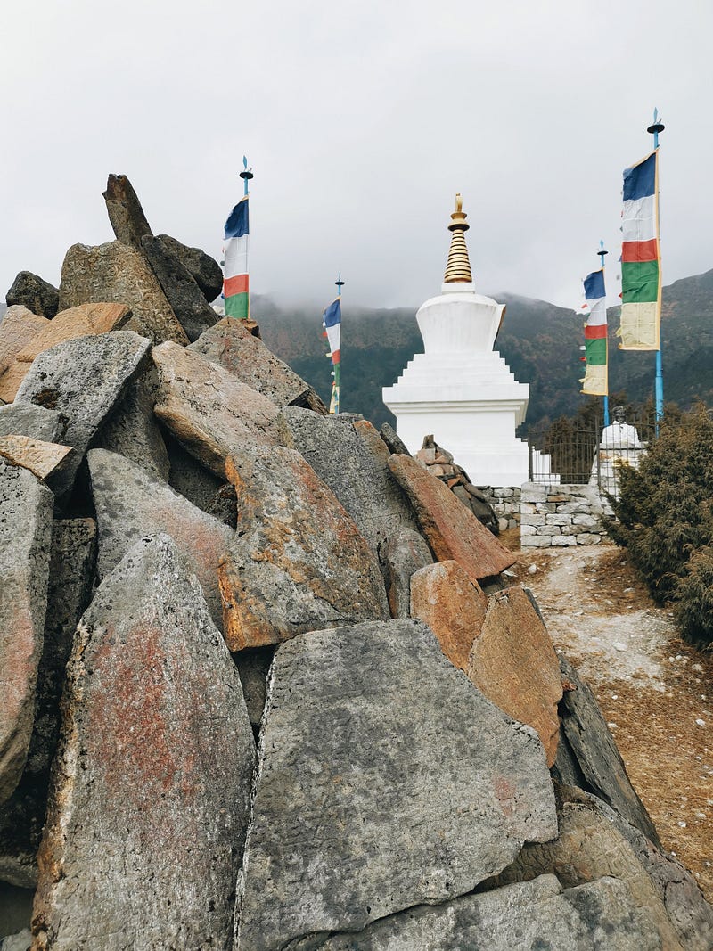
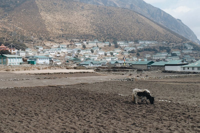
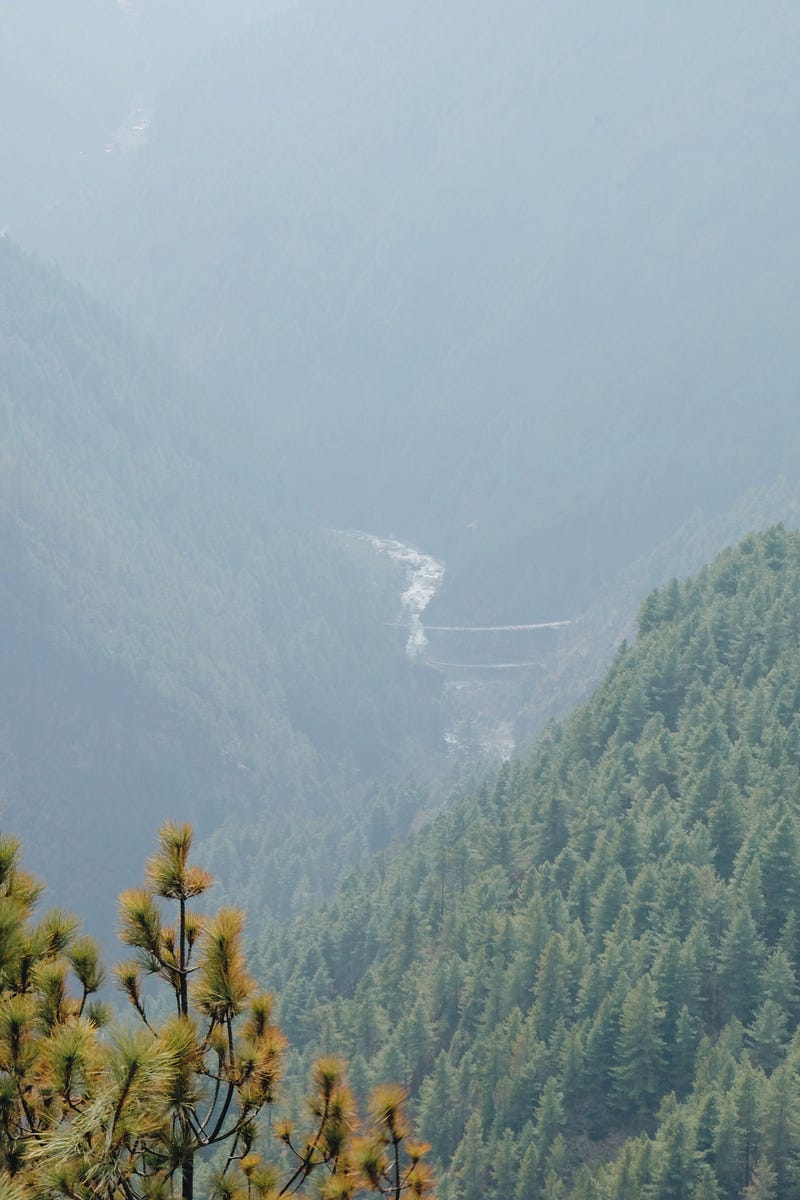
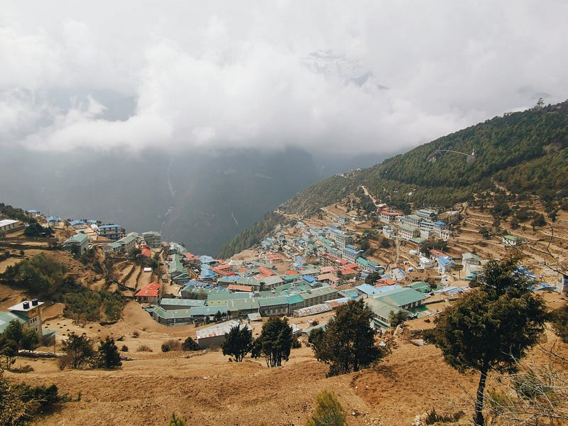
This area is also known as Hidden Valley or Green Valley. I reach Khunde, with a Buddhist temple perched above, in just under two hours. Instead of wandering through the village, I walk along the outskirts directly to Khumjung. Along the way, I observe women and children plowing fields with shovels in the sun, planting potatoes in the holes. Potato cultivation at 3,800 meters! Both villages are situated at the foot of Khumbi Yul Lha (5,761m), the sacred mountain of the Sherpas, whose ascent is an absolute taboo. In Khumjung, I stroll through the alleys and am delighted to encounter Till. We exchange a few words, and he continues his way to Khunde, while I head towards Namche. Since the mountain peaks are already hiding in the clouds again, I consciously choose not to go via the Everest View Point but take the path towards Sanasa and then turn towards Namche Bazaar. Despite the clouds, the sun is strong, and I regret leaving the sunscreen in the lodge. However, the sunglasses and the pulled-up neck gaiter provide good protection. I am now back on the main trade route and encounter many porters, loaded yaks, and occasional hikers. I walk high above the green valley through which the Dudh Koshi flows, enjoying a wonderful panoramic view. In the distance, I can even spot the Hillary Bridge.
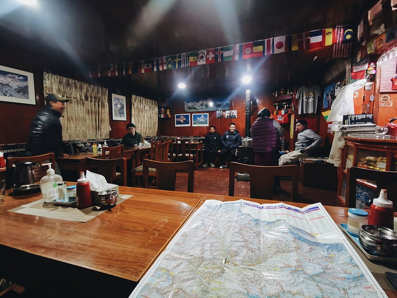
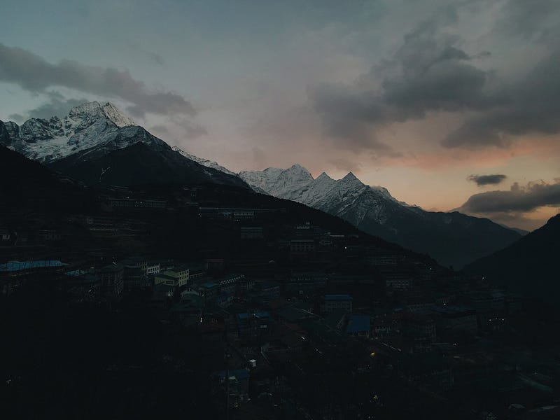
In the early afternoon, I arrive back in Namche, perform my makeshift wash and change of clothes in the lodge, and descend the steep stairs to the village center. It has significantly cooled down, and I’m already wearing two jackets. By chance, I run into Till again. We head to the Yeti Bar for lunch and to watch a documentary. They show Everest films there daily. While the bar may not be a luxurious oasis, it offers something to eat, and we are sheltered from the wind. Hungry, I order fries and enjoy the documentary along with the freely available Wi-Fi.
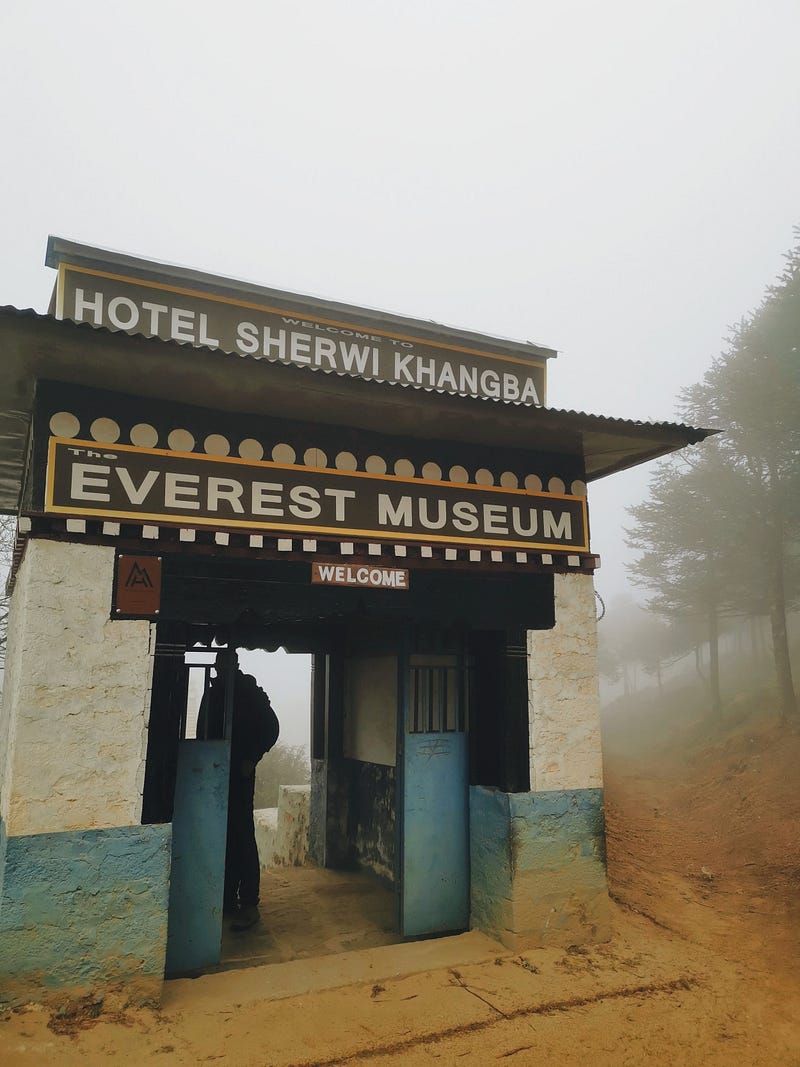
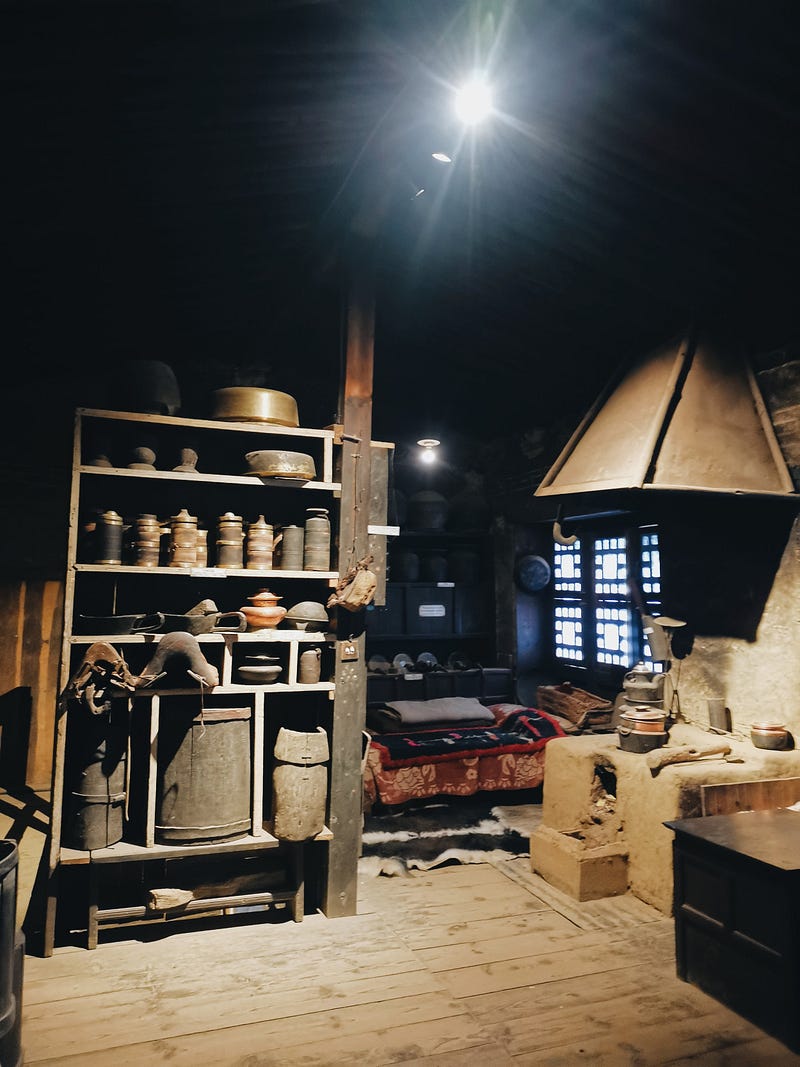
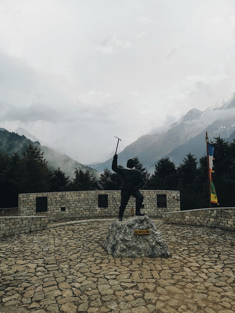
After the film screening, we walk up to the Everest Museum. The clouds have now also covered Namche and you can barely see 100 meters. In the Sherpa Museum, you can see how the Sherpas used to live. Additionally, several rooms showcase photos and newspaper reports of Everest ascents. There is more detailed information about climbers holding records. We also get to visit a photo exhibition that is not entirely finished at this point. With great pictures and explanations, it highlights the culture of the Sherpas and the development of the Khumbu and Khumjung Valleys. The visit is worthwhile! We then attempt to visit another Everest View Point (at the Sagarmatha National Park Museum), where there is also a statue of Tenzing Norgay. However, due to the weather, we can only see as far as the nearby cloud-covered trees.
Back down in Namche I buy microspikes in an outdoor shop. I heard that there is fresh snow on the passes and I want to be equipped for it. As I walk back to my lodge after a walk through Namche, I start talking to a young German woman. She is also traveling alone and is already on her way back. I value these unplanned encounters and casual conversations enormously and they give the whole trip something unique.
The stove in the living room at Mountain View Lodge is on, I’m wearing my down jacket, drinking ginger tea and enjoying the TV program. The remote control is in the care of the adult son and he obviously enjoys Nepalese weddings. This gives me an insight into the wedding celebrations of Sherpas throughout the evening. An educational gap closed! When I ask the son whether it is okay for a Sherpa to marry a person from another tribe, he is a little reluctant to answer. This is probably not welcome. While I hungrily eat a delicious Dal Bhat, he tells me a few things about the Sherpas and then also that his grandfather, who is also sitting in the room, was part of the expedition group for the first ascent of Everest in 1953 as a cook. After the third wedding on television, I say goodnight. The son lets me know how dangerous it is to travel alone and that I have to be very careful — especially over the passes. Snow is falling outside. A little worried, but also convinced that everything will be okay, I crawl into my sleeping bag.
I have a blog that further describes more of my adventures.