
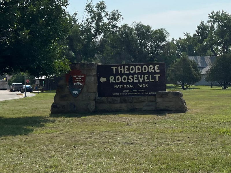
Theodore Roosevelt National Park
South Unit
Traveling with Rich & Julie
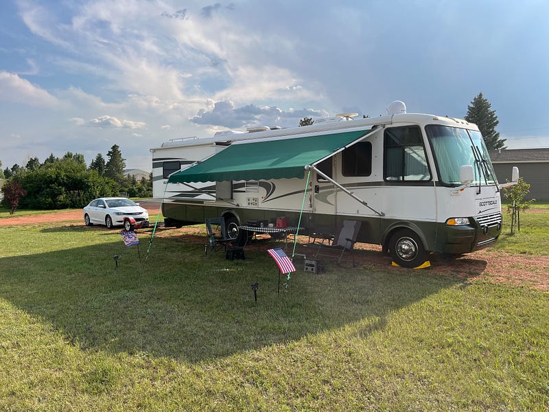
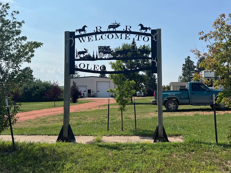
On Monday, August 7, Rich and I pulled into Oleo Acres RV Park in Belfield, North Dakota. This is a simple but wonderful campground with full hookups, but no other amenities at the moment for a reasonable price. It is located on Highway 85 between the south unit and the north unit of the Theodore Roosevelt National Park.
The national park is separated into two main sections by the Little Missouri National Grassland area. Some of the other campers told us they had seen wild turkeys in the campground. We did not for the few days we were there.
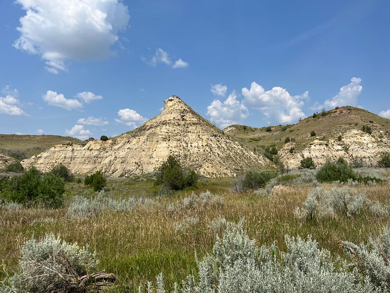
On Tuesday, August 8, we drove south to I-94, headed west and stopped first at the Painted Canyon Visitor Center and Rest Area. The canyon is gorgeous from this view.
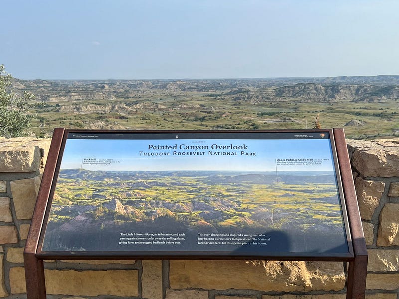
There is a 0.2-mile loop trail to see the stunning vistas along the rim of the Painted Canyon, and also a 1-mile loop to explore further the interesting geology of the badlands from top to bottom and back up again. With my bum leg at the time, sadly I was not able to walk either one.
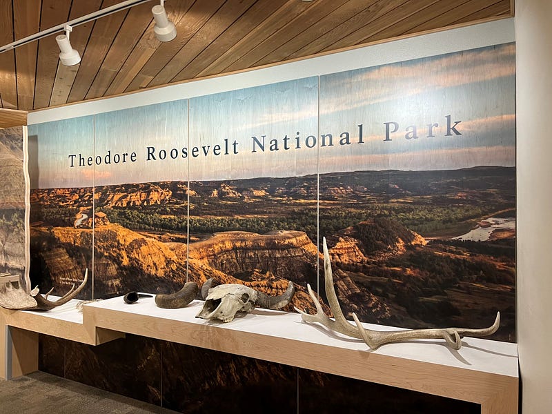
A few more miles down I-94 is the south entrance visitor center. This is where I stamped my National Park Book. We watched the 17-minute park film titled “Refuge of the American Spirit” which introduces visitors to the park and talks about the time Theodore Roosevelt spent here. I always enjoy watching the short videos to learn more about the parks we are visiting.
Then we walked through the small museum filled with tidbits and artifacts of Theodore Roosevelt’s life in the area. And just a short distance behind the visitor center is his cabin.
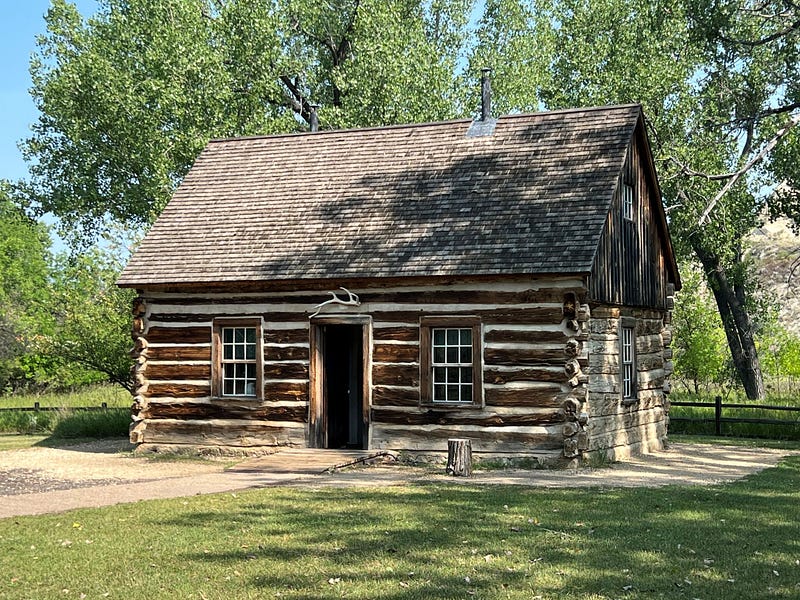
You can walk out to the Maltese Cross Cabin yourself and explore inside or take a 20-minute ranger led tour for more information. Rich and I like to just explore things on our own. This was a temporary home for the future president when he would split his time between New York and North Dakota. He eventually purchased land and established the Elkhorn Ranch which is located in a third smaller section of the park we did not take time to visit. It is a long hike to the ruins of that ranch.
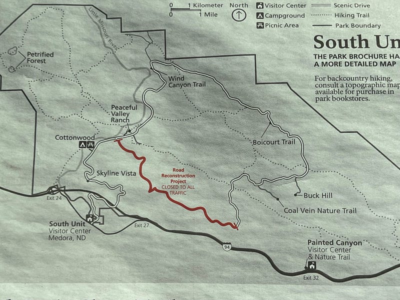
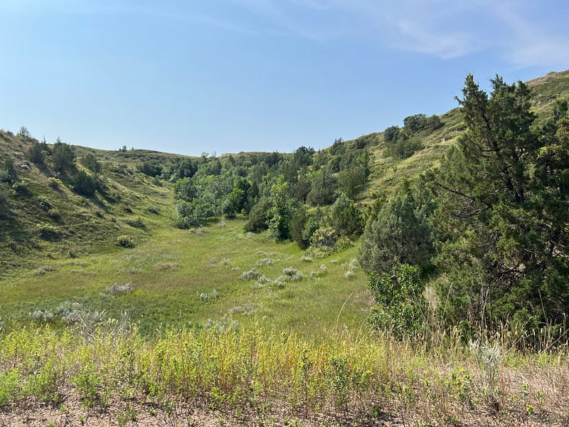
From here we headed into the park for the scenic drive. Part of the road was closed so the drive was approximately an hour one way, then we had to turn around and come back the same way. Oh, but what a scenic drive it is.
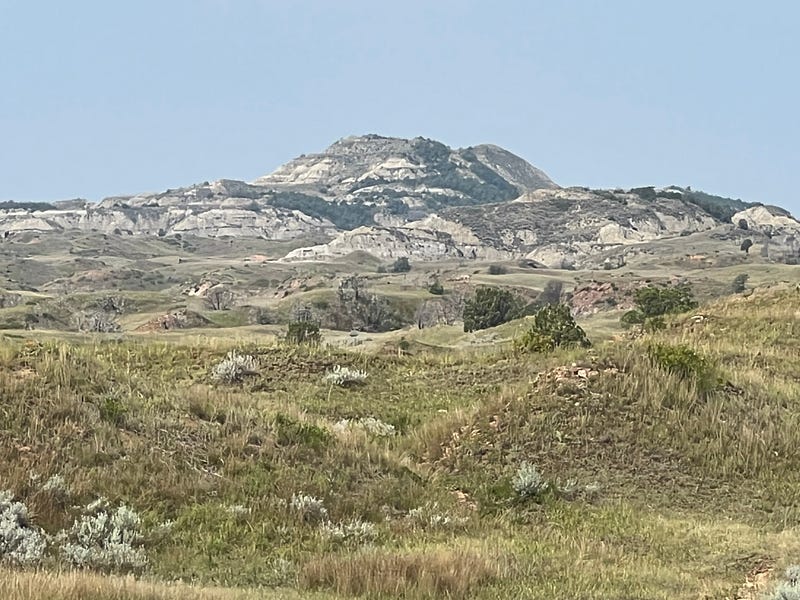
Rich and I both agreed that this is one of the prettiest national parks we have seen to date. But they are all magnificent in their own way.
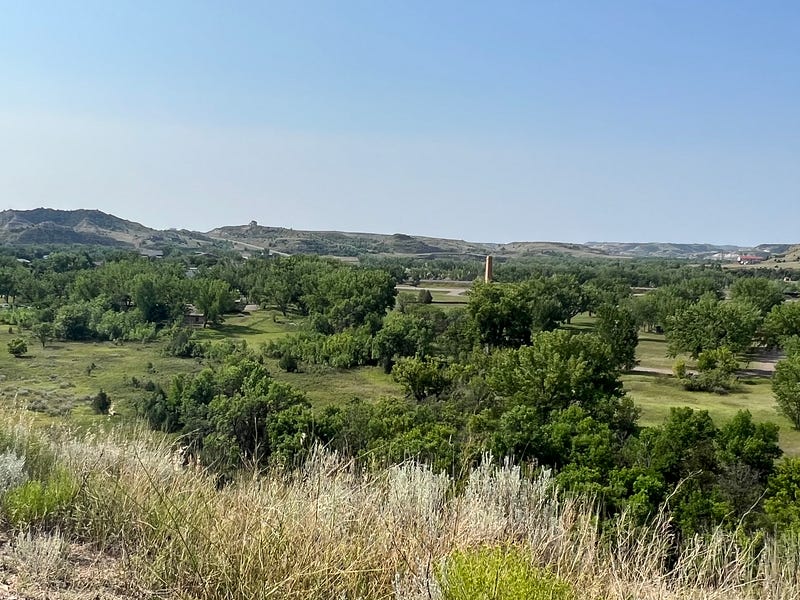
The first stop along the way is the Medora Overlook. The historic town of Medora was founded in 1883 by French Nobleman The Marquis de Mores. The Northern Pacific Railroad had come through the area just a few years prior, and this opened up the region to investors and adventurers from the East. For a few years, the town of Medora grew and thrived, but the harsh winter of 1886–87 killed off thousands of cattle and livestock causing the town and industry to completely collapse.
Medora is now a thriving tourist destination at the south entrance of the park.
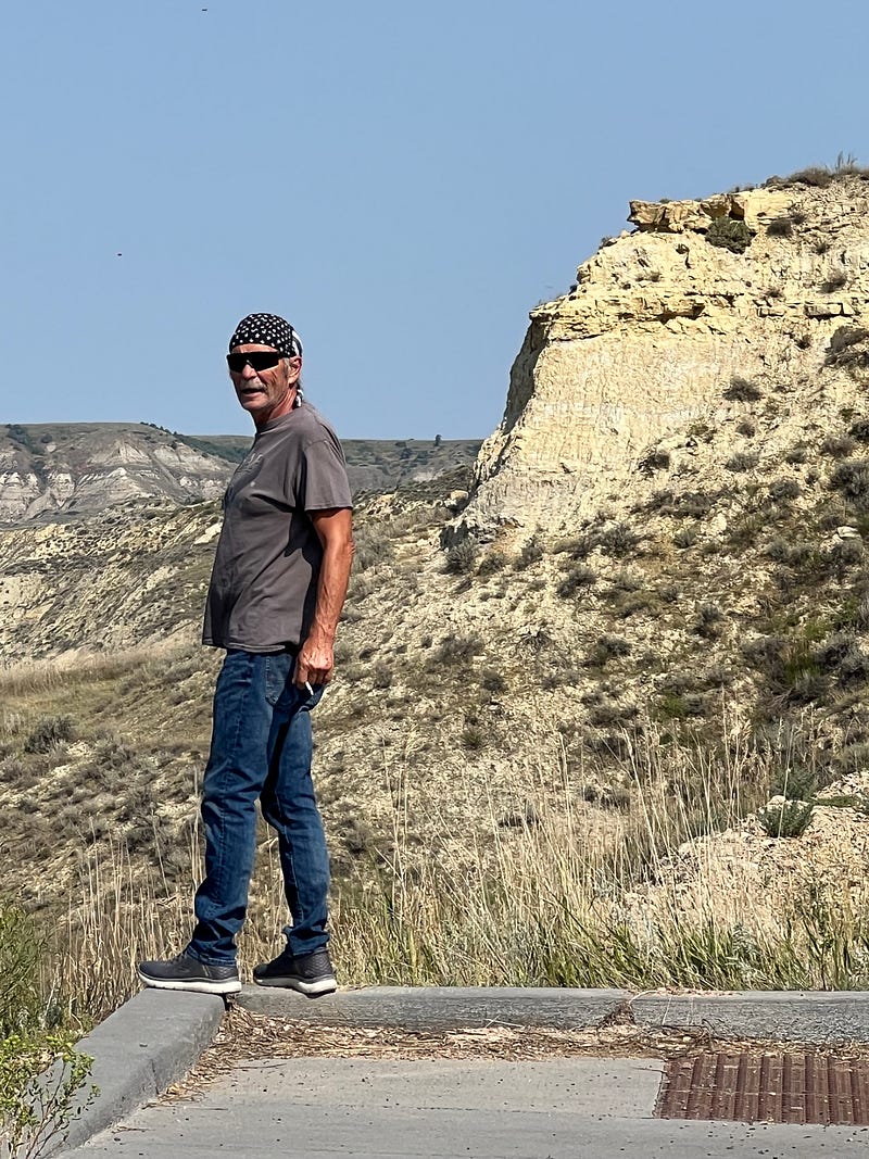
The next trail pull off is the Skyline Vista. This is a short 0.2-mile round trip paved path leading to a viewing area overlooking the Little Missouri River. We didn’t walk it, but Rich walked out to the edge of the pull off and looked down.
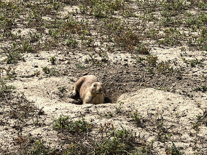
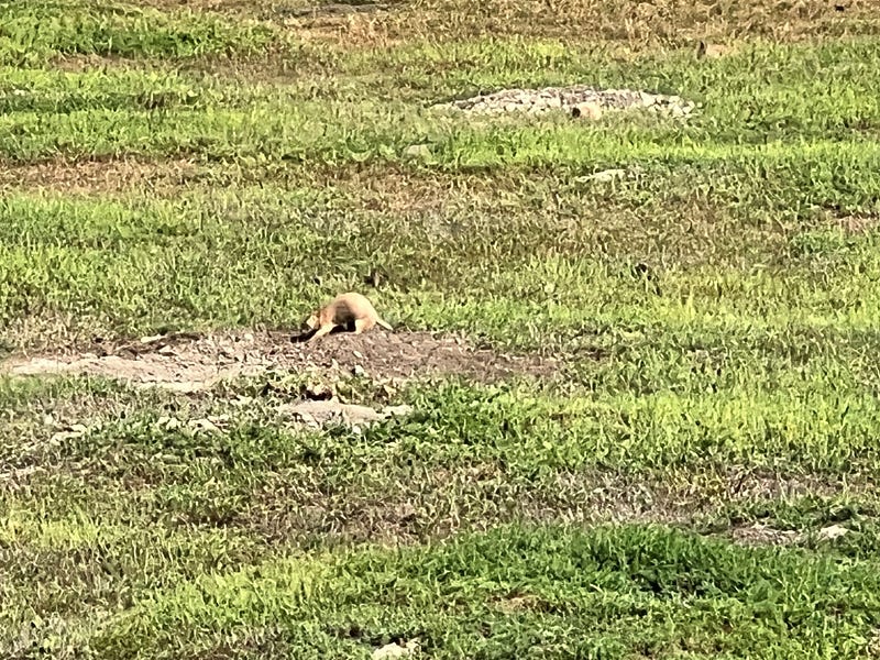
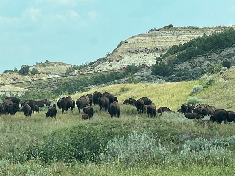
The entire area of this national park is dotted with prairie dog towns. Hundreds and hundreds of prairie dogs live in the area and are so fun to pull off and watch.
We drove down the Cottonwood turnoff and the views are absolutely gorgeous. After this turnoff is the Peaceful Valley Ranch.
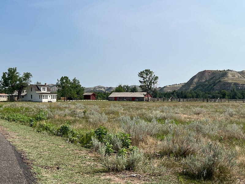
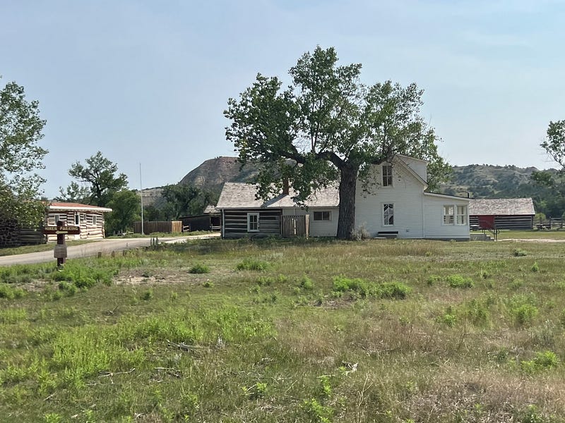
This is the only original ranch house remaining in the park. It served as a popular place for guided horseback rides from 1918 to 2014. The property changed hands many times over the years. At this time, the property and buildings are not being used. Three of the buildings, including the house, are included on the National Register of Historic Places.
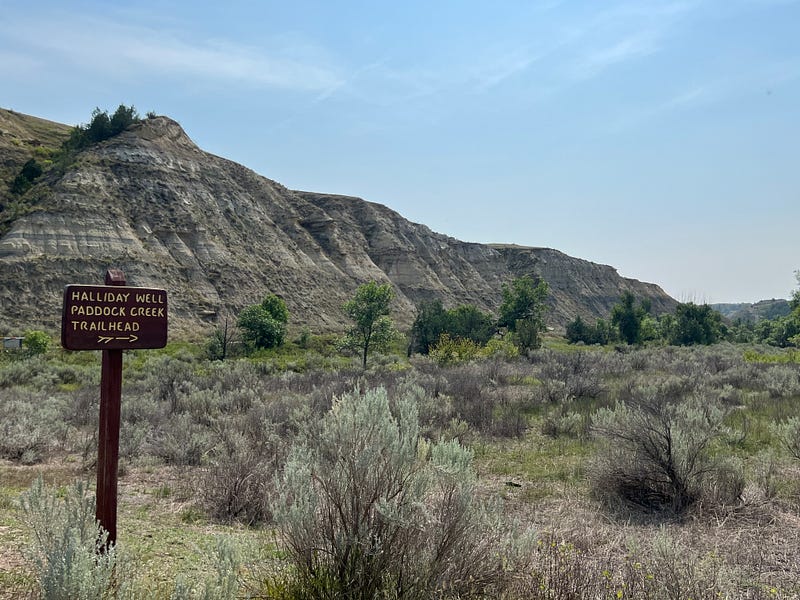
Some of the trails along the way are the Halliday Well Paddock Creek Trail, the Wind Canyon Trail 0.4 mile loop, the Boicourt Trail 0.3 mile paved path, and the Coal Vein Nature Trail 0.8 mile loop. I wasn’t able to walk any of these trails so we just kind of drove on by.
Once we reached the end of the road we had to turn around and come back the same way. This allowed me to take pictures of the other side of the road all the way back.
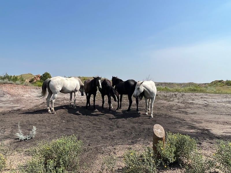
We saw some wild horses and I snapped a photo as we passed by.
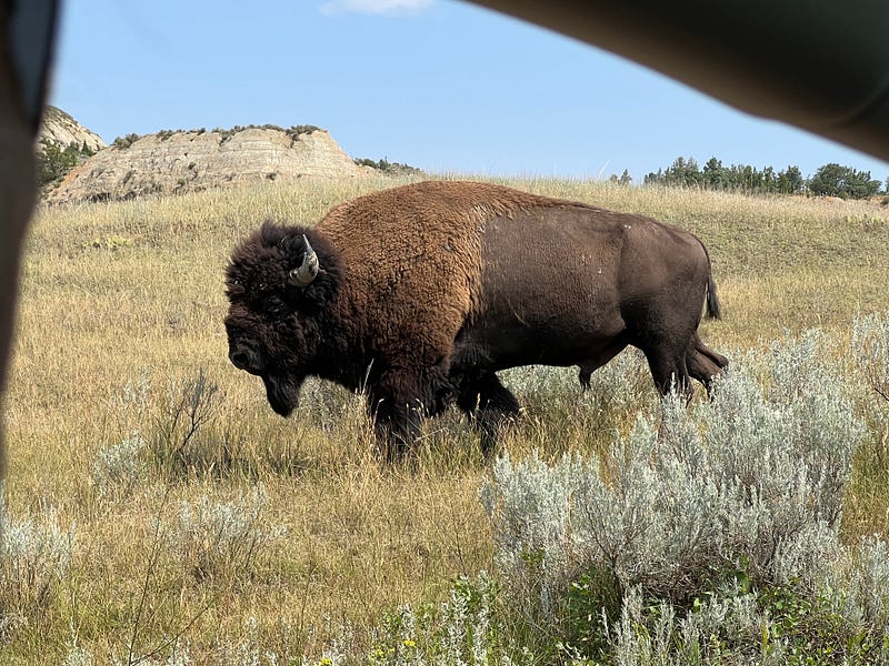
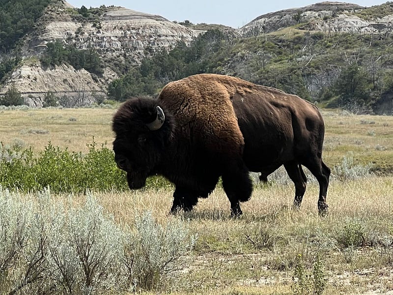
The biggest event of the day though was getting stuck in traffic while the entire south herd of buffalo decided to block the road for an hour or more as they slowly traveled their way through the park.
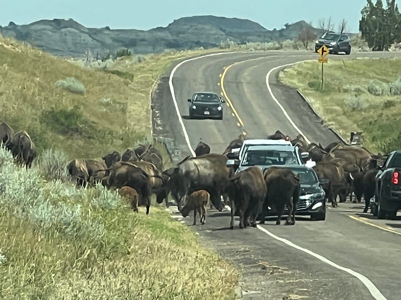
A park ranger finally had to come help get the herd off the road. The cars in front were inching slowly but only accomplished moving the herd an inch or two as they stayed in the road and crossed back and forth.
Theodore Roosevelt National Park South Unit is beautiful and I see what the man loved about the park. Stay tuned for our visit to the North Unit.
Thanks for coming along with us on our travels. And thanks for reading, clapping, commenting, and highlighting. I appreciate the support.