
The Power of Generative AI in Urban Planning: Text2Map Revolution
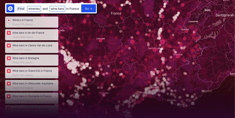
In the last 3–5 years, the rapid development of artificial intelligence has unveiled radically new possibilities across many industries, including urban planning and architecture. With the recent emergence of large generative models like MidJourney and ChatGPT, architects and spatial designers have enthusiastically adopted them in their daily work. However, these AI tools are currently primarily used for creating visualizations (still far from perfect, by the way) and drafting explanatory notes. Yet, the true potential of generative AI in urban design still needs to be explored.
AI’s tangible and quantifiable benefit lies in data processing during the pre-project analysis phase of urban planning. Before creating a concept, architects must evaluate usage patterns of a territory, existing and potential issues and social infrastructure in the area. This fundamental analysis includes demographic studies, the density of various functions, pedestrian and transportation accessibility, traffic congestion at critical points, and examining the terrain and landscape.
Architectural studios, urban consultancies, project bureaus, municipal administrations, and specialized universities all face roughly the same challenges in spatial data analysis and interpretation:
- Many cities lack fully digitized or even collected data for the necessary parameters. That makes Data Gathering and Verification extremely challenging. Datasets often need to be procured (at best) or scraped (at worst), followed by rigorous checks for accuracy and completeness. It requires, at least, significant time and financial investments and, at most, advanced data engineering skills.
- Architects creating urban development concepts must understand what they will be working with visually. This is where analytical maps come to the rescue. Building these maps also requires programming and visualization skills and typically involves software like ArcGIS (complex and expensive), QGIS (complex and less stable), and similar tools.
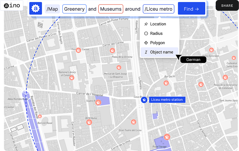
At Aino, we thought: What if we could relieve architects of this headache and empower them to independently gather and process the necessary data without the need for GIS experts and costly software?
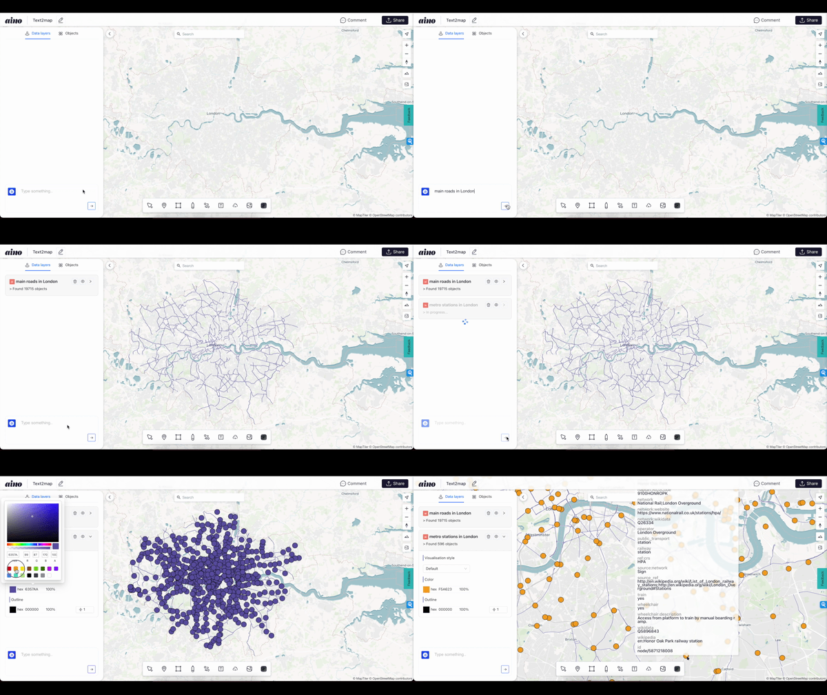
This is how the concept of Text2Map was born. The model uses combinations of Large Language Models (LLM) and an algorithmic approach to visualize data from third-party APIs and our own databases right on the map.
This innovation allows users to easily search for georeferenced objects by simply inputting natural language queries without the need to write code or select keywords. The data is collected from open sources and third-party providers or uploaded directly by users. The results are then displayed straight on the map.
Here is the step-by-step process of the Text2Map engine turning questions in natural language, such as “How many bus stations are around Bryant Park in a 5-minute walk?” into API or database queries:
- Tokenization: The natural language input is tokenized, being split into individual words, or tokens. These tokens are then analyzed to understand the structure of the sentence and its constituent parts (e.g., subjects, predicates, circumstances, etc.).
- Entity Extraction: The system identifies and classifies words or phrases in the query that correspond to specific geo-entities, such as cities or districts.
- JSON Generation: After identifying entities and conditions, the system constructs JSON objects with the necessary metadata about the subject. This generated JSON is used for an API request.
- Output: The system visualizes the result on a map in user-friendly formats, ranging from points and arcs to hexagons and heatmaps.
The next stage of the Text2Map technology development involves implementing the functionality of limiting the search within or around precise locations or polygons. These objects can be uploaded by users, retrieved by the AI assistant, or previously placed on the map. This functionality will enable users to interact with relevant data slices without being distracted by visual clutter.
Conclusion
Generative AI has firmly established itself in the production of images and texts. However, the journey for spatial data is just beginning. With the rapid development of the GIS industry and the emergence of vast spatial datasets covering the entire planet (https://www.cnbc.com/2023/07/26/meta-microsoft-amazon-join-overture-maps-to-vie-with-apple-google.html), we can now train and adapt AI for real-world data. In this scenario, AI won’t replace architects but will empower them, providing a foundational basis for every urban planning project. Furthermore, this evolution will pave the way for a new specialty in the GIS field: GeoAI specialists, responsible for ensuring algorithmic quality and applicability for spatial challenges.
Aino is an AI for spatial data analysis. Aino transforms data questions into interactive maps, charts, and graphs. Read more about us on our LinkedIn, Instagram and website.
With love, Aino Team.


