
Mountains Peaks, Steep Mountain Slopes, Hills, and Valleys
A photographic journey across the landscapes in western parts of Norway.
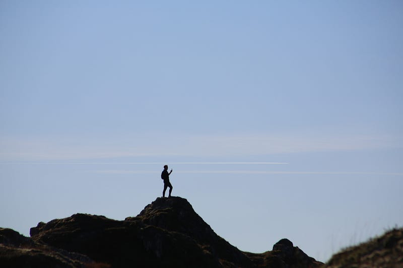
#1 My favorite mountain hikes
I have made up my mind to try a new creative project here in Happy Hiking: A series of stories that show what the eye can see when one is a hiker in Norway.

Why am I doing this?
I love my country, and I especially love the landscapes with valleys, forests, lakes, outfields and cultivated areas, rivers, high mountain plateaus, beautiful mountain peaks. In short, I am a supporter of protecting and preserving the beautiful untouched natural areas that still exist in this country.
I look at this like this because of the aesthetic, the incredible beauty that we hikers can see every single day when we are out and hiking in nature. But even more important is that we must take care of our country and nature so that those who come after us can also experience and enjoy our nature.
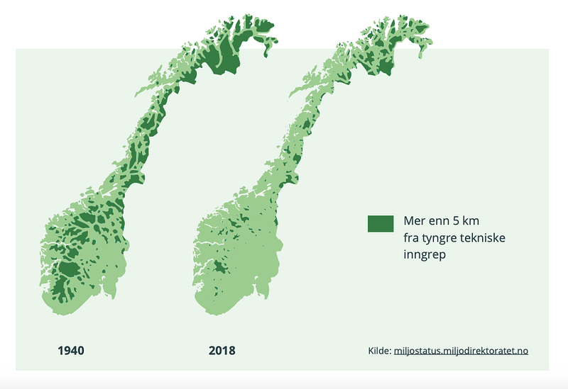
Here’s a graphic that shows the reduction from 1940 to 2018 of areas in Norway situated more than 5 km from heavier technical intervention:
What is Norway?
Norway is made up of lots of fjords, lakes, mountains, plains, valleys, fields and forests.
We are 5.3 million people, who live mostly in the larger agglomerations, in cities of moderate size. Only four cities have a population that exceeds 100.000. Bergen is the second largest city in Norway.
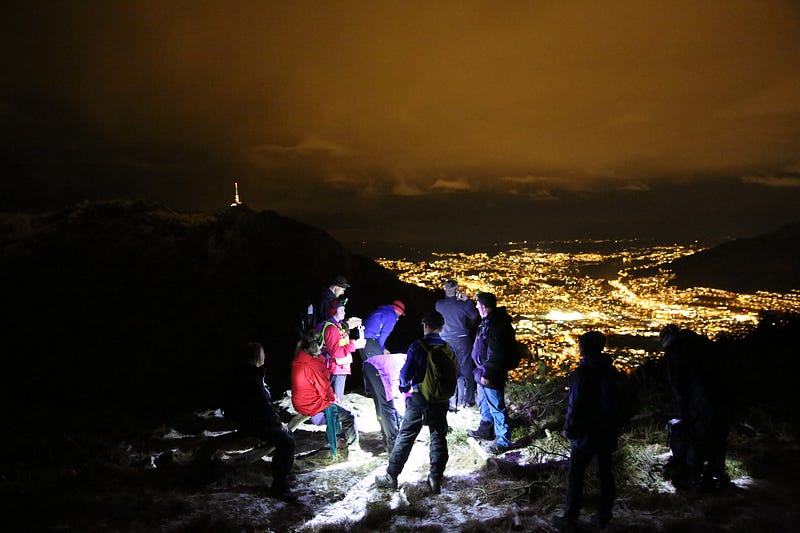
Ulriken is the highest of the seven mountains around Bergen city center. The altitude is 643 meters above sea level. At Ulriken, a mast has been built for broadcasting and telecommunications.
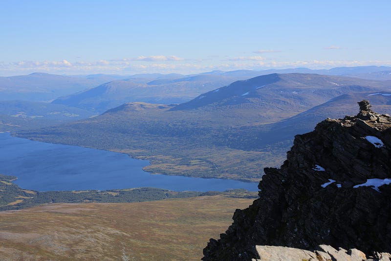
Near Bergen, there are many peaks below 900 meters that are within range from 2 to 3 hours.
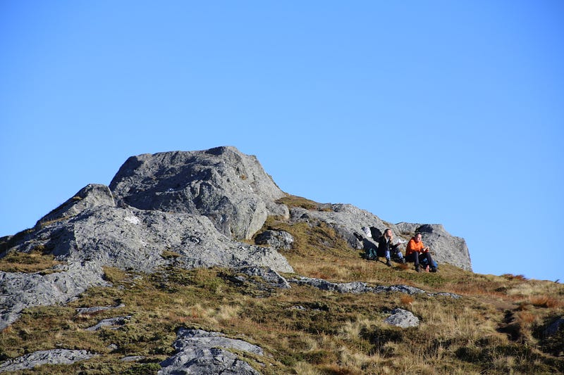
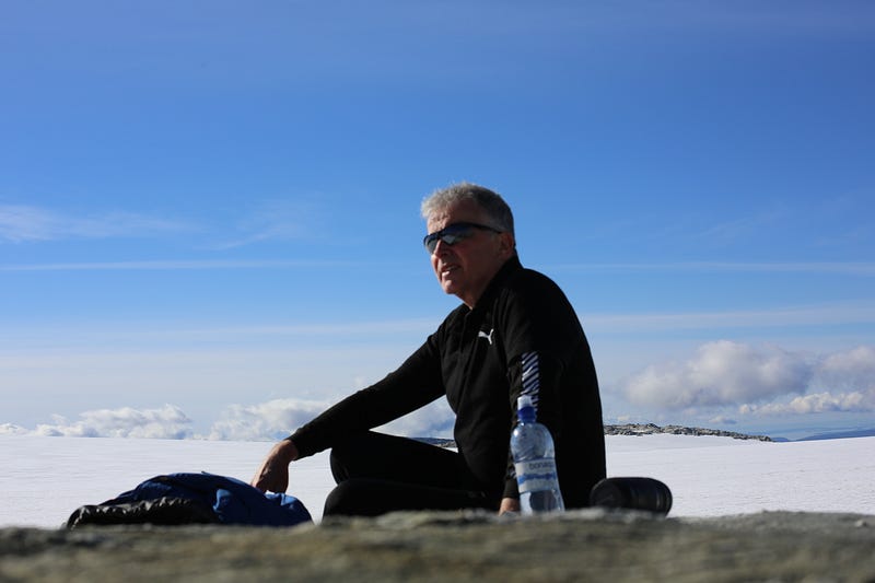
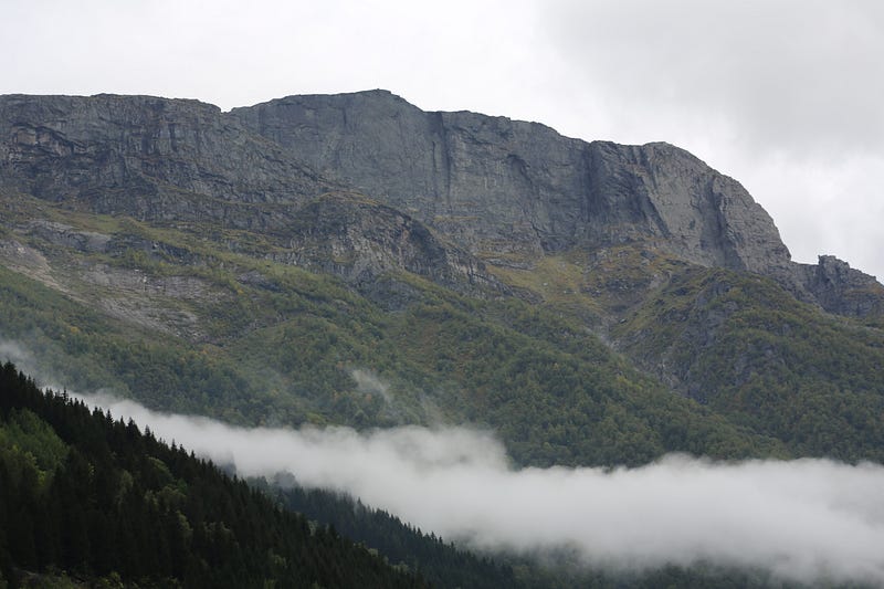
In the Hardanger region, there are a number of great hiking destinations that require from 6 to 9 hours of walking. These mountain peaks are from 1000 to 1600 meters above sea level.
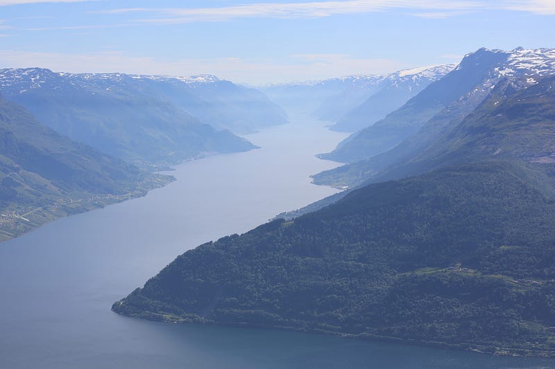
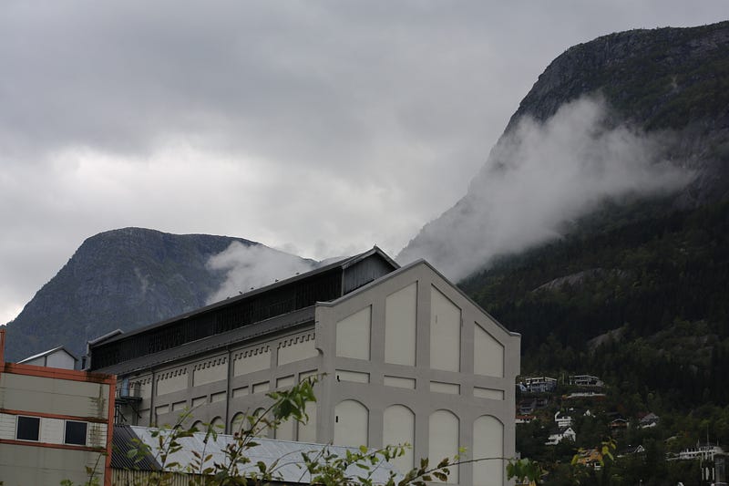
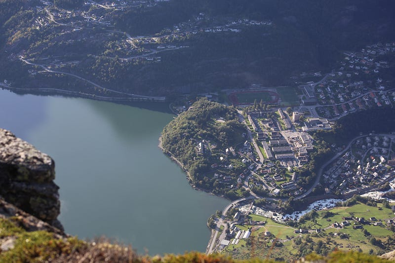
At the southern end of Sørfjorden lies Odda, which is the starting point for many nice walks.
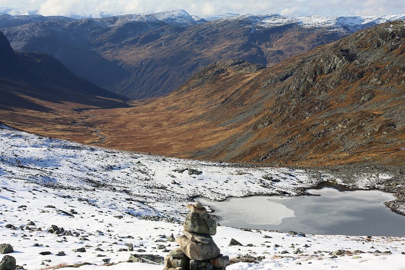
From Odda you can go straight over steep mountain slopes to peaks that give a fantastic view.
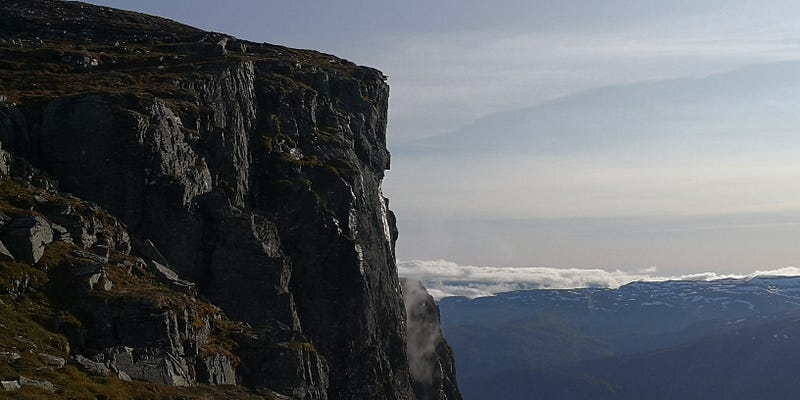
One trip goes up to the west, on the old tourist path to Folgefonna.

Another goes a little south of the path to Folgefonna, to Eidesnuten 900 masl.
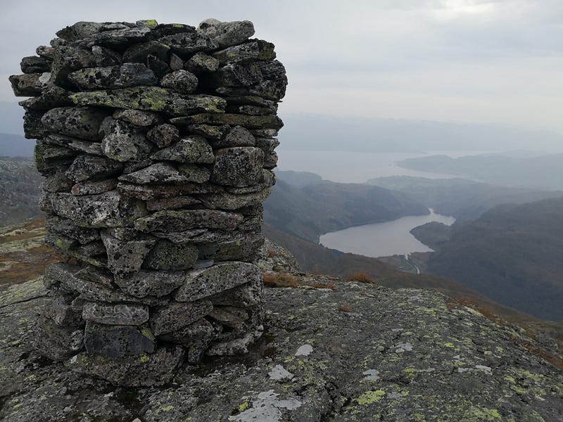
A third, demanding trip goes steeply uphill to the east, via Freimstølen to Rossnos, 1407 masl.
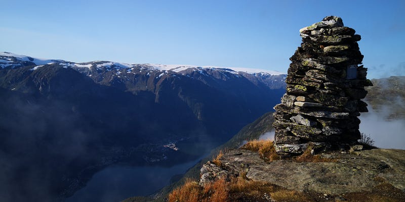
Rossnos gives perhaps the strongest impression of being on top.
So…
what do you think?
All rights reserved. © Øivind H. Solheim , @oivind47, author of novels, poetry, articles, essays, short fiction and experimental writing. fiksjon@gmail.com
Norway
Area - Total 385 207 km² - Water 6% Population 5,367,580 (2020) Population density 13.93 inhabitants / km²
Norway’s landscape is generally rugged and rich in mountains, more than half of the area is mountains, fresh water and plateaus. Only 8,000 km² are cultivated and 37% are forested. About half of the area is above the forest boundary and about half of the forest is of commercial value. Eastern Norway has the largest share of productive area with 41% and Trøndelag with 27%.
Of Norway’s area, 7% are islands in salt water. Most of the country’s settlement is in the sixth of the country which is below 150 meters above sea level (masl). About half of the country’s area is between 300 and 900 meters, and one fifth of the country is over 900 meters. The forest boundary goes up to 1000–1200 meters in Eastern Norway and sinks to the west and north. … Glaciers cover 1% of the mainland and over 60% of Svalbard.
(Source: Wikipedia)


