
The Minnesota Beach Where There Isn’t Any Water
The Visible Remains of North America’s Greatest Lake
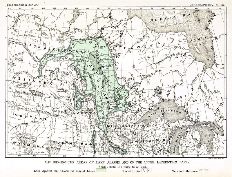
As school children, most of us learned about the last ice age, in the Pleistocene Epoch, during which the Laurentide Ice Sheet covered more than half of North America. Between 13,000 and 8,500 years ago, the ice sheet went through multiple melt phases in which it created a giant glacial lake–Lake Agassiz, named for Swiss-American Geologist Louis Agassiz (pronounced AG uh see), one of the first to postulate about our past ice ages.
Lake Agassiz was a massive body of fresh water in the middle of North America, larger than all of the Great Lakes combined. As the ice sheet retreated, ice dams held back the meltwater to create glacial Lake Agassiz. As the lake drained, sometimes slowly, other times in sudden, catastrophic outflows, the lake shrank and changed, leaving behind a table-flat landscape with some of the richest farmland in the world, and even sandy beaches from it’s ever-shifting shoreline. To the geologically educated, the signs of Lake Agassiz are everywhere, but even to those like myself, without a geologic eye, there are places where you can see the remains of this monster lake. In late May of 2017, I visited one of those places, outside Fertile, Minnesota. It’s a Minnesota beach where there isn’t any water.
Not having ever been to this fascinating place, I initially had some trouble finding my way in. There’s a separate attraction, the Agassiz Dunes Natural Area, a wildlife observation preserve, just to the south, but there is a tract of privately owned land that separates it from the actual dunes I had come to see. After some searching, I discovered the Agassiz Dunes are accessible via a series of horse and snowmobile trails just west of the golf course on the southwest edge of Fertile.
With Nikon in hand, I took a little hike on a very hot day and thanked myself for quitting the smokes a few years prior.
I didn’t know what to expect, but this was very cool. As I hiked in, it became apparent this would be a fantastic place for bird watching and nature photography of all kinds.
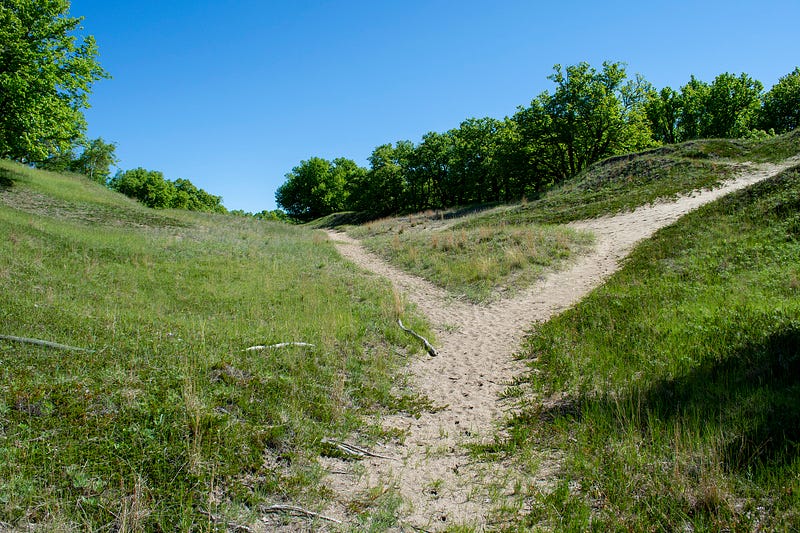
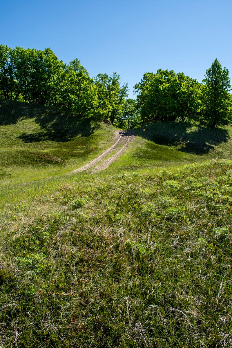
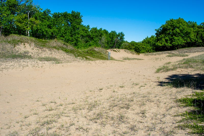
I’d read online to follow the path to the left to get to the “Death Valley” dune; the most impressive of the sandy beaches in the sanctuary.
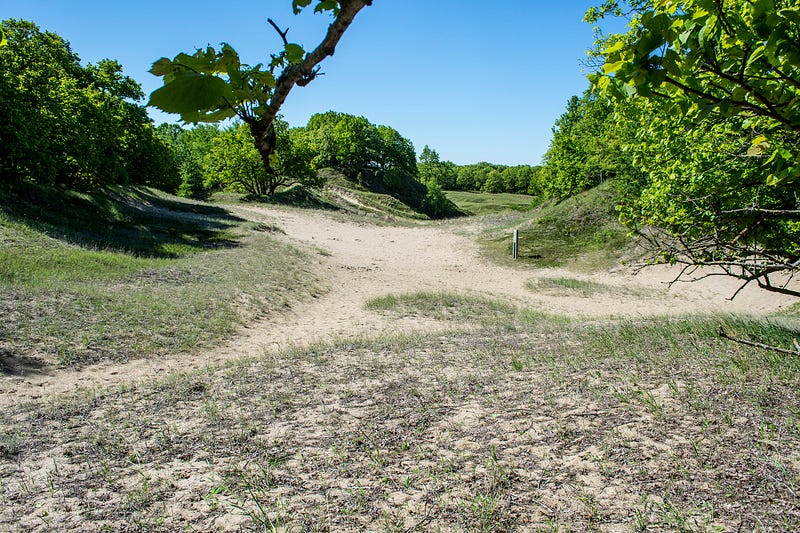
These dunes were formed as the ice sheet retreated and the weather became dry and hot. In wetter times, foliage appears and covers the dunes, and in dry periods, the growth retreats and the sand becomes more visible.
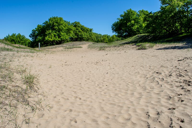
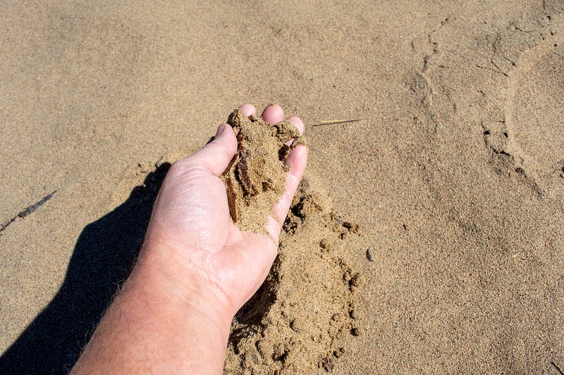
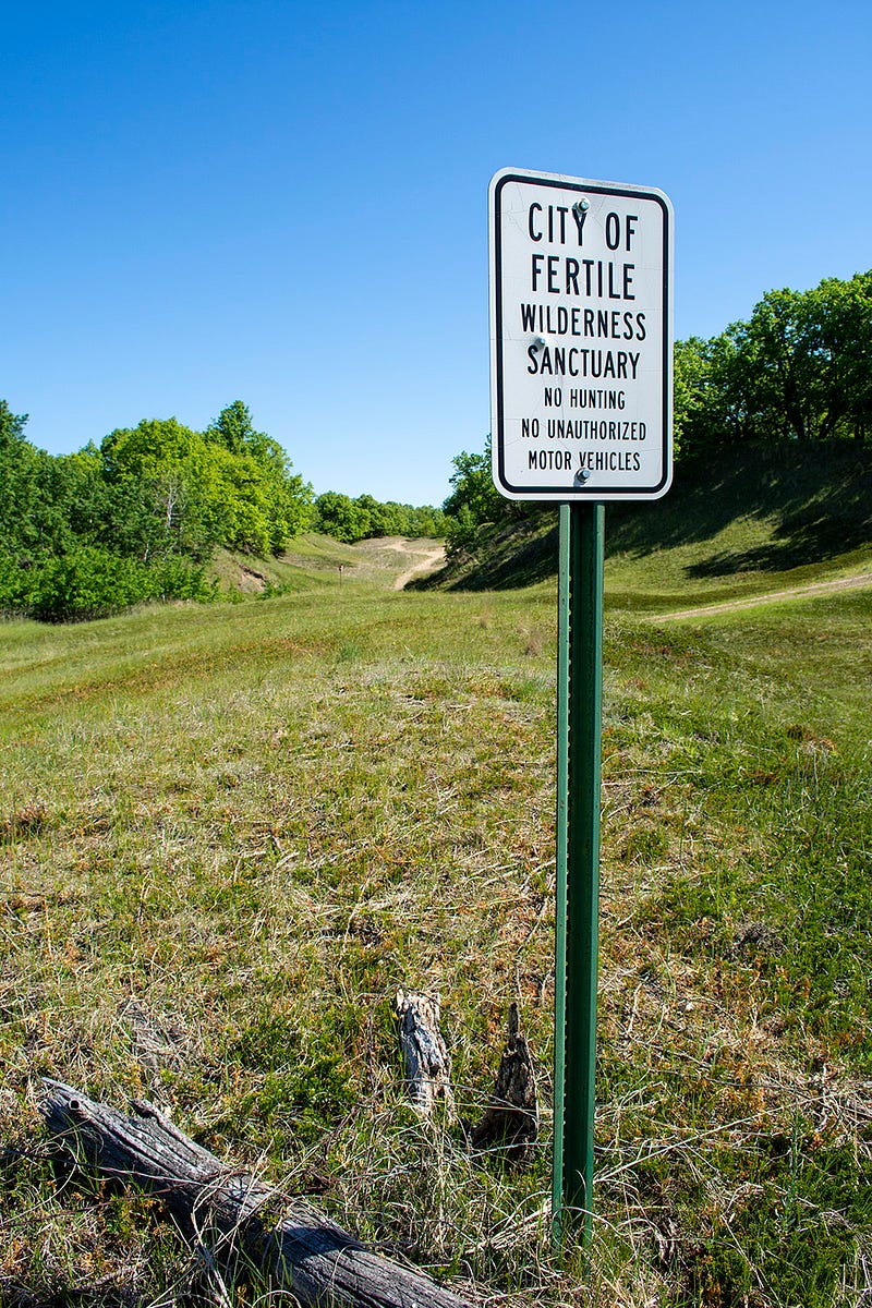
The sand feels just like beach sand. It’s a soft, fine grain sand that shifts beneath your feet when you walk on it. There were deer tracks in the sand in a number of places, but this area is owned by the city of Fertile and there is no hunting allowed.
Did you know central North America was once home to a giant lake? Let me know your thoughts in the comments.
Troy Larson is a writer, digital content creator, and true crime researcher with hundreds of podcast and broadcast credits to his name. Reach out on Twitter.