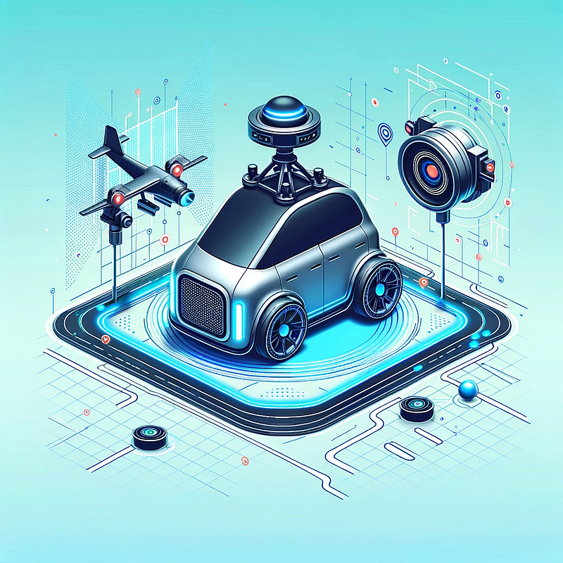
Implementing Real-time 3D Mapping for Autonomous Vehicles: A Detailed Guide

Introduction
The advent of autonomous vehicles (AVs) is rapidly transforming the transportation landscape. A critical component in the development of these vehicles is real-time 3D mapping, which allows AVs to navigate and interact safely with their environment. This article delves into the implementation of real-time 3D mapping for AVs, leveraging advanced computer vision techniques and sensor data processing.
Understanding Real-time 3D Mapping
Real-time 3D mapping, also known as simultaneous localization and mapping (SLAM), involves the continuous creation and updating of a map of an unknown environment while simultaneously keeping track of the vehicle’s location within it.
Key Components
- Sensors: LIDAR, cameras, GPS, and IMU (Inertial Measurement Units) are critical for capturing environmental data.
- Data Processing Unit: Powerful onboard computers are required to process the sensor data in real-time.
- Mapping Software: Algorithms that can construct 3D maps from sensor data and update them dynamically.
Implementation Strategy
1. Setting Up the Environment:
Begin by setting up a development environment with necessary libraries. For simulation purposes, ROS (Robot Operating System) can be used alongside Python.
sudo apt-get install ros-noetic-desktop-full
pip install opencv-python
pip install pcl-python
2. Sensor Data Acquisition:
Collect data from LIDAR, cameras, GPS, and IMU. In a simulation environment, this data can be obtained from a virtual AV.
# Pseudo-code for data collection
lidar_data = get_lidar_data()
camera_images = get_camera_images()
gps_data = get_gps_data()
imu_data = get_imu_data()
3. Sensor Fusion:
Integrate data from different sensors to create a cohesive understanding of the environment.
# Pseudo-code for sensor fusion
fused_data = fuse_data(lidar_data, camera_images, gps_data, imu_data)
4. Constructing the 3D Map:
Use SLAM algorithms to construct and update a 3D map. Libraries like OpenCV, PCL (Point Cloud Library), or specialized SLAM libraries can be employed.
# Pseudo-code for 3D mapping
map_3d = create_3d_map(fused_data)
update_3d_map(map_3d, new_sensor_data)
5. Localization and Path Planning:
Continuously update the vehicle’s position within the map and plan the optimal path.
# Pseudo-code for localization and path planning
current_position = localize_vehicle(map_3d, gps_data, imu_data)
planned_path = plan_path(current_position, destination, map_3d)
Challenges and Considerations
- Data Processing Speed: Ensuring real-time processing of massive sensor data is crucial for the responsiveness of the system.
- Accuracy and Reliability: The mapping and localization algorithms must be highly accurate and robust against environmental changes.
- Sensor Calibration: Proper calibration of sensors is essential to ensure the accuracy of the data they collect.
- Computational Resources: High-performance computing resources are required for real-time data processing and map updating.
Conclusion
Implementing real-time 3D mapping for autonomous vehicles is a complex yet fascinating challenge that sits at the forefront of automotive technology. This endeavor not only requires a deep understanding of computer vision and sensor fusion but also demands high computational power and sophisticated algorithms. As the technology matures, we can anticipate more advanced and reliable systems, paving the way for the broader adoption of autonomous vehicles in our daily lives.
