Travel
I Traveled to Paris City via Apple Maps Through The Feature of Flyover
If like to travel around the world, Apple Maps present to travel through the feature of Flyover. I traveled to Paris city. Let’s first look at how to do it and travel cities together.
In daily life, we’ve been using severe different map applications such as Google Maps, Apple Maps, and Yandex Maps. These are the most famous applications used among people. We could generally the maps to arrive at a certain location whereas they present much more features to ease our life.
One of the examples of these features, my favorite, is to provide traveling around the world with strength 3-D technology. Through this feature, we review many places that wonder how there are looking. It’s not a substitution to travel physically but we couldn’t have enough facilities to see all of the world not only have no money but also have no time.
I’ve discovered the feature of Apple Maps many years ago. Then it doesn’t involve all of the regions in the world, some cities are still not available, it had presented nearly around the USA cities. Now, it’s getting more widespread including in Europe. If you are ready, let’s begin to travel to the most beautiful cities.
1. First, Open Apple Maps on your device
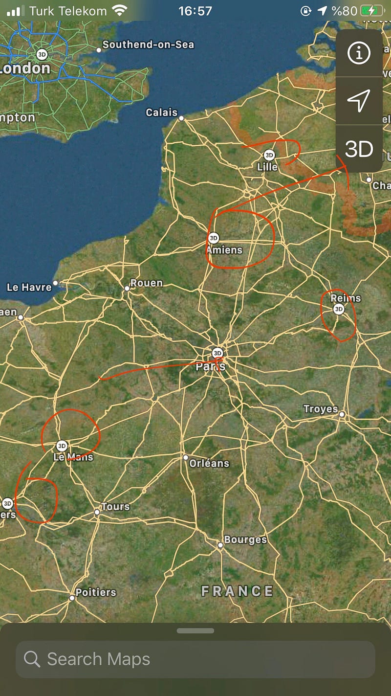
When it opens Apple Maps, click on the 3-D button where you want to travel. If you choose 3D on the right side of the big 3D you see all of the places with 3-D.
2. The Using the Feature of Apple Maps Flyover
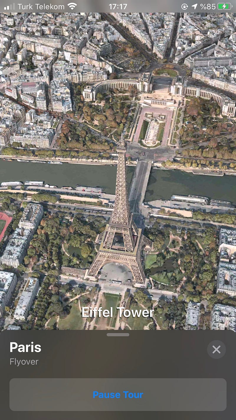
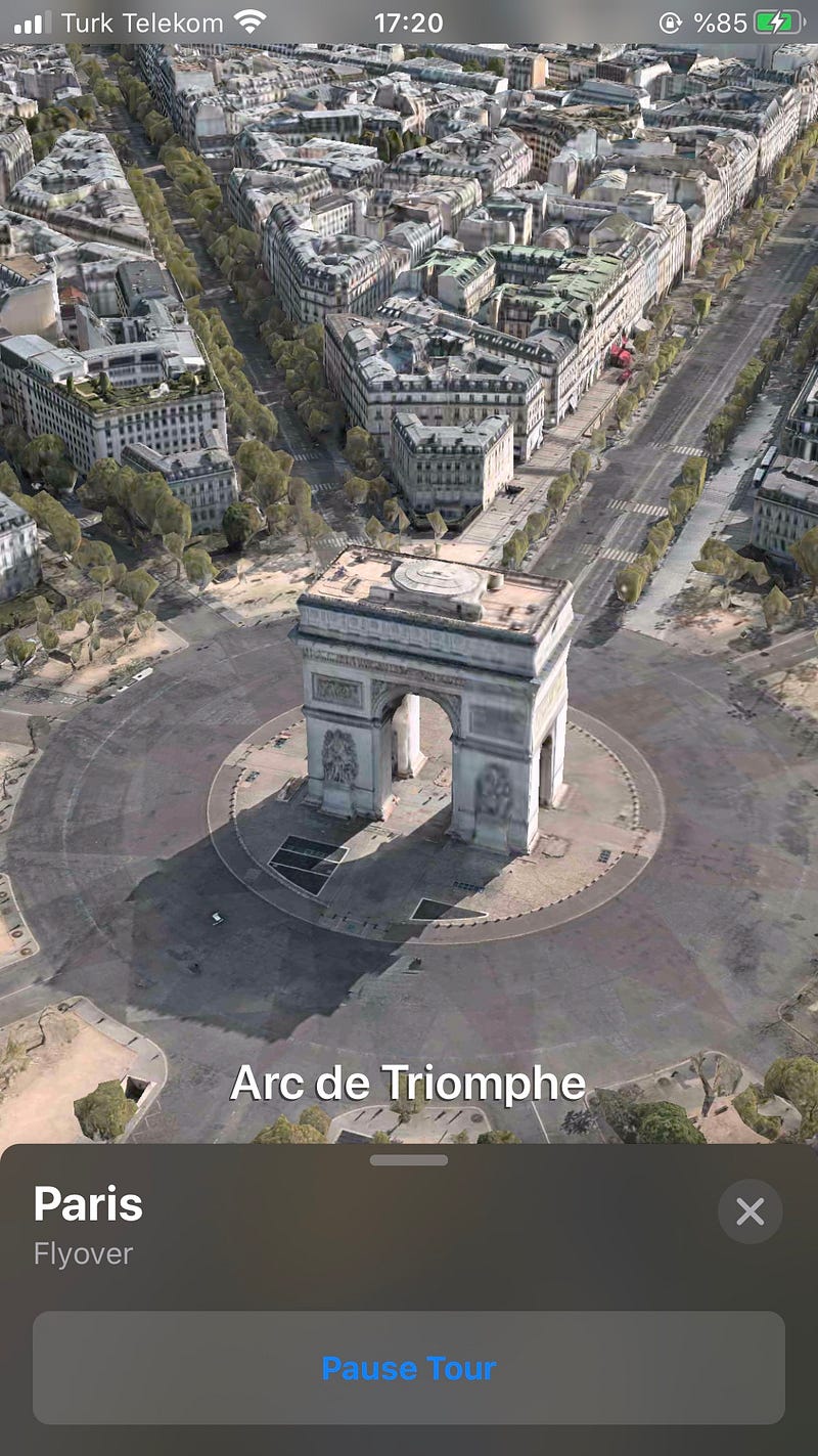
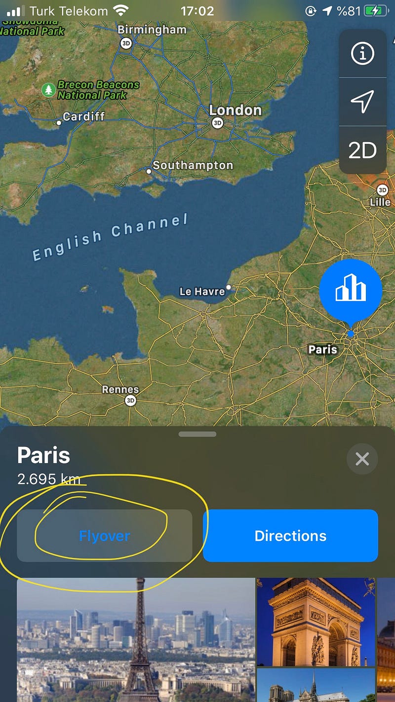
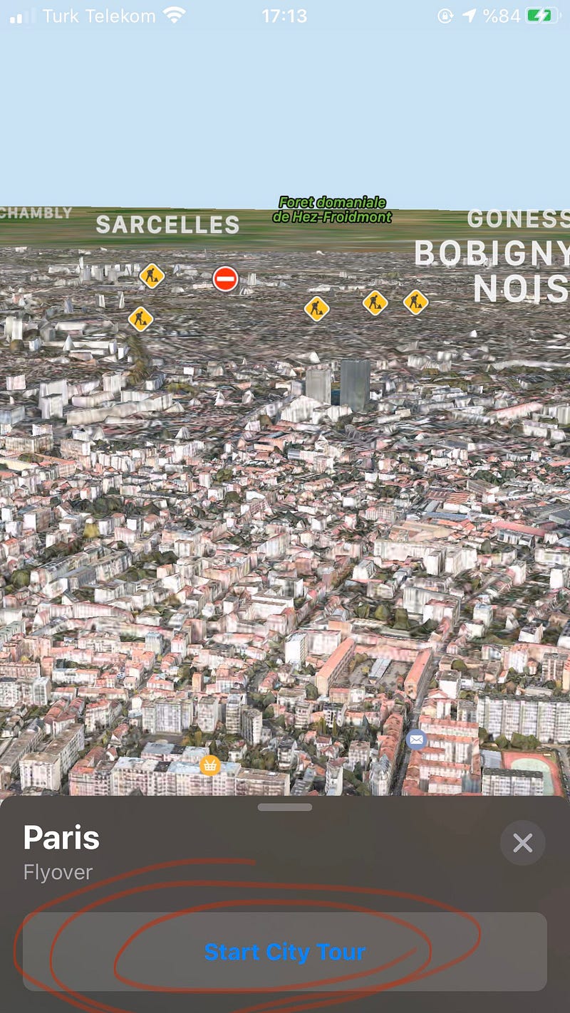
After you click on the button 3D, open a page that you see in the picture. You click again Flyover, therefore, would start an amazing journey over Paris city.
3. Starting City Tour
Before clicking on “Start City Tour,” you can move your device it provides to see all points in this city. You see the name of the districts.
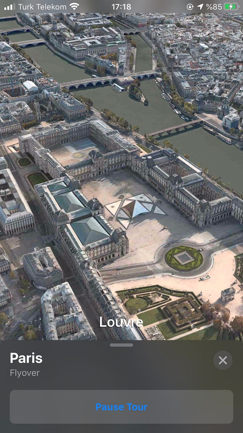
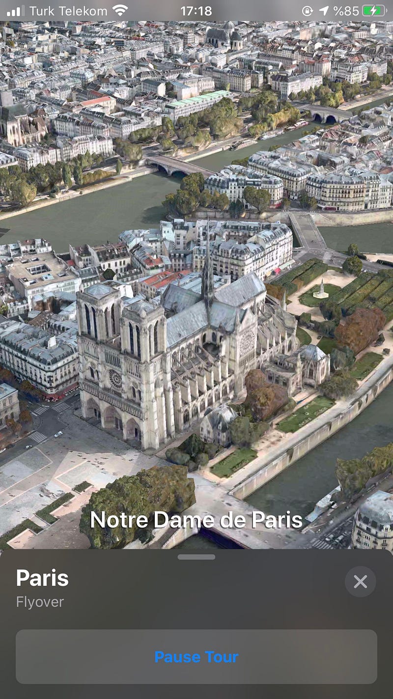
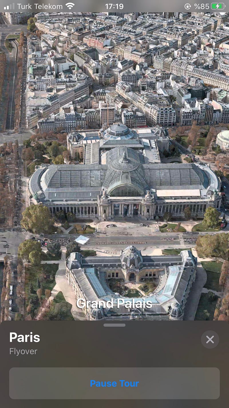
Our city tour is started. I would say that it is a good technology. My internet connection is weak. If your connection is better, you will take better results than my screen-shots. City Tour starts as a video record but I take screen-shots as photos and you see like this format.
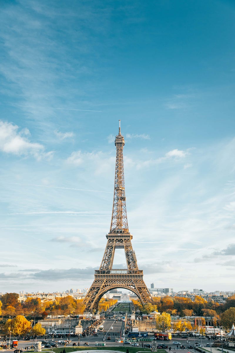
And it’s Paris…