
America the Fascinating, Wondrous and the Beautiful, as Seen During Part of a Cross-country Trip in 2011
I’d thought the vast majority of these photos were gone forever, but recently found an old digital camera with an intact memory card. May I share some of them with you?
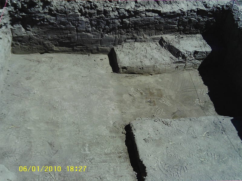
On June 20, 2011 (dates on photos are all wrong) I left the West Coast to pursue what I thought was a new career and life in the east. My first stop was in southwestern Utah for a couple weeks of archaeology — something I’d done every year for some time. The photo above is one quadrant of the excavation unit I was in charge of, and shows what would become the very first evidence of a wall in a Fremont (about 700 -1300 C.E. Amerindian culture roughly contemporaneous with the Anasazi) site in that part of Utah. From my journal, the correct date of the photo is June 29th.
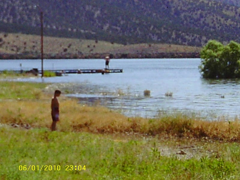
Most of the group camped right near the site, but some also stayed — or at least visited — a lake and campground some 20 miles away. It was a great place to get a hot shower, and also hang out; and for some of us had the closest cell phone service. See photo below.
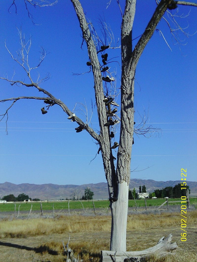
The two-or-so weeks of archaeology was part of a field school, which had been going on for years. Naturally, certain traditions came about. One was the ‘shoe tree” for the shoes ruined during the season. See photo below. 2011 was my last year there, and I heard that the tree fell over sometime after that.
The field season usually wound up right after the 4th of July — there was always a parade that seemed bigger than the town (population about 1200 back then). This particular year, I fell ill a couple days before the 4th and had to both miss the parade and force myself to continue my drive.
The photo below I took maybe 2 hours into my continued eastern journey. I’d forgotten how beautiful it was until I found these photos. It really makes me ache a little inside to see evidence of the beauty which I’d thought I’d lost.
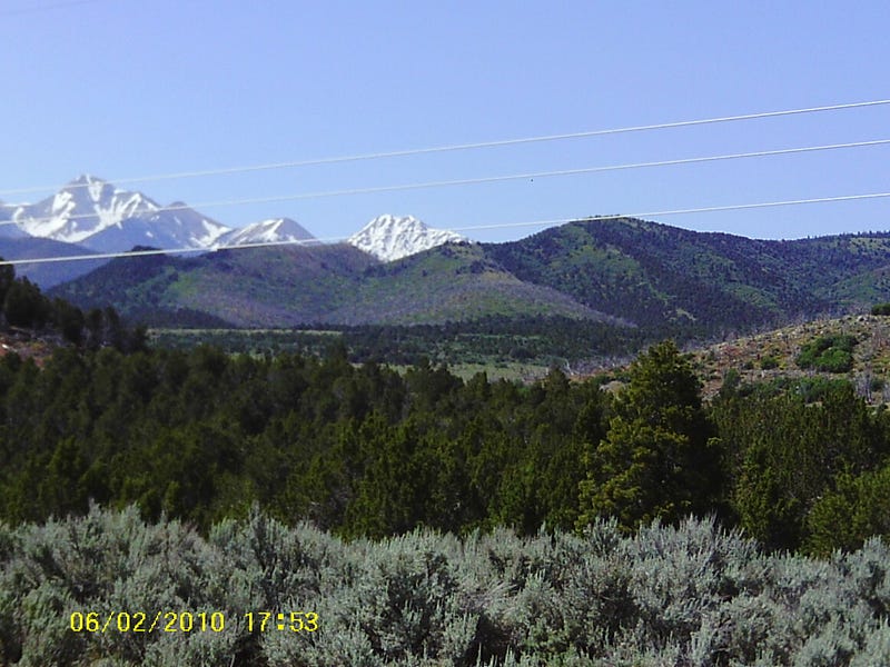
That particular region of southwestern Utah is a plateau, at above 5,000 feet, surrounded by mountain ranges another 1,000 feet higher. The above photo was (I think) on July 2nd, and you can still see the snow on the upper reaches of that mountain range.

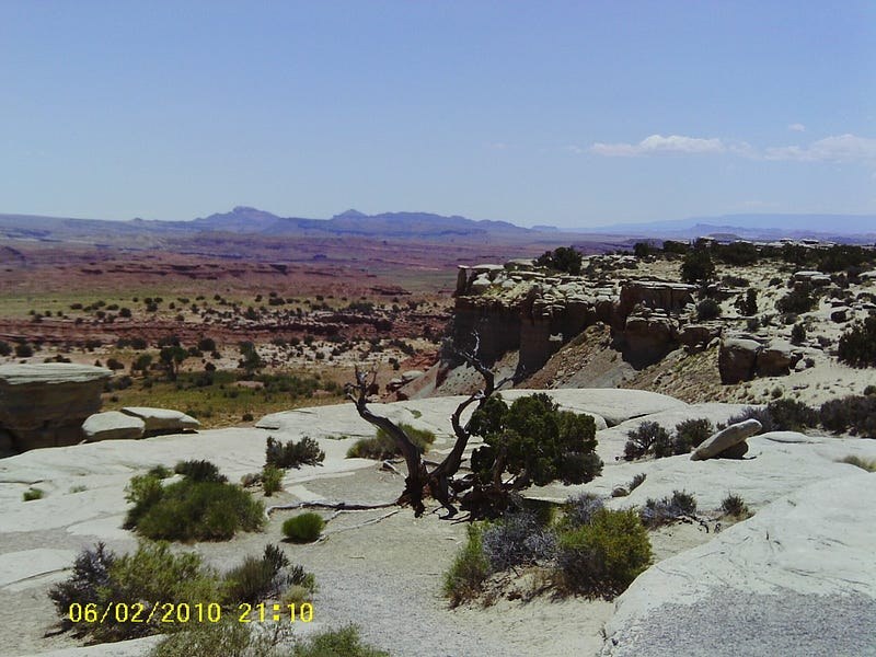
Proceeding east, I could see some changes in the landscape starting in the photo above, but still rather striking to my mind.
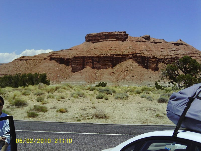
I wish I’d kept notes of my trip, as I’d really like to know where the above photo was. It was a stunning view of just about every landscape type and texture. Now that I have the photo again, I may try to do a water color of it.
The creative regularity of nature shows a little in the above photo. It almost looks like a huge red pavilion with a observation deck on top.
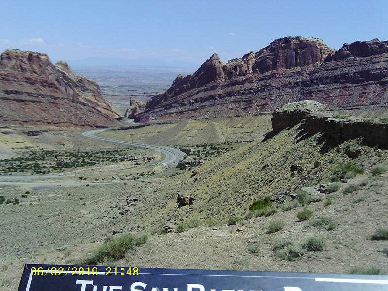
Photo above seems a geologist’s and paleontologist’s dream. Heading down into a valley, and towards a river — the name of which I’d know if I’d also photo’ed the whole sign.
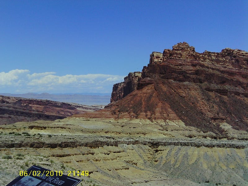
I liked the above view mostly for the juxtaposing of the remaining bluff with the background (left) sloping geology. At this point all is sloping toward a river, but there is that majestic bluff pretty much all by himself.
I actually thought I had more photos of my trip, and wish I did. But I’m very happy to have recovered these, as I believed them gone forever. After all these years I was delighted to see again some of the beauty I saw at the time. Thanks for letting me share them with you.