
Guadalupe Mountains National Park Day One
Salt Flat, Texas
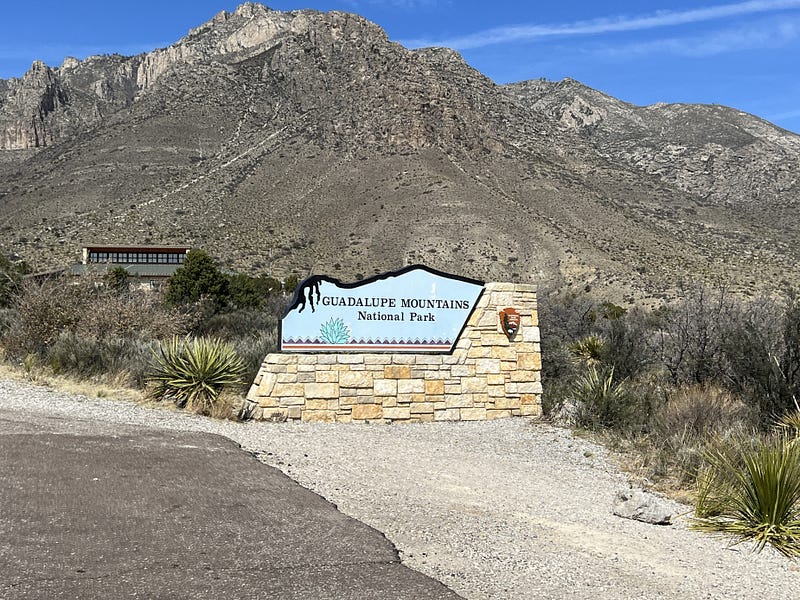
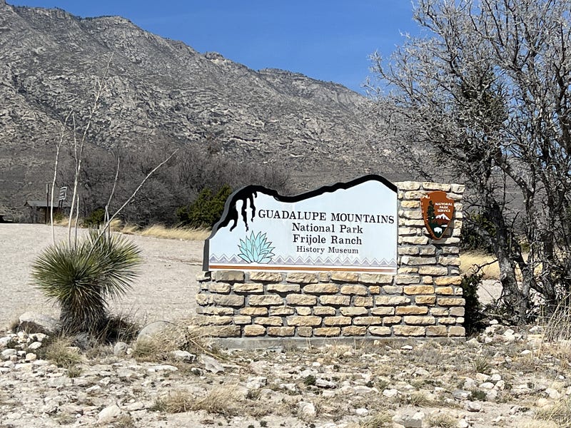
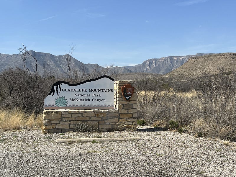
30 miles south of Carlsbad Caverns National Park in Whites City, on the same Highway 180, is the main entrance to Guadalupe Mountains National Park at Pine Springs.
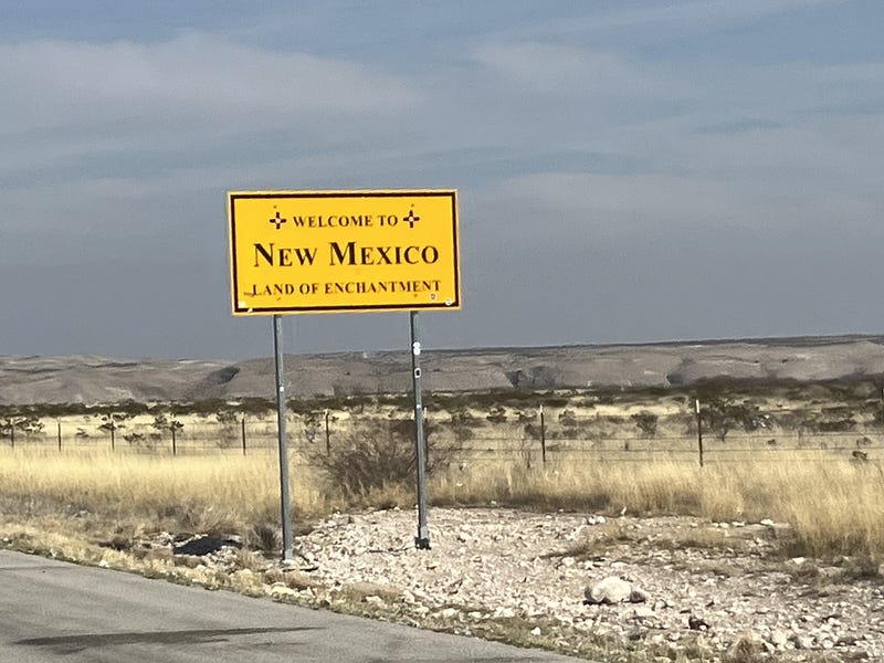
The first thing we should have remembered is that we crossed the state line from New Mexico into Texas to get to the park and the time change lost us an hour. We crossed the state line at 10 am, and it was immediately 11 am. We forgot about this and it messed with our heads all day. Then when we came back across the state line to go home, we gained an hour again. Oh!! So that’s where the time went.
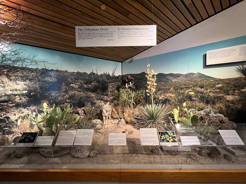
The Pine Springs Visitor Center is the first place we went so we could register and get a map. There is a small museum inside to look around. Outside there are several trails through the desert. Something different about this park is that they require your National Park Pass to be displayed in the vehicle at all times, whether by a hang tag or laid on the dash of the car. If you don’t have a pass and need to pay to get in they will give you a ticket to display.
No major roads drive through Guadalupe Mountains National Park, and we discovered there are very few points of interest where we could drive the car to. But for this first day, we drove everywhere we could. There are over 80 miles of hiking trails in the park, but at 5600 feet altitude just at the visitor center, I wasn’t able to walk very far or very fast without struggling to breath. We stuck to short walks and drives.
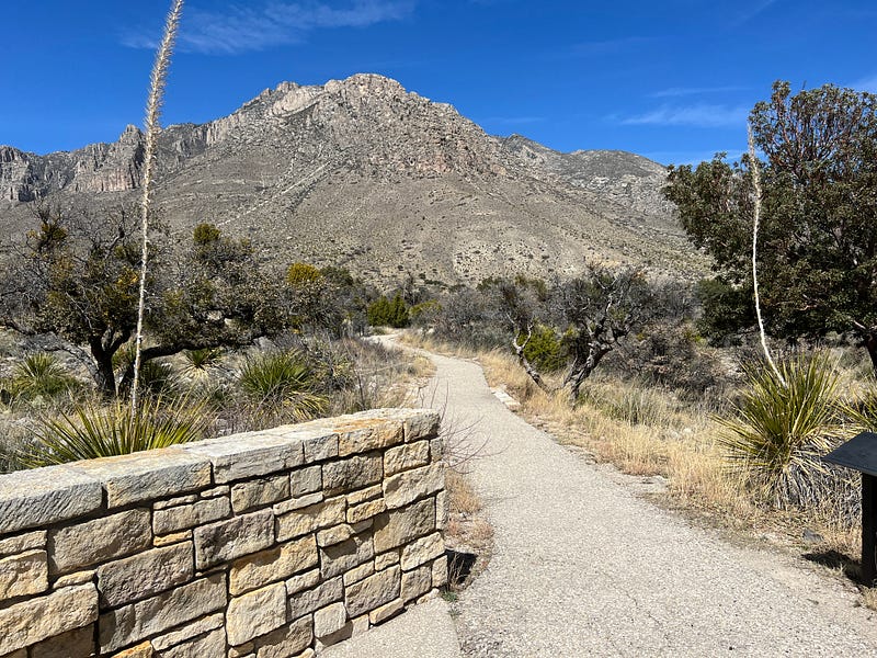
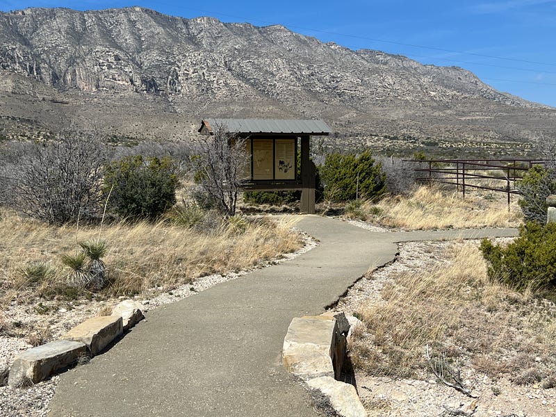
The first easy trail was the Pinery Trail. Handicap accessible, paved and easy, it was only 0.67 miles round trip right around the visitor center. This is a beautiful walk through the nature of the Chihuahuan Desert.
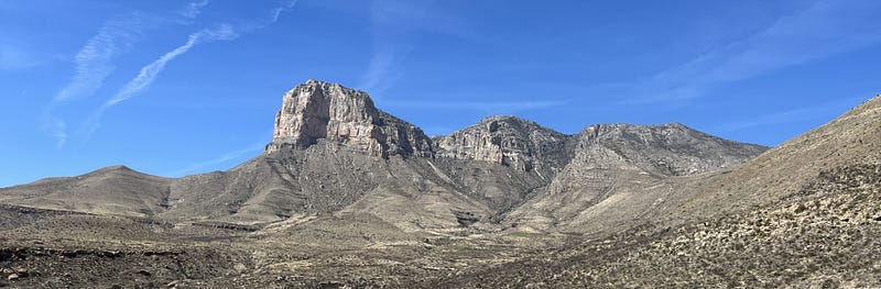
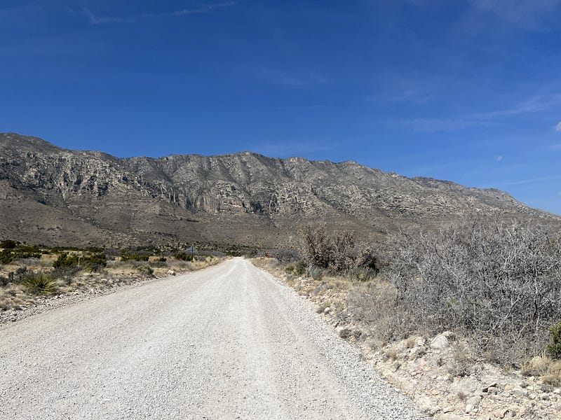
We left the visitor center and drove a little further south to see Guadalupe Peak from the Observation pull off along the highway. Guadalupe Peak is the highest point in the entire state of Texas at 8,751 feet altitude.
We turned around at the observation point and headed back north to some of the points of interest we could get to.
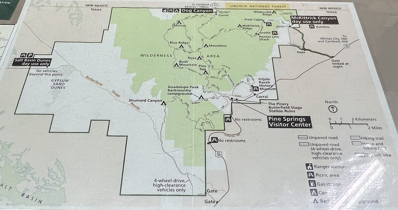
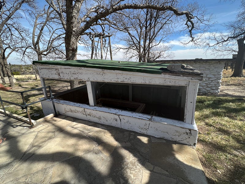
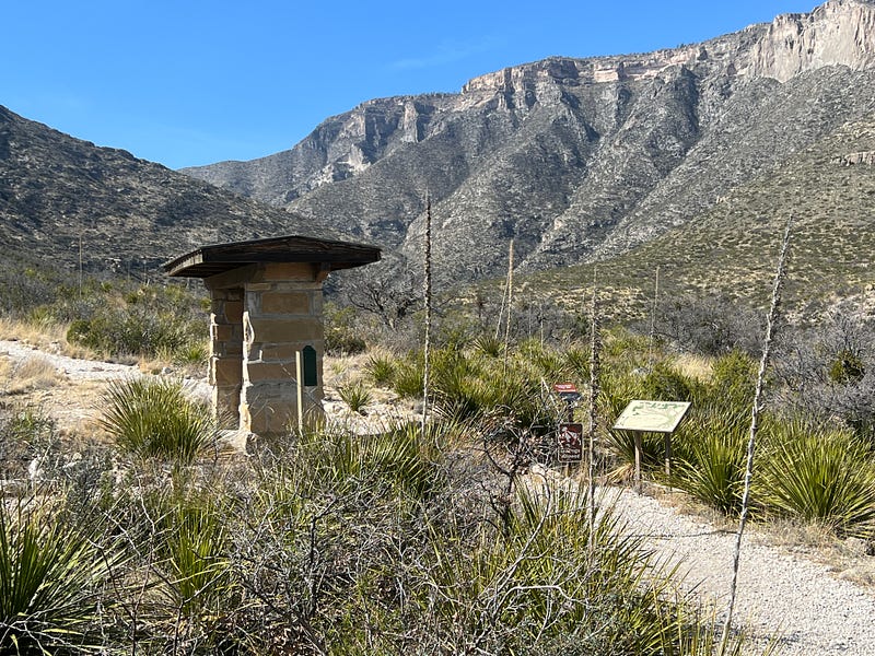
The first place we stopped to visit after passing by the visitor center again was the Butterfield Stage Station Ruins.
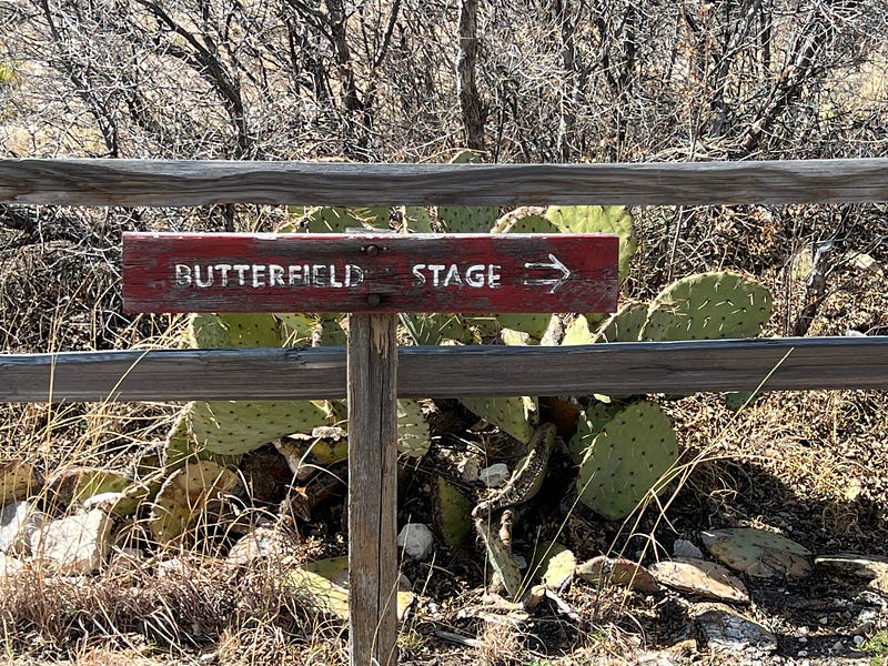
The Pine Spring Stage Stand was built in 1858 as a station on the Butterfield Overland Mail Route from St. Louis to San Francisco. It was then abandoned in 1859 when the route was diverted to the Davis Mountain Route.
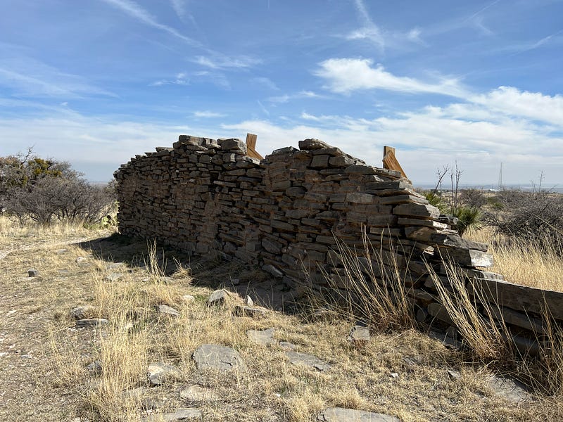
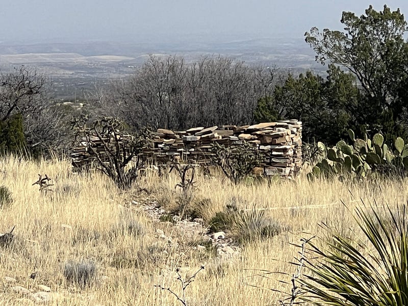
The trail back to the ruins was short and easy. Next stop on the list — Frijole Ranch and History Museum.
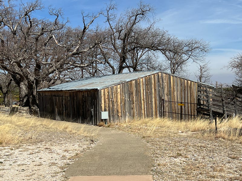
The first stop is the Horse Corral. You can park here and walk the trail or drive on back to the ranch. The trail wasn’t very short so we opted to drive back there.
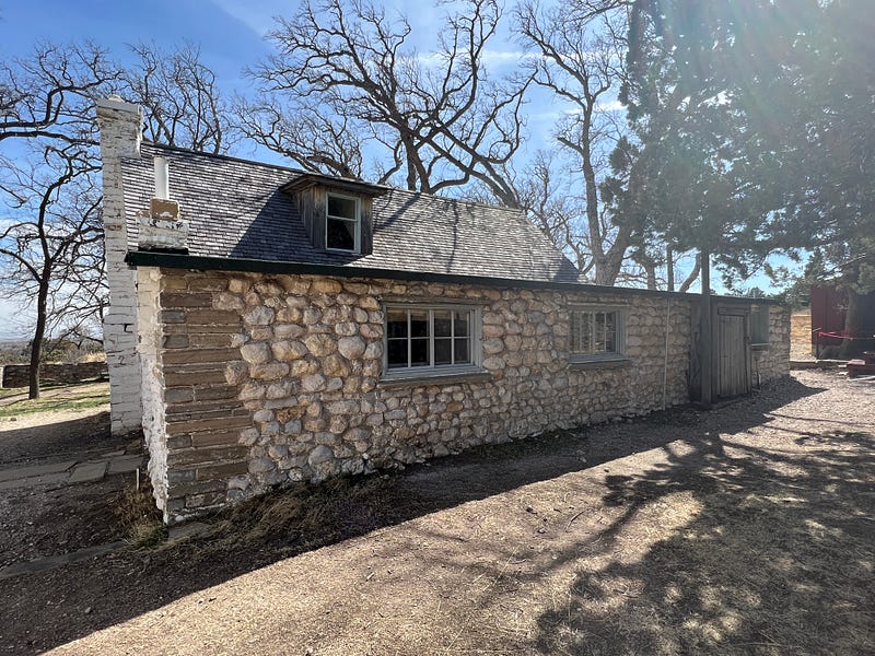
The Frijole Ranch Historic Site is the most complete remnant of early farming and ranching in the Guadalupe Mountains. Complete with barns, corrals, house, school, and a spring that still pumps 6 gallons per minute.
The first house at Frijole Spring was built in 1876. Over the years the homestead changed hands and was owned by several different families until 1971. In 1972, Guadalupe Mountains National Park was established and the park ranger lived in the house until 1992 when it was renovated and turned into a museum for visitors to the park.
The Frijole Schoolhouse was built in 1925 and used until 1930 for the eight Smith children to go to school. The Smith family, who lived here at the time, paid a private teacher $30 a month plus room, board, and provided her with a horse, in exchange for teaching their children.
There are trails behind the homestead that are paved and fairly short and easy leading to Manzanita Spring and Smith Spring. The fact that there were three natural springs so close to each other made this location a good place to settle. The only downfall was the regular run-ins with the local Apache.
If you ever get this way, don’t miss the Frijole Ranch. This was by far our favorite stop.
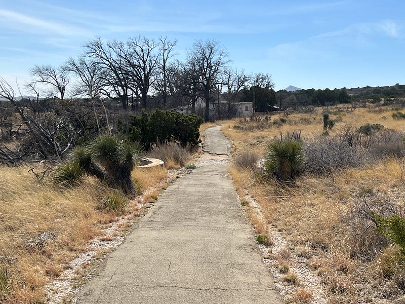
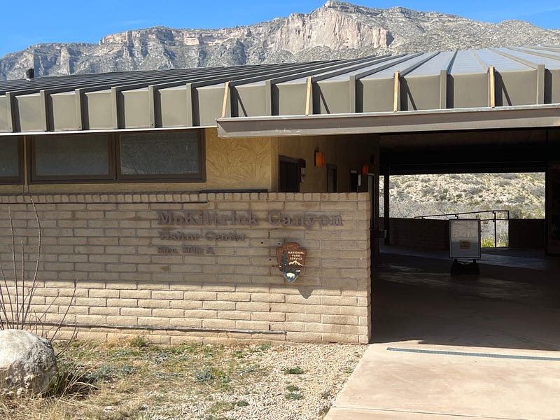
The next stop on the list, back to the highway and north a little ways is McKittrick Canyon Day Use Area. We were warned to make sure we were out of there before 5 pm. Sounds like the rangers will lock the gate and not check to see if all the vehicles are gone.
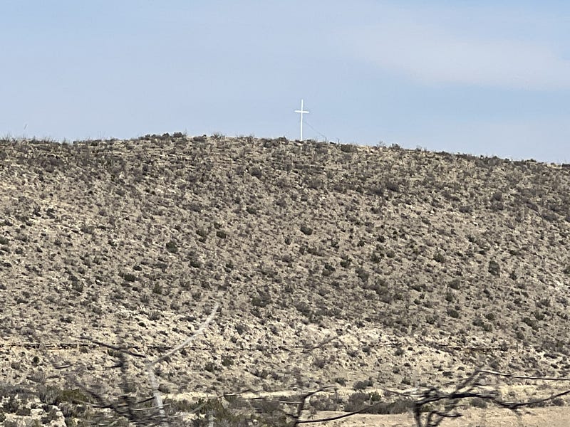
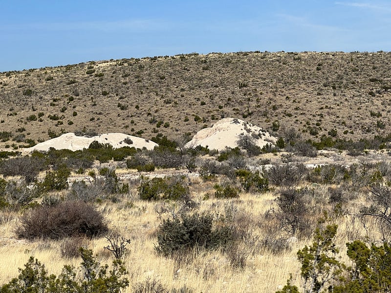
It was a beautiful drive back to the canyon. I found some white gypsum hills and a white cross on a hill.
The McKittrick Canyon Visitor Center is not manned on a regular basis. The day we were here it was all locked up. The trail up the mountain to a cabin is 4 miles round trip. We did not partake in this hike. It was 80 degrees and high altitude. There is nothing else to do at this stop if you are not hiking.
If you are driving only as we were, and not hiking, you can see the entire national park in a day. It is beautiful country and worth every second spent driving around. But we still have one more day to drive all the way around the mountains on the back roads. Stay tuned. It’s coming right up.
Back to New Mexico, and home in Carlsbad. Another great day of free sightseeing. Everything we do is basically free because we always pack a lunch and eat a picnic somewhere along the way. The only expense is gasoline for the car.
I hope you enjoyed learning about Guadalupe Mountains National Park. If so, please clap all the way up to 50 and let me know.