
Google Maps: A Simple Explanation On How It Detects Traffic Jams
Google Map is one of the most popular and widely used maps developed by Google.
It is a web mapping service that offers satellite imagery, street maps, 360-degree panoramic views of streets, real-time traffic conditions, business locations, and other related information to its users.
But how does it detect traffic jams or accidents on the road? For that question, I got an answer and I want to share it simply, so you can understand even if you are not a programmer.
Highway Authorities
Google has been using information from roads authorities to detect traffic jams and issue warnings to drivers. The sources said that London’s Metropolitan Police, which is responsible for managing traffic in the capital, along with Transport for London (TfL), will be providing real-time data about road conditions.
Google’s Waze app also provides details about traffic jams and accidents, but only if users report them. The new system will see Google use official data to flag up congestion on roads and provide users with alerts.
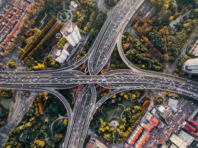
Your Device's Speed
Google’s maps app for mobile devices can now detect traffic jams, and it does so by checking the speed of your phone. It does this by monitoring the speed at which your phone sends data back and forth to Google, and when your phone sends that data slower than usual, Google knows that you’re in a traffic jam.
For example, if your phone is moving at 45 MPH, but the speed limit for your location is 55 MPH, Google Maps will assume that you are in traffic.
Historical Traffic Patterns
Google Maps uses a lot of different data to determine which routes are best for you. It uses live traffic information that it gathers from drivers, nearby cell towers and WiFi hotspots, road closures and delays reported by government agencies, and even historical traffic data.
To predict traffic, Google Maps may analyze the historical pattern of traffic for roads over time.
For example, in commercial areas, it is obvious that traffic is jammed due to the large number of people entering for shopping. Or the roads are busy in the mornings and evenings.


