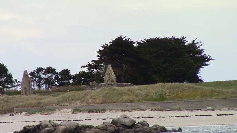
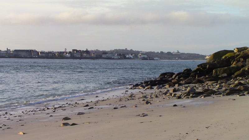
Travelling to the Beautiful Landscapes of Bretagne

Brittany, Bretagne in French and Breizh in Breton is a region in the west of France, about 500 km away from Paris. It covers an area of 3 million hectares and has a has a strong cultural background. Nowadays, Bretagne is a mythical region of France, and 13 million tourists come every year from the entire the world to see its magical landscapes.
Geology
Bretagne was shaped by two main geological events.
The cadomian orogenic event which was active 750–520 million years ago, and the hercynian — variscan orogenic event which took place 360–300 million years ago. The two mountainous domains were then slowly eroded until today. Between those two orogenic events, the continental crust extended and a sedimentary basin formed. This deposit was made of sedimentary rocks such as limestone, claystones and conglomerates.
The center of Bretagne has the oldest deposit dating from Brioverian (~570 Mya). It is made of cadomian eroded sediments which were transformed into schistes.
In the western region of Bretagne, around Brest, metamorphic rocks and carboniferous granites dating from the variscan period are surfacing. The south of Bretagne also has metamorphic and variscan granites showing up.
During the Cenozoïc (from 66 Mya until today) the erosion and alteration of granites, gneiss and schists produced sedimentary rocks such as sandstones or claystones. These sediments are now concentrated in the Rennes basin in the west, and in the Chateaulin basin in the east. The latter is currently a regional natural park bearing a great diversity of plants and birds.
In the Miocene (55 Mya) a warm and shallow sea called Faluns Sea spreads on the region and accumulated shells creating a carbonate-rich and easy to crumble sedimentary rock. Today, it is possible to find marine fossils such as shark teeth in this deposit.
Relief
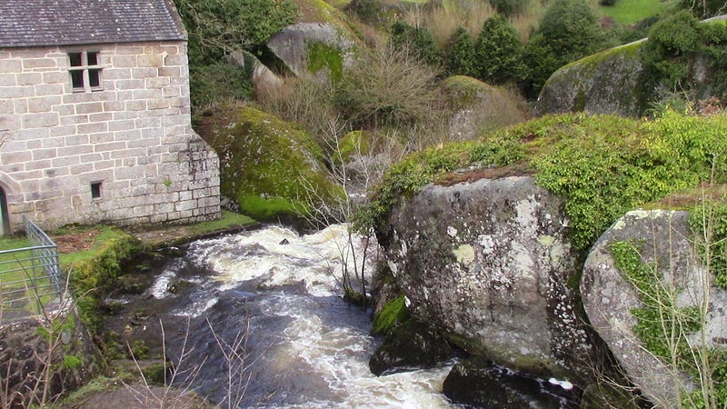
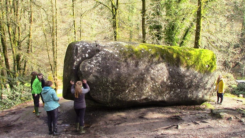
The cadomian and variscan geological event sculpted the relief of Bretagne. Back in time, very high mountains were standing in the region. Today, however, time and natural elements have eroded those peaks. Roc’h Ruz is the highest point in Bretagne and it is only 387 m above the sea level. It is part of a network of low mountains called Mont d’Arrée located in the center of Bretagne.
Most of Bretagne territory is made of low plains very fertile for agriculture.
Petrology
Granites are the dominating rock in Bretagne. Many are of plutonic origin and were formed during the variscan volcanic event 300 million years ago. The main minerals present in the granite are quartz, feldspar and mica.
Brioverian schists are also present and are about 490 million years old. These schists were formed at the end of the Cambrian. This period of high life activity in the ocean can be witness by the presence of bioturbation and traces of life on these schists.
In the sedimentary basins of Rennes and Chateaulin, carboniferous schists and sandstones are the common rocks.
Climate
Bretagne has an oceanic climate with high rainfall and cool temperature constant along the year. According to Climate-data France, the annual average temperature is 9.7ºC and the average rainfall is 883 mm a year. The warmest month is July with an average temperature of 18.6ºC and the coldest is January with 0.7ºC.
If you talk to a French about Bretagne, he will always emphasize the rainy weather. Brest, the city the most east of France, is very well known for its rainfall. That’s why its nickname is “the chamber pot of France”.
This oceanic climate has a west-east gradient due to continentality. Rennes, in the east, is less rainy and its temperature fluctuates more during the year than in Brest, which is in the west. The annual average rainfall in Brest is 1100 mm while in Rennes it is 711 mm.
The very cool temperature and the wet condition in Brest makes the city an ideal spot to cultivate tropical plants. Walking around, it is common to see palm trees or banana plants. They were imported by human for decorative purposes. The plant conservatory garden has many tropical plants in greenhouses and outside as well. You can visit it for free.
The south of Bretagne is slightly warmer than the north because of the influence of the Gulf Stream which is stronger there. The city of Montreal, located more or less at the same latitude, is way colder than Brest in the winter. This is due to the Gulf Stream which regulates the temperature in Bretagne by bringing warm water from the gulf of Mexico on the Breton coast.
Vegetation
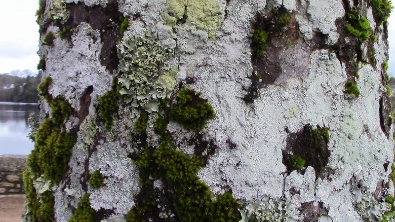
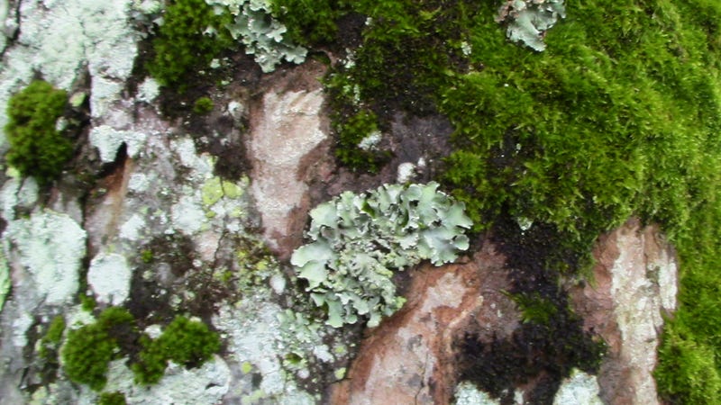
Most of the vegetation in Bretagne is composed of oceanic plants. In total 1827 species were registered including 1653 indigenous species and 683 non indigenous.
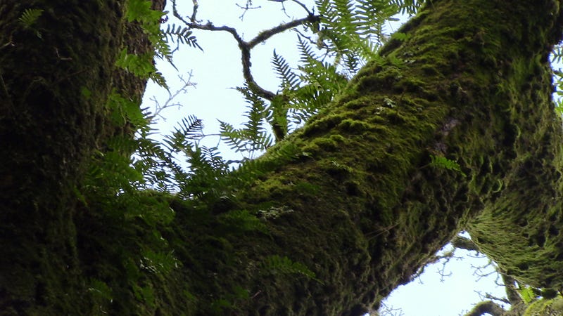
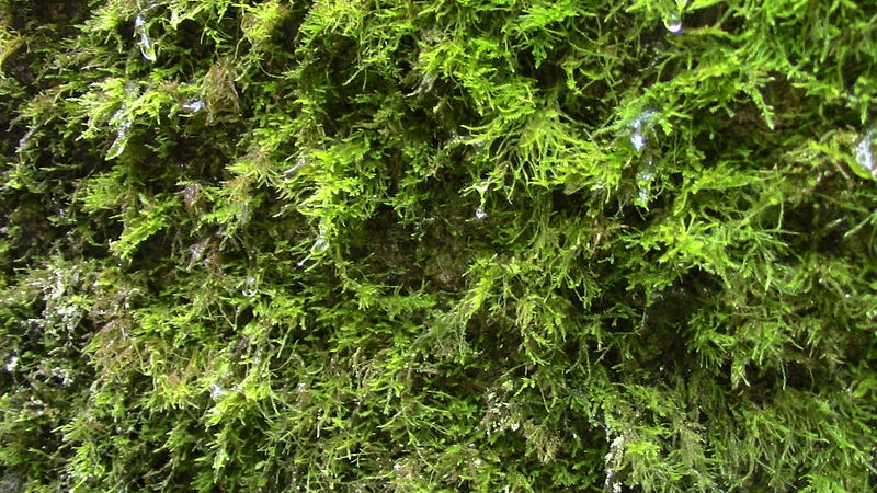
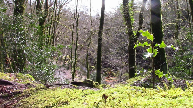
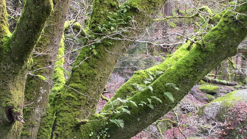
Forests cover 12% of the region. Natural forests are mainly inhabited by deciduous tree species such as Quercus robur, Carpinus betulus and Fagus sylvatica. In this forest, shrubs like Corylus avellana and Ilex aquifolium, and ground plants like Stellaria holostea and Hedera terrestris grow well under shade.
Pinus maritimus, Pinus sylvestris and Picea abies were introduced by human for a faster wood production. Under anthropogenic Pinus forest, acid soil indicators can grow, for example Dicranum scoparium, Molinia caerulea and Calluna vulgaris.
Salix, Betulus and Alnus species can be found around rivers in wet conditions.
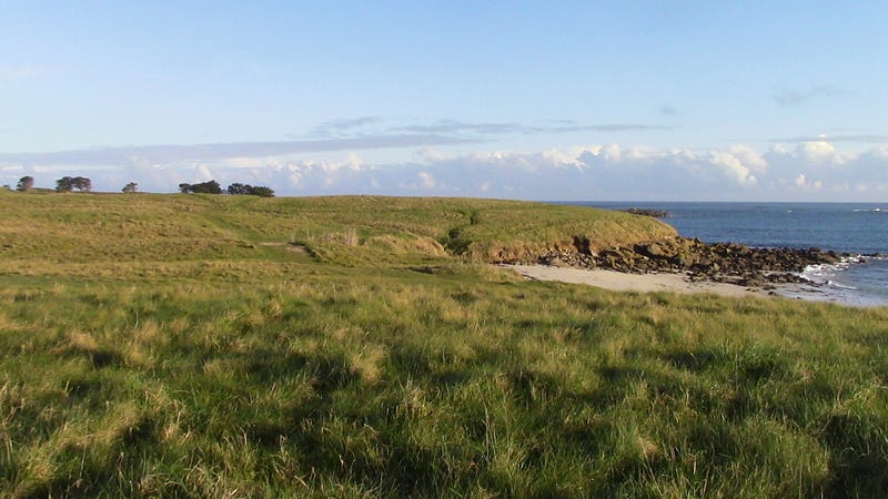
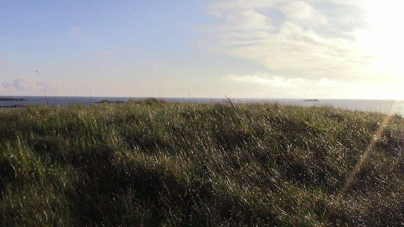
On the coast, dune ecosystems also have peculiar species. The most famous is probably Ammophila arenaria which has a dense root system maintaining the sand on the ground and protecting the dune from wind erosion.
In the center of Bretagne, in the Mont d’Arrée, there are moorlands made of acid and poor soils. On this ecosystem, the vegetation grow close to the ground because of the windy condition. Moreover the poverty of the soil don’t provide enough nutrients to develop higher structures. Erica and Calluna species are dominant and can be joined by Sphagnum species and bush plants like Cytisus scoparius. The carnivorous species Drosera rotundifolia feeds on insects to compensate the lack of nutrient available in the soil.
Landuse
In the past, forests were more abundant than today. During the 16, 17 and 18th centuries, trees were cut for heating, marine construction, charcoal production and agriculture.
In the 60s and 90s, the government decided to intensify the agricultural production in Bretagne. The “remembrement” policy consisted in merging fields together to obtain larger surfaces suitable for mechanization. Hedgerows were cut and fields were sprayed with fertilizers and pesticides. Rainfalls eroded the soil and transported nutrients into the sea where the eutrophication still creates algal blooming in spring.
Bretagne is the most productive French region in the agricultural sector, 60% of its surface is dedicated to agriculture. Moreover the livestock industry is really productive. Dairy and pork meat production are the most dynamic sectors.
Soils
In general soils in Bretagne are acids with a pH around 6.3. They often have a organic matter content between 2.5% and 10%.
The main soils are Podzols, Fluvisols, Gleysols and Cambisols. These soils are the result of the abundant rainfall and the dense hydrographic network of the region. They have to be drained and limed before any agricultural use. Due to the granite and volcanic rocks which are very common in the region, these soils have a high nutrient stock.
Podzols have two layers easy to identify: one red concentrating the iron and aluminium, the other dark brown concentrating the organic matter. These are very rich in organic matter and water. They are mainly located in the east of Bretagne, in cold and wet areas, on slope or at the top of hills orientated to the north. In Bretagne, they usually form on sandstone and quartzite and under acidifying vegetation such as dry moorland or pine forest.
Gleysols, Fluvisols (FR: sol tourbeux) are saturated in water (90%) and are rich in organic matter (10%). They are found where water stagnate for example the bottom of fluvial valleys, wet meadows, moorlands and peats.
Cambisols are naturally occuring in Quercus and Fagus forests where the pH is not extremely acid and where the water table is lower than in the previous soils. Organic matter is also rich in this soil, thus it is suitable for agricultural use in Breton plains.
The intensification of agriculture threatened the soil, however it’s hard to enforce any conservation policies since most soils are privately owned.
Reducing the use of fertilizer and pesticides should decrease the eutrophication phenomenon and thus spring algal blooming. A more extensive agriculture with wild herb strips and hedgerows should limit the soil erosion and provide habitat for insects and animals. Reducing the use of heavy machinery should also avoid soil compaction and rain run-off.
Conclusion
The Breton landscape has a long geological history. The history sculpted the landscape and still has impact on the daily lives of agricultors. The soil who developed from the granite and the rainy weather made the Bretagne one the most productive agricultural region of France. Rocky pink beaches, shaded fresh forest and desertic wet moorlands made Bretagne landscapes famous and attract million of tourists each year. So come visit it too!