
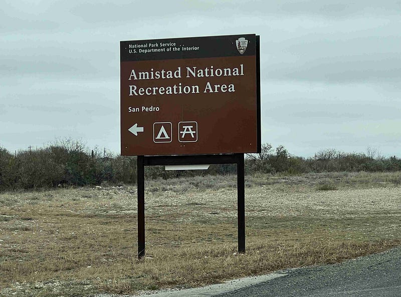
Amistad National Recreation Area in Del Rio, Texas
9 Main Areas to Visit and Explore
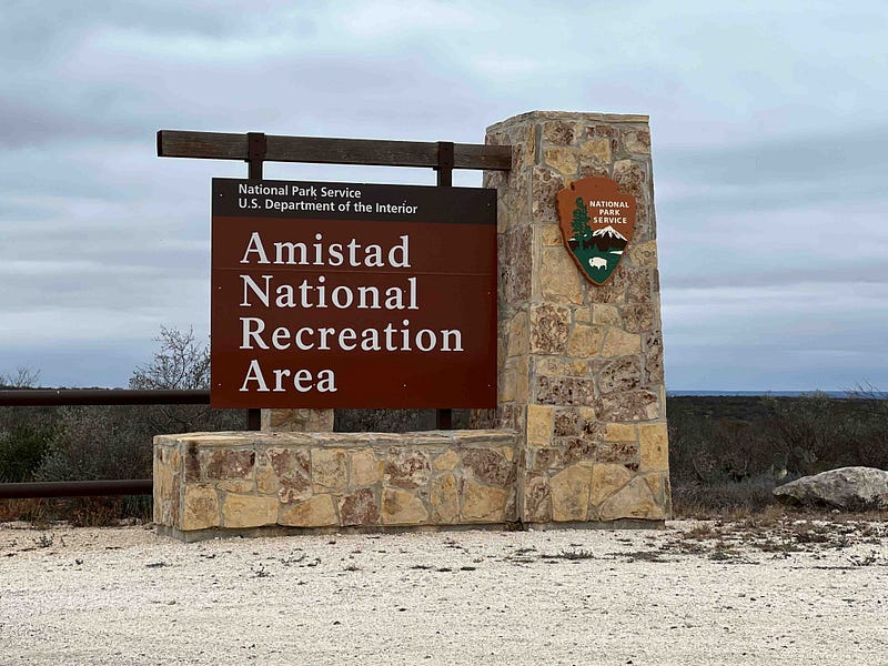
We left Loyola Beach, Texas and headed west to Amistad National Recreation Area on Highway 90 at Del Rio for two days before landing at Big Bend National Park for the month of February.
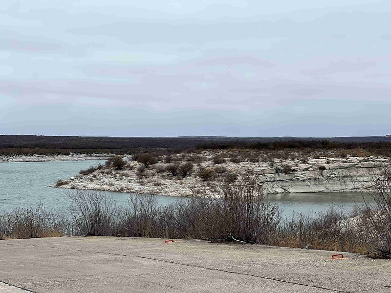
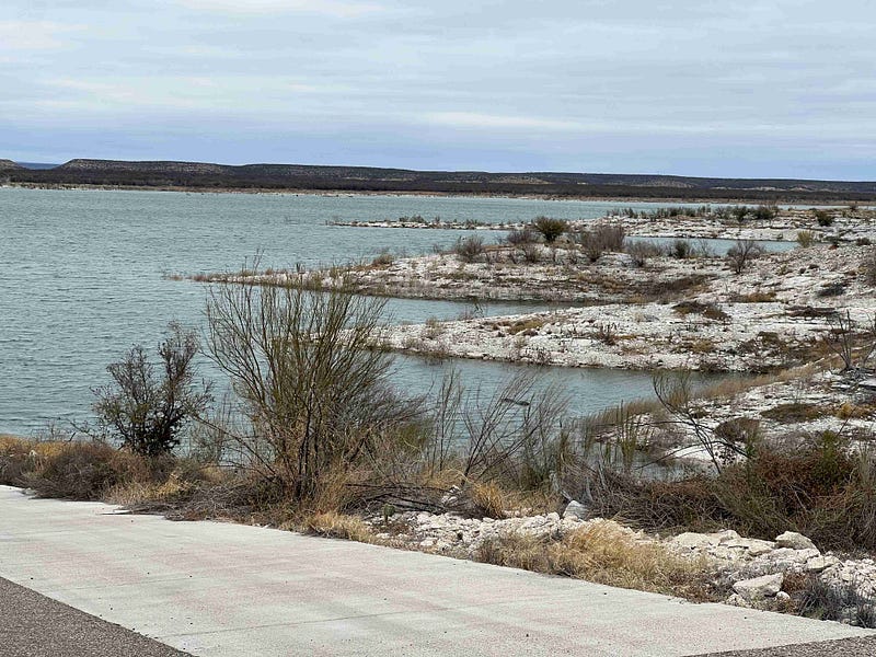
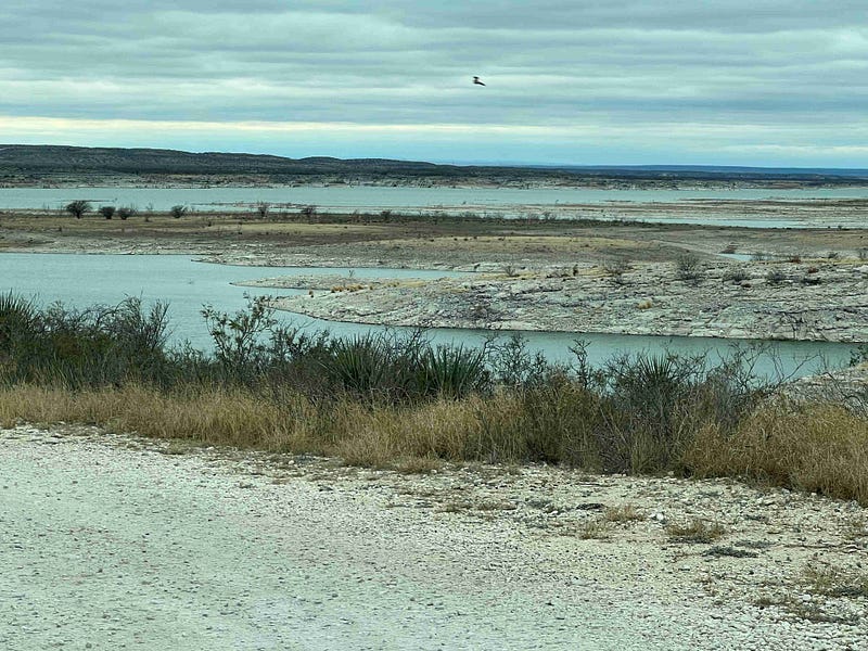
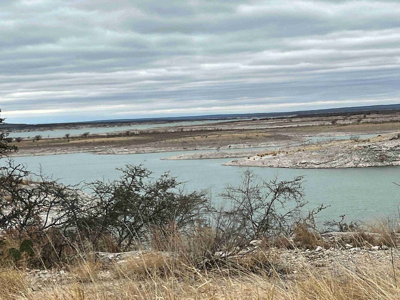
Amistad Reservoir is part of the Rio Grande River and is approximately 12 miles west of Del Rio, Texas. It is a man-made reservoir of water to help provide water and prevent flooding. In the summer I bet this area is beautiful, a true oasis in the middle of the desert. Unfortunately, we were here to visit in January and it was slow, uneventful, and brown.
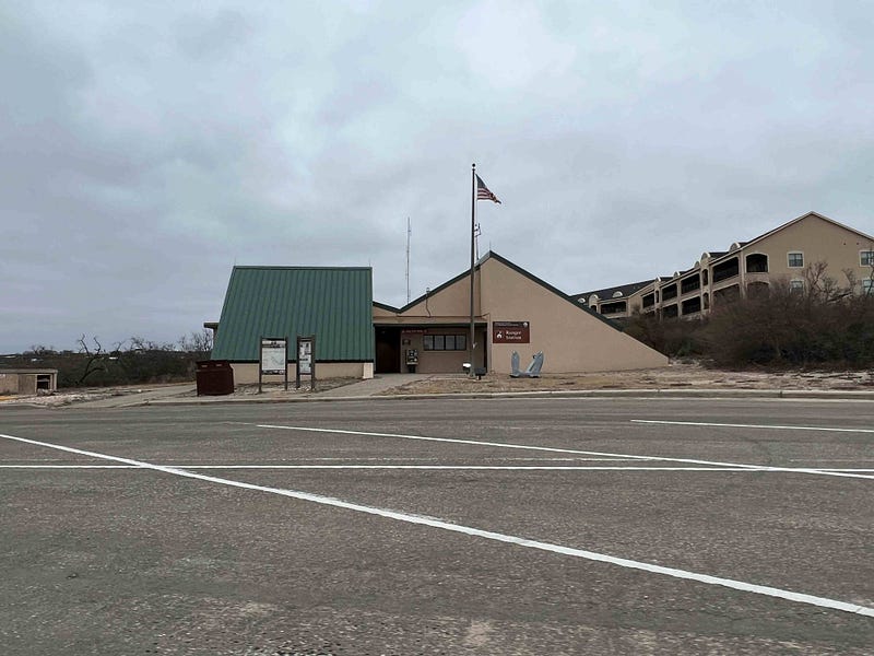
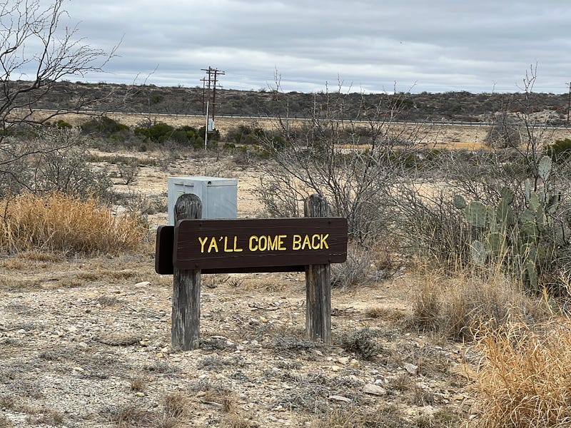
Our campground at Amistad was right across the road from the Visitor Center on Highway 90. The Visitor Center is place number one on the list of nine areas to visit.
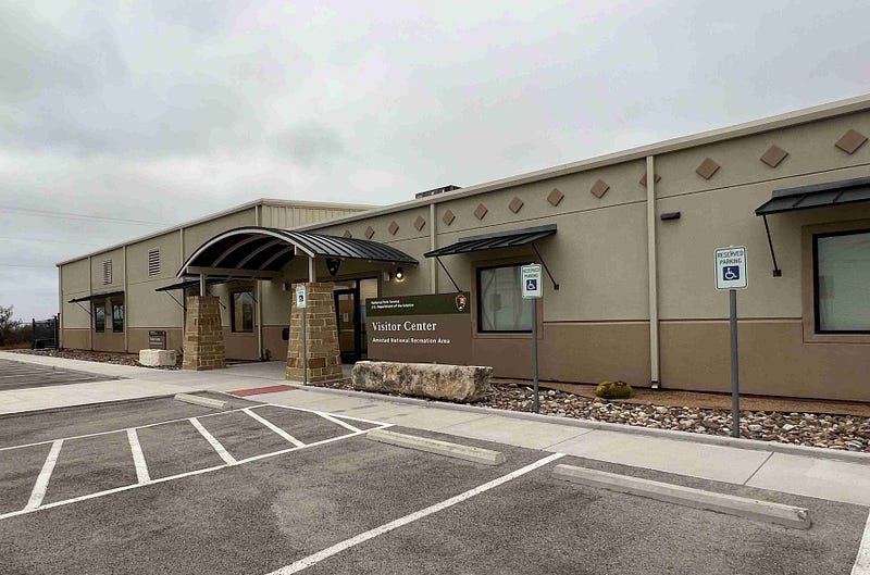
Visitor Center
We always find the visitor center first to talk to the workers, ask questions, get maps and advice, and usually buy stickers for my National Park Passport book. The ranger here was friendly and informative. He told us it was deer hunting season and if we weren’t wearing bright hunter orange there were a few areas we should probably avoid. Things like that are nice to know ahead of time.
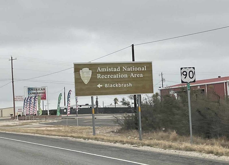
Blackbrush
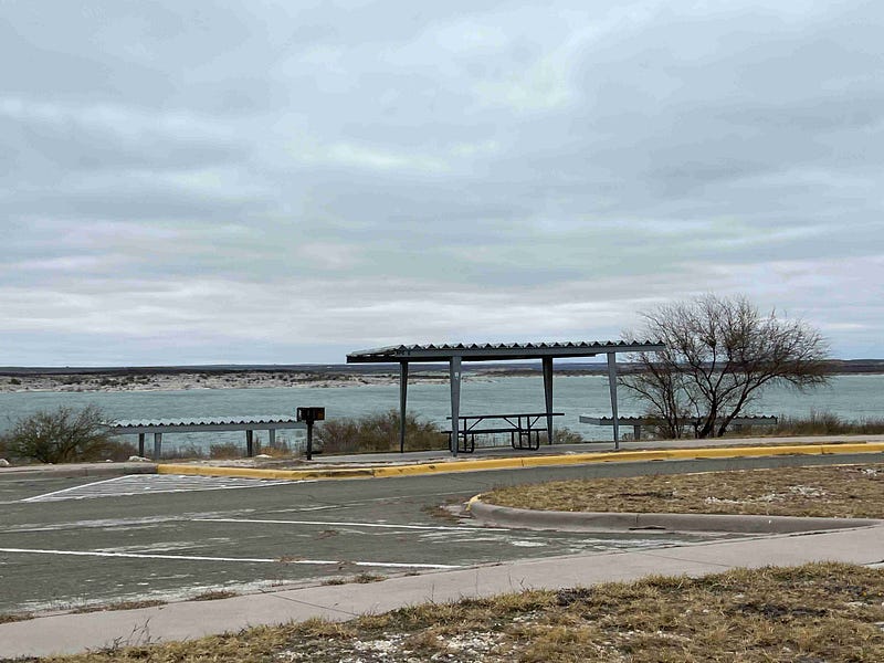
The first entrance east of the Visitor Center is the Blackbrush entrance. Black Brush Point Road is a short drive back to the boat ramp. Since we were visiting during January, winter season, boat ramps were all closed until Spring. Bank fishing is allowed all year and there is a nice picnic area at this point. The Western Diamondback Rattlesnake is commonly seen in this area but we were assured that they shouldn’t be a problem in January. Thank goodness they were right and we did not see any.
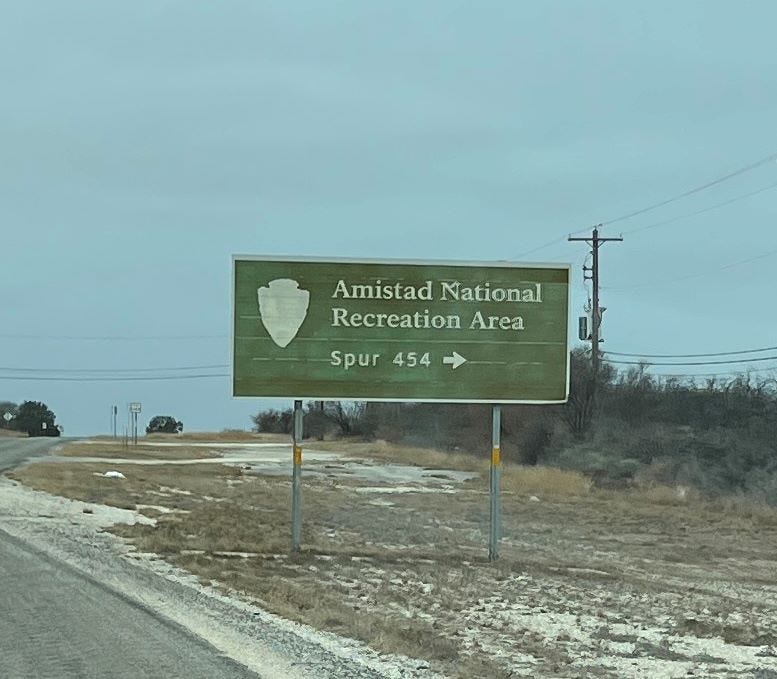
Spur 454
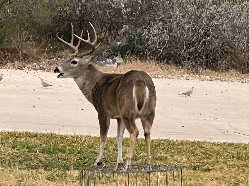
Coming back east toward Del Rio is the Spur 454 entrance to Amistad NRA. This was a nice drive back to the reservoir. We saw several large deer along this road. I think they were avoiding the hunters in a different area.
There is a nice hiking trail called the Sunrise Trail which begins at the Visitor Center and goes to old Spur Road 454. It is only 0.3 miles and very easy.
San Pedro
The next entrance to the east is the San Pedro entrance. This entrance actually branches off of Spur 454. This road travels back to a campground and picnic area also. We almost camped here but decided with the ice storm and freezing temperatures it would be nicer to have electric hookup.
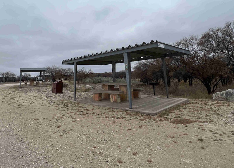
These campsites are dry. There is a dump station at a different camping area but not at this one.
277 South and North
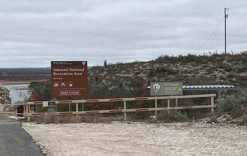
Driving east on Highway 90 and then north on 277 is the Old Highway 377 that took us to the 277 boat ramp and picnic area. The highway used to cross the reservoir here, but now it dead ends at the water. It does get confusing when you are not used to the area. There is a road 277 and a road 377 and they are one and the same for a while.
We came back to Highway 277 and crossed the bridge to the 277 North entrance and campground. Fishing from the shore only again as the ramp here was also closed.
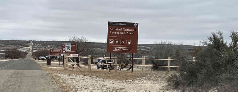
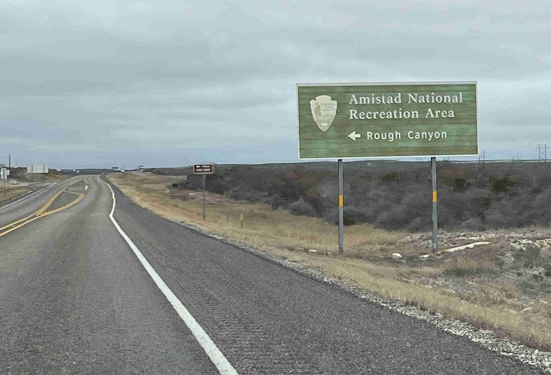
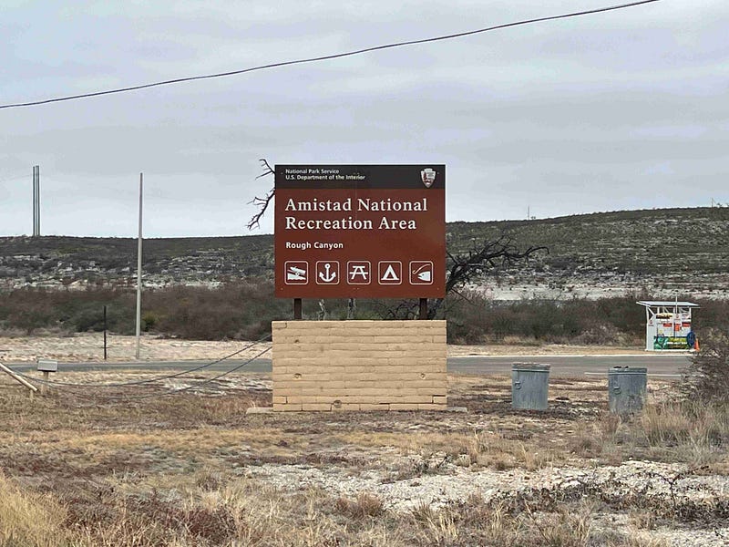
Rough Canyon Recreation Area
Just a little further north on this highway is the entrance to Rough Canyon on Texas Road 2. There is a Ranger Station located at this entrance.
After Rough Canyon we came back around to the Campground and ate lunch. Driving to all of the above areas and taking the time to see the reservoir at each spot was easily done in a couple of hours before lunch.
In January, it was pretty deserted. It was nice to be left alone to take pictures and explore without interruption.
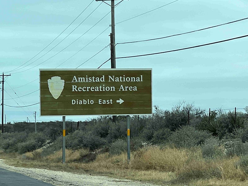
Diablo East
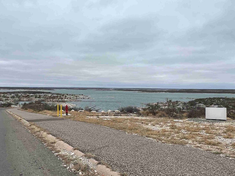
After lunch, we headed west of the Visitor Center to Diablo East. We saw Border Patrol changing shifts on the boat while we were here. This is a beautiful spot on the reservoir.
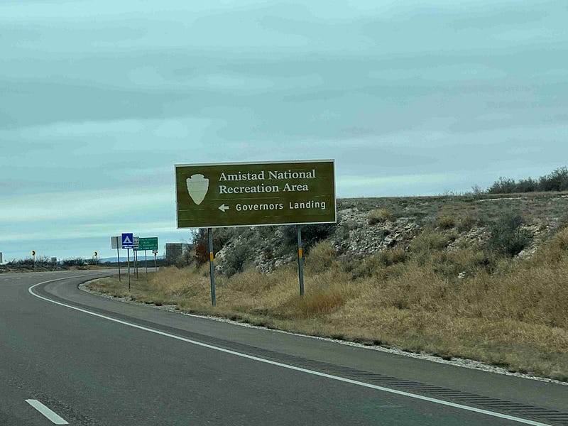
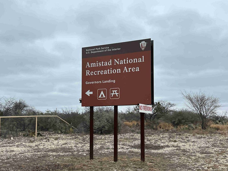
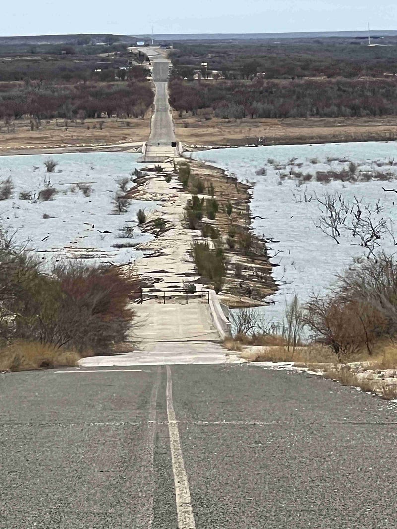
Governors Landing
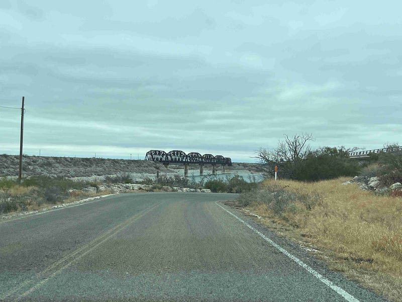
This entrance turns to the right just before the Border Patrol Checkpoint to enter Mexico. Seeing the old abandoned bridge is neat. There is a campground here for about 15 sites. We noticed potable water available at this campground and don’t think any of the other ones did. Camping anywhere in Amistad National Recreation Area is on a first come first serve basis. Pick your spot and then go pay. We saw fees from $4 to $6 per night.
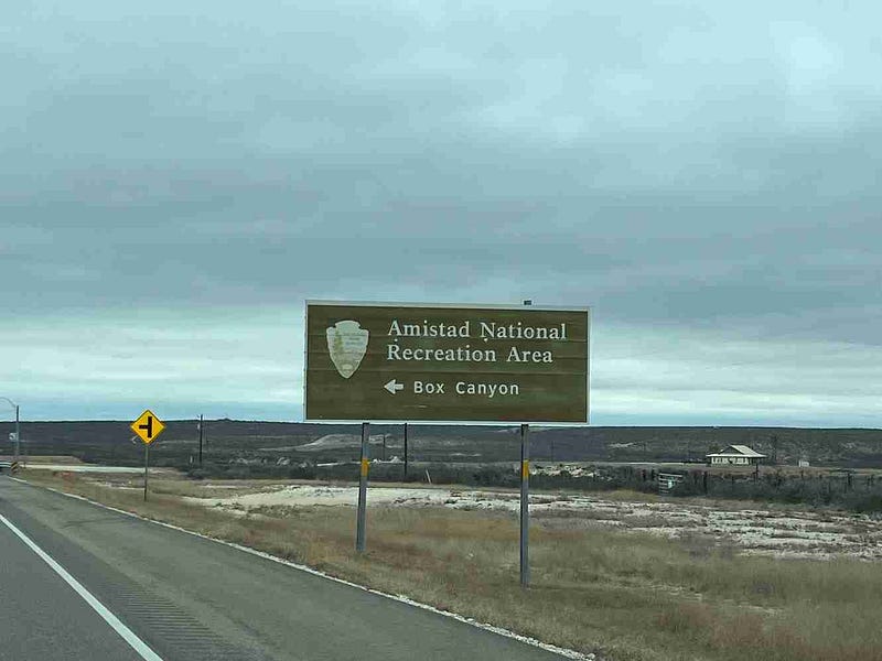
Box Canyon
Last, but not least, is Box Canyon. This was a beautiful area and I am glad we drove back here. There is actually some civilization here with a population of 76. From the viewpoint of a boat I bet the steep walled canyon is breathtaking.
We were able to see all these areas in one day mainly because of the time of year. There was little to no traffic and not as much to see. It was cold the day we were here. If visiting this area in warm weather, I wouldn’t recommend trying to see it all in one day as we did.
Happy traveling. Follow along to see all the places we see.
Check out my self-published children’s picture books for sale now on Amazon.


