mmons</a></figcaption></figure><p id="a29c">From Jacksonville, Seaboard the railroad ran to Tampa, St. Petersburg, West Palm Beach, and Miami.</p><figure id="cc61"><img src="https://cdn-images-1.readmedium.com/v2/resize:fit:800/1*6V-jAbYnDQgbzCS6Sh6bbA.png"><figcaption>Description English: The Tampa Riverwalk along the Hillsborough River in July 2021 taken from the Cass Street Bridge, Author Zeng8r, this file is licensed under the Creative Commons Attribution-Share Alike 4.0 International license. <a href="https://commons.wikimedia.org/wiki/File:Tampa_Riverwalk1.jpg">File: Tampa Riverwalk1.jpg — Wikimedia Commons</a></figcaption></figure><figure id="1af8"><img src="https://cdn-images-1.readmedium.com/v2/resize:fit:800/1*Ap3ytitSc1QOH4yGdMZwGg.png"><figcaption>Description English: St. Petersburg skyline from The Pier, Author Jim Dietrich aka EaglesFanInTampa, this file is licensed under the Creative Commons Attribution-Share Alike 3.0 Unported license. <a href="https://commons.wikimedia.org/wiki/File:St_Pete_Skyline_from_Pier.jpg">File: S t Pete Skyline from Pier.jpg — Wikimedia Commons</a></figcaption></figure><figure id="06bf"><img src="https://cdn-images-1.readmedium.com/v2/resize:fit:800/1*MVJy-x1AFOXPKWUhV_agWw.png"><figcaption>Description English: The skyline of West Palm Beach, Florida, U.S. Author Jud McCranie, this file is licensed under the Creative Commons Attribution-Share Alike 4.0 International license. <a href="https://commons.wikimedia.org/wiki/File:West_Palm_Beach,_Florida,_US,_skyline.jpg">File: West Palm Beach, Florida, US, skyline.jpg — Wikimedia Commons</a></figcaption></figure><figure id="7bbf"><img src="https://cdn-images-1.readmedium.com/v2/resize:fit:800/1*bE22fXSrPiq_P8qFloZYwg.png"><figcaption>Description English: Downtown Miami skyline from the Rusty Pelican photo D Ramey Logan, This file is licensed under the Creative Commons Attribution-Share Alike 4.0 International license. <a href="https://commons.wikimedia.org/wiki/File:Downtown_Miami_Panorama_from_the_Rusty_Pelican_photo_D_Ramey_Logan.jpg">File: Downtown Miami Panorama from the Rusty Pelican photo D Ramey Logan.jpg — Wikimedia Commons</a></figcaption></figure><p id="70cb">A line also ran from Jacksonville to Tallahassee. There was also a connection with the Louisville and Nashville Railroad at Chattahoochee, Florida, for through service to New Orleans.</p><p id="dc2a">A railroad line ran to Atlanta, Georgia, and Birmingham, Alabama. There was a connection with the main line at Hamlet, North Carolina. A line ran from the main line at Norlina, North Carolina, to Portsmouth, Virginia, the earliest route of what became the Seaboard.</p><figure id="6267"><img src="https://cdn-images-1.readmedium.com/v2/resize:fit:800/1*Od-f0nm7j9cQwYpCzbUQqw.png"><figcaption>Description English: Tallahassee Skyline, Author Urbantallahassee, this file is licensed under the Creative Commons Attribution-Share Alike 3.0 Unported license. <a href="https://commons.wikimedia.org/wiki/File:TallahasseeCityscape.png">File: TallahasseeCityscape.png — Wikimedia Commons</a></figcaption></figure><figure id="61f6"><img src="https://cdn-images-1.readmedium.com/v2/resize:fit:800/1*eyPuHzK89yG3eC9W5fknNA.png"><figcaption>Description English: Chattahoochee City Hall, 22 Jefferson St., Chattahoochee, Gadsden County, Florida, Author Michael Rivera, this file is licensed under the Creative Commons Attribution-Share Alike 4.0 International license. <a href="https://commons.wikimedia.org/wiki/File:Chattahoochee_City_Hall.jpg">File: Chattahoochee City Hall.jpg — Wikimedia Commons</a></figcaption></figure><figure id="3caf"><img src="https://cdn-images-1.readmedium.com/v2/resize:fit:800/1*rIqLdjBLLeu7H6dT9WwjIg.png"><figcaption>Description English: The USS New Orleans (LPD-18) passes by downtown New Orleans on the Mississippi River, Author United States Navy, this file is a work of a sailor or employee of the U.S. Navy, taken or made as part of that person’s official duties. As a work of the U.S. federal government, it is in the public domain in the United States. <a href="https://commons.wikimedia.org/wiki/File:LPD18USSNewOrleansPassingNewOrleans.jpg">File:LPD18USSNewOrleansPassingNewOrleans.jpg — Wikimedia Commons</a></figcaption></figure><figure id="5751"><img src="https://cdn-images-1.readmedium.com/v2/resize:fit:800/1*li2DDBU8vdE0OWAUDyV5RA.png"><figcaption>File: Atlanta Downtown July 2010.JPG, Author Arashboz, this file is made available under the Creative Commons CC0 1.0 Universal Public Domain Dedication. <a href="https://commons.wikimedia.org/wiki/File:Atlanta_Downtown_July_2010.JPG">File: Atlanta Downtown July 2010.JPG — Wikimedia Commons</a></figcaption></figure><figure id="807a"><img src="https://cdn-images-1.readmedium.com/v2/resize:fit:800/1*bkMoIwYwYKp1Xo3T8Y3KZQ.png"><figcaption>Description English: Birmingham skyline at night from atop the City Federal Building. July 1, 2015. Author Amcannally, this file is licensed under the Creative Commons Attribution-Share Alike 4.0 International license. <a href="https://commons.wikimedia.org/wiki/File:Birmingham_Skyline.jpeg">File: Birmingham Skyline.jpeg — Wikimedia Commons</a></figcaption></figure><figure id="ecd9"><img src="https://cdn-images-1.readmedium.com/v2/resize:fit:800/1*smnvVNjHXROHclNrrVcSWw.png"><figcaption>Description English: Collage of photos from Hamlet, North Carolina. Clockwise from the top left: Bank of Hamlet, Main Street, Mural of John Coltrane, Hamlet Depot. Photos all taken on July 11, 2020, Author Indy beetle, this file is made available under the Creative Commons CC0 1.0 Universal Public Domain Dedication. <a href="https://commons.wikimedia.org/wiki/File:Hamlet_collage.png">F file: Hamlet collage.png — Wikimedia Commons</a></figcaption></figure><figure id="e804"><img src="https://cdn-images-1.readmedium.com/v2/resize:fit:800/1*ZNc6WVSIPlEljZtlXjsJFw.png"><figcaption>Description English: Strip of buildings along Hyco Street in downtown Norlina, North Carolina, Author Indy beetle, This file is made available under the Creative Commons CC0 1.0 Universal Public Domain Dedication, <a href="https://commons.wikimedia.org/wiki/File:Buildings_in_downtown_Norlina.jpg">File: Buildings
Options
in downtown Norlina.jpg — Wikimedia Commons</a></figcaption></figure><figure id="3a85"><img src="https://cdn-images-1.readmedium.com/v2/resize:fit:800/1*iSKfg6znzORrKZHhqerQSg.png"><figcaption>Description English: Portsmouth, Va. (Aug. 20, 2003) — Tugboats guide USS Harry S. Truman (CVN 75) up the Elizabeth River, past Portsmouth landmarks, to the Norfolk Naval Shipyard to begin a Planned Incremental Availability (PIA). U. S. Navy photo by Photographer’s Mate 2nd Class John L. Beeman. (RELEASED), Author U.S. Navy photo, This file is a work of a sailor or employee of the U.S. Navy, taken or made as part of that person’s official duties. As a work of the U.S. federal government, it is in the public domain in the United States. <a href="https://commons.wikimedia.org/wiki/File:US_Navy_030820-N-9851B-011_Tug_boats_guide_USS_Harry_S._Truman_(CVN_75)_up_the_Elizabeth_River,_past_Portsmouth_landmarks.jpg">File: US Navy 030820-N-9851B-011 Tug boats guide USS Harry S. Truman (CVN 75) up the Elizabeth River, past Portsmouth landmarks.jpg — Wikimedia Commons</a></figcaption></figure><p id="6208">The Southeastern United States benefitted in economic development from Seaboard and its main competitors in the 1900s. Trains brought vacationers to Florida from the Northeast and carried southern timber, minerals, and produce, including Florida citrus crops, to the northern states.</p><h2 id="87f2">History</h2><h2 id="960e">19th century</h2><p id="0af0">The Portsmouth and Roanoke Railroad (P&R) was chartered by the legislatures of Virginia and North Carolina. The railroad was built from Portsmouth, Virginia, to the Roanoke River port of Weldon, North Carolina.</p><p id="cf20">In the beginning, the railroad ran without locomotives. After a couple of months of horse-drawn operation, the first locomotive worked on this line on September 4, 1834, with a twice-each-day train from Portsmouth to Suffolk, Virginia, 17 miles away.</p><figure id="2a01"><img src="https://cdn-images-1.readmedium.com/v2/resize:fit:800/1*4hoF7NzSGHmftWkTlgwUjw.png"><figcaption>Description: This is a map of the Roanoke River watershed. I. Pfly, made it, based on USGS data. Author Pfly, This file is licensed under the Creative Commons Attribution-Share Alike 2.5 Generic license. <a href="https://commons.wikimedia.org/wiki/File:RoanokeRiverWatershed.png">File: RoanokeRiverWatershed.png — Wikimedia Commons</a></figcaption></figure><figure id="a5ce"><img src="https://cdn-images-1.readmedium.com/v2/resize:fit:800/1*wXE0Tgi4iu2xSqlDqdRC8Q.png"><figcaption>Description English: A view of North Main Street in downtown Suffolk, Virginia, Author User: Kubigula, this file is licensed under the Creative Commons Attribution-Share Alike 3.0 Unported license. <a href="https://commons.wikimedia.org/wiki/File:Downtown_Suffolk,_VA.jpg">File: Downtown Suffolk, VA.jpg — Wikimedia Commons</a></figcaption></figure><figure id="0362"><img src="https://cdn-images-1.readmedium.com/v2/resize:fit:800/1*U3gm_Ed-CoSKU8jh0Y48KQ.png"><figcaption>Description English: Weldon, Author Indy beetle, this file is made available under the Creative Commons CC0 1.0 Universal Public Domain Dedication, <a href="https://commons.wikimedia.org/wiki/File:Weldon,_North_Carolina_02.jpg">File: Weldon, North Carolina 02.jpg — Wikimedia Commons</a></figcaption></figure><p id="e9dc">The railroad was extended in 1837 to Weldon, where a connection was made with the tracks of the Wilmington and Raleigh Railroad (later part of the Atlantic Coast Line Railroad). The P&R suffered financial issues in 1846 and was reorganized as the Seaboard and Roanoke Railroad, known as the Seaboard Road.</p><p id="b4bf">The Raleigh and Gaston Railroad (R&G) began construction on November 1, 1836, with the first scheduled service between its endpoints beginning on March 21, 1840. After the Civil War, this railroad was advertised as the Inland Air Line Route. This railroad connected with the Seaboard and Roanoke at Weldon in 1853.</p><p id="e5b7">Travelers were offered service on the 176-mile route from Portsmouth to Raleigh. Both railroads were built to 4-foot 8+1⁄2 inch standard gauge, rather than the 5-foot gauge favored by most other railroads in the South. Railroad cars on both roads could run on the entire route. This meant that travelers and freight did not need to change cars.</p><p id="a1e8">P&R took control of the Raleigh & Augusta Air-Line Railroad which R&G had controlled before. This was the first time “Air Line” appeared as part of a Seaboard predecessor.</p><p id="5098">The R&AA-L began as the Chatham Railroad. It was chartered by the state in 1855. This line was to run from Deep River (a tributary of the Cape Fear River) at or near the Coalfields, at Moncure, NC.</p><p id="bd26">This is the end of Article 1. Please stay with me as we have a lot more to learn about the SAL railroad. Please take the time to read articles 2 through 6 so that you have the whole picture. Many thanks in advance.</p><p id="a55a">If you liked this article, please clap for it, mark yourself as a follower of mine, and join me on my journey in writing as I contribute to various publications on medium.com.</p><p id="b4b0">The more time people spend reading my articles, the more it encourages me to continue writing. Many thanks for taking the time to read what I have written. Get access to unlimited articles here on Medium!</p><p id="9aa1">Your small membership fee supports Terry Day and other writers you read. You’ll also get full access to every story on Medium. What a bargain!</p><p id="91c6">Where else can you read articles written by artistic and creative authors on so many different topics for 5 a month?</p><p id="c4a4">If you are not yet a medium member, please consider membership (5 is a steal), and please mark yourself as one of my followers. My account on Medium is @tday597706. Many thanks in advance for your support!</p><p id="a0a1">Please join my email list, this allows you to be notified as soon as I post something new. My success in writing is dependent on readers like you who appreciate and support my writing. Thanks so much for taking the time to read and support me.</p></article></body>
In the World of Locomotive Companies — SAL Made Fortune
Fascinating Focus and Fearless Leadership Made Railroad Successful Article 1 of 6
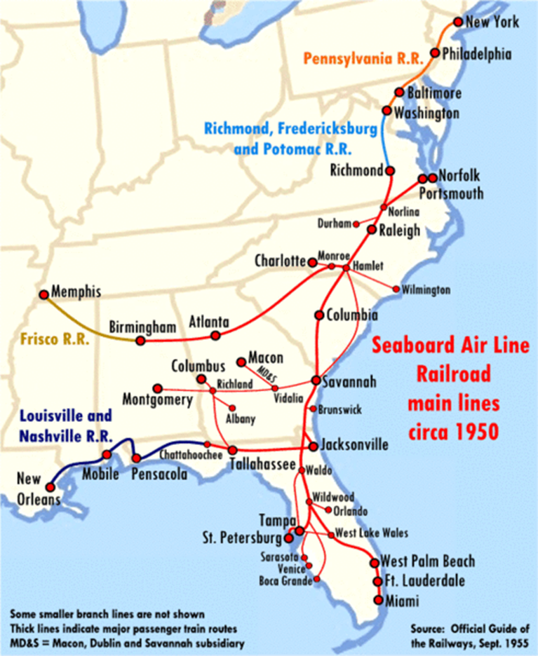
Description A schematic map of Seaboard Air Line Railroad main lines, circa 1950, with major passenger routes indicated by thick lines. Author Textorus, this file is licensed under the Creative Commons Attribution-Share Alike 3.0 Unported license. File: Seaboard Air Line RR main lines 1950.gif — Wikimedia Commons
Dear Reader,
I’m excited to share information with you concerning a railroad that operated in Florida. It was called the Seaboard Air Line Railroad. Yes, I know whenever I see the word “sea” it does not call to mind a locomotive, but rather a water vessel.
More on that later. This railroad had a history that went back to 1900 and they were in business in one form or another for 67 years. This railroad came about after the Civil War when other railroads were reorganized.
The railroad did not start as a huge conglomeration but through some serious management and growth, it ended up being a force to be reckoned with. The railroad first started with horses providing hauling operations. This did not last long though; they soon had locomotives and were hauling passengers and freight from point to point.
Many locations were served by this railroad, and I have tried hard to include those so that you understand what this railroad did. Fair warning, this is not a single short article but rather a series of articles. I elected to provide the series instead of giving it all to you at one time.
The story is very interesting, and I have tried hard to make it worthy of your time. I present this information as a series of 6 articles so that you can digest a short bit at a time.
I thank you in advance for reading this information. I strongly believe you will learn something new about the railroad, business, and our great country. So, let’s get started. All Aboard!
Introduction
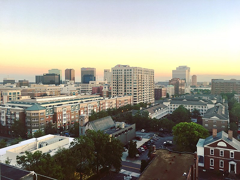
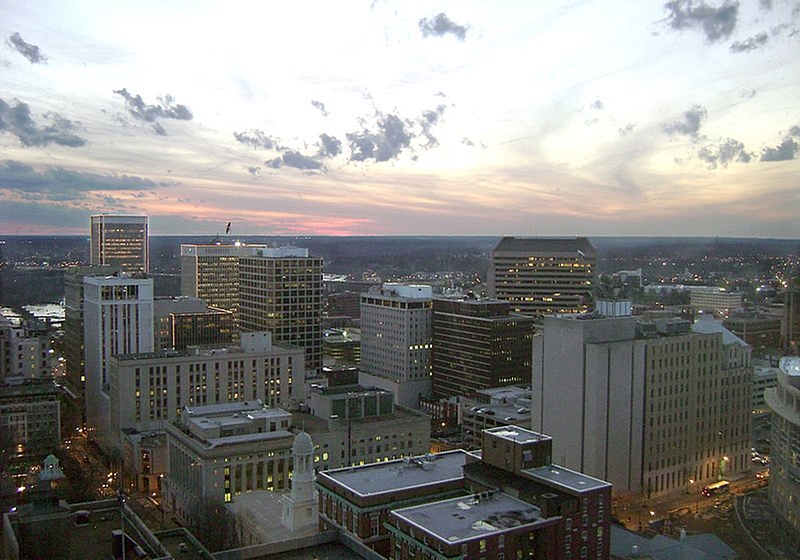
The route of the Courteous Service was the moniker that the Seaboard Air Line Railroad styled itself after. This railroad existed from 1900 to 1967. After the Civil War predecessor railroads were reorganized. The company was headquartered in Norfolk, Virginia, until 1958. The main offices were relocated to Richmond, Virginia.
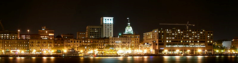
SAL operated 3,929 miles of railroad in 1925. That number did not include subsidiaries. The number of miles grew till it had 4,135 miles by the end of 1960. The mainline ran from Richmond via Raleigh, North Carolina, Columbia, South Carolina, and Savannah, Georgia to Jacksonville, Florida. Jacksonville was a major interchange point for passenger trains.
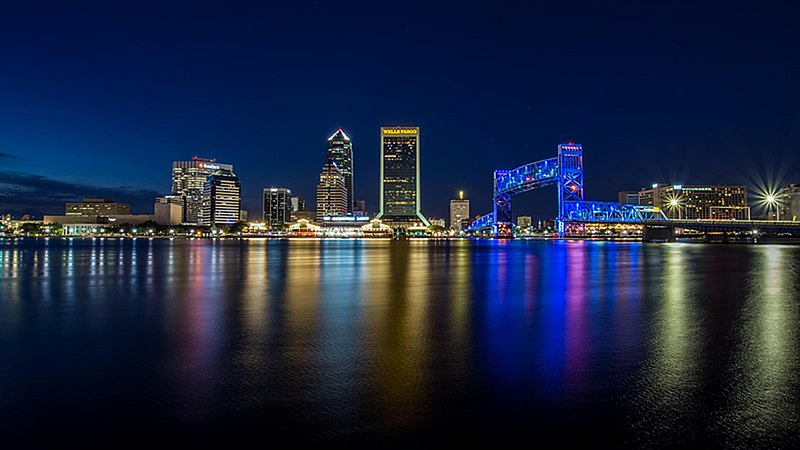
Description English: Looking downtown towards the Raleigh skyline with crepe myrtle trees in bloom. Author Dennis Ludlow (Sharkshock), This file is licensed under the Creative Commons Attribution-Share Alike 4.0 International license. File: Raleigh skyline along S Saunders st.jpg — Wikimedia CommonsDescription English: skyline of downtown Columbia, SC, USA from Arsenal Hill neighborhood, Author Akhenaton06, This file is licensed under the Creative Commons Attribution-Share Alike 3.0 Unported license. File: Fall skyline of Columbia SC from Arsenal Hill.jpg — Wikimedia CommonsEnglish Savannah Skyline at Night, Description English: If you use this image, please credit to, www.kingsporthumor.com (Kingsport Humor), Author Tim Johnson, File: Savannah ga night.jpg — Wikimedia CommonsDescription Long Exposure photograph of the downtown Jacksonville Florida night skyline as seen from the riverwalk. Author Gregory Urbano from St. Petersburg, Florida, USA, this file is licensed under the Creative Commons Attribution 2.0 Generic license. File: Jacksonville at Night (39527326802).jpg — Wikimedia Commons
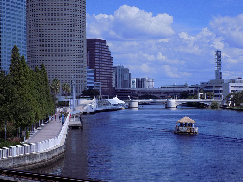
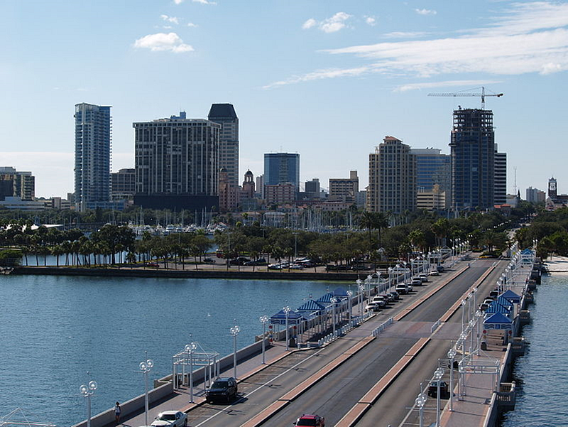
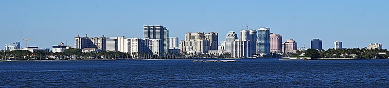
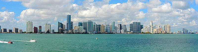
From Jacksonville, Seaboard the railroad ran to Tampa, St. Petersburg, West Palm Beach, and Miami.
Description English: The Tampa Riverwalk along the Hillsborough River in July 2021 taken from the Cass Street Bridge, Author Zeng8r, this file is licensed under the Creative Commons Attribution-Share Alike 4.0 International license. File: Tampa Riverwalk1.jpg — Wikimedia CommonsDescription English: St. Petersburg skyline from The Pier, Author Jim Dietrich aka EaglesFanInTampa, this file is licensed under the Creative Commons Attribution-Share Alike 3.0 Unported license. File: S t Pete Skyline from Pier.jpg — Wikimedia CommonsDescription English: The skyline of West Palm Beach, Florida, U.S. Author Jud McCranie, this file is licensed under the Creative Commons Attribution-Share Alike 4.0 International license. File: West Palm Beach, Florida, US, skyline.jpg — Wikimedia CommonsDescription English: Downtown Miami skyline from the Rusty Pelican photo D Ramey Logan, This file is licensed under the Creative Commons Attribution-Share Alike 4.0 International license. File: Downtown Miami Panorama from the Rusty Pelican photo D Ramey Logan.jpg — Wikimedia Commons
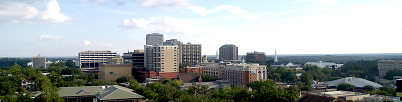
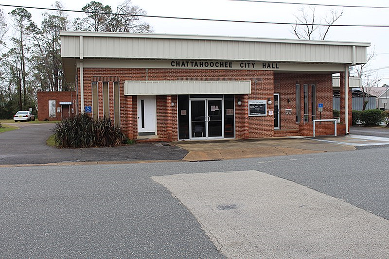
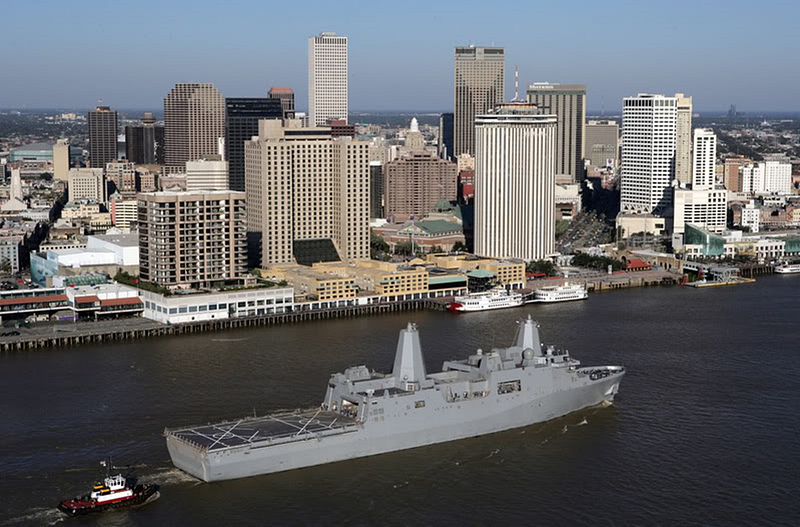
A line also ran from Jacksonville to Tallahassee. There was also a connection with the Louisville and Nashville Railroad at Chattahoochee, Florida, for through service to New Orleans.
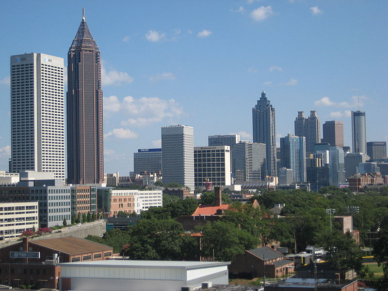
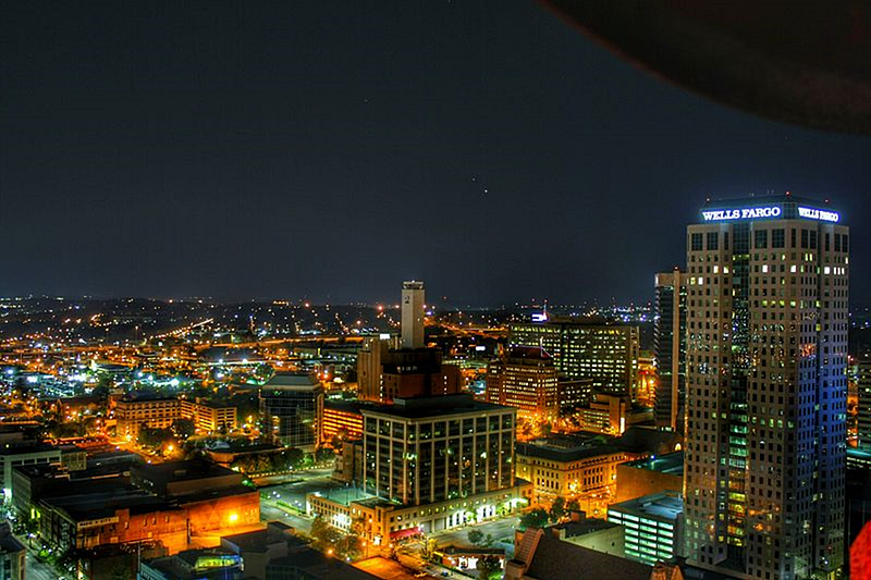
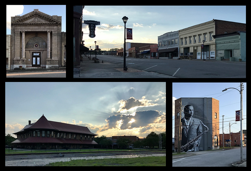
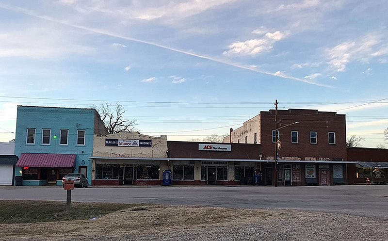
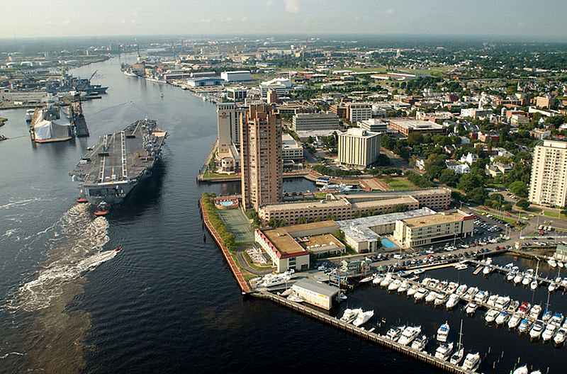
A railroad line ran to Atlanta, Georgia, and Birmingham, Alabama. There was a connection with the main line at Hamlet, North Carolina. A line ran from the main line at Norlina, North Carolina, to Portsmouth, Virginia, the earliest route of what became the Seaboard.
Description English: Tallahassee Skyline, Author Urbantallahassee, this file is licensed under the Creative Commons Attribution-Share Alike 3.0 Unported license. File: TallahasseeCityscape.png — Wikimedia CommonsDescription English: Chattahoochee City Hall, 22 Jefferson St., Chattahoochee, Gadsden County, Florida, Author Michael Rivera, this file is licensed under the Creative Commons Attribution-Share Alike 4.0 International license. File: Chattahoochee City Hall.jpg — Wikimedia CommonsDescription English: The USS New Orleans (LPD-18) passes by downtown New Orleans on the Mississippi River, Author United States Navy, this file is a work of a sailor or employee of the U.S. Navy, taken or made as part of that person’s official duties. As a work of the U.S. federal government, it is in the public domain in the United States. File:LPD18USSNewOrleansPassingNewOrleans.jpg — Wikimedia CommonsFile: Atlanta Downtown July 2010.JPG, Author Arashboz, this file is made available under the Creative Commons CC0 1.0 Universal Public Domain Dedication. File: Atlanta Downtown July 2010.JPG — Wikimedia CommonsDescription English: Birmingham skyline at night from atop the City Federal Building. July 1, 2015. Author Amcannally, this file is licensed under the Creative Commons Attribution-Share Alike 4.0 International license. File: Birmingham Skyline.jpeg — Wikimedia CommonsDescription English: Collage of photos from Hamlet, North Carolina. Clockwise from the top left: Bank of Hamlet, Main Street, Mural of John Coltrane, Hamlet Depot. Photos all taken on July 11, 2020, Author Indy beetle, this file is made available under the Creative Commons CC0 1.0 Universal Public Domain Dedication. F file: Hamlet collage.png — Wikimedia CommonsDescription English: Strip of buildings along Hyco Street in downtown Norlina, North Carolina, Author Indy beetle, This file is made available under the Creative Commons CC0 1.0 Universal Public Domain Dedication, File: Buildings in downtown Norlina.jpg — Wikimedia CommonsDescription English: Portsmouth, Va. (Aug. 20, 2003) — Tugboats guide USS Harry S. Truman (CVN 75) up the Elizabeth River, past Portsmouth landmarks, to the Norfolk Naval Shipyard to begin a Planned Incremental Availability (PIA). U. S. Navy photo by Photographer’s Mate 2nd Class John L. Beeman. (RELEASED), Author U.S. Navy photo, This file is a work of a sailor or employee of the U.S. Navy, taken or made as part of that person’s official duties. As a work of the U.S. federal government, it is in the public domain in the United States. File: US Navy 030820-N-9851B-011 Tug boats guide USS Harry S. Truman (CVN 75) up the Elizabeth River, past Portsmouth landmarks.jpg — Wikimedia Commons
The Southeastern United States benefitted in economic development from Seaboard and its main competitors in the 1900s. Trains brought vacationers to Florida from the Northeast and carried southern timber, minerals, and produce, including Florida citrus crops, to the northern states.
History
19th century
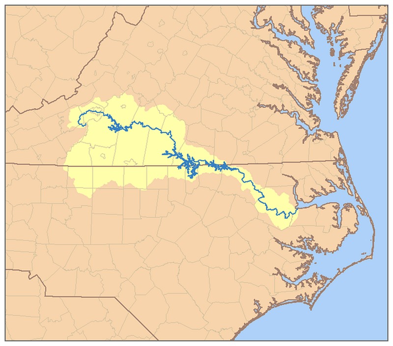
The Portsmouth and Roanoke Railroad (P&R) was chartered by the legislatures of Virginia and North Carolina. The railroad was built from Portsmouth, Virginia, to the Roanoke River port of Weldon, North Carolina.
In the beginning, the railroad ran without locomotives. After a couple of months of horse-drawn operation, the first locomotive worked on this line on September 4, 1834, with a twice-each-day train from Portsmouth to Suffolk, Virginia, 17 miles away.
Description: This is a map of the Roanoke River watershed. I. Pfly, made it, based on USGS data. Author Pfly, This file is licensed under the Creative Commons Attribution-Share Alike 2.5 Generic license. File: RoanokeRiverWatershed.png — Wikimedia CommonsDescription English: A view of North Main Street in downtown Suffolk, Virginia, Author User: Kubigula, this file is licensed under the Creative Commons Attribution-Share Alike 3.0 Unported license. File: Downtown Suffolk, VA.jpg — Wikimedia CommonsDescription English: Weldon, Author Indy beetle, this file is made available under the Creative Commons CC0 1.0 Universal Public Domain Dedication, File: Weldon, North Carolina 02.jpg — Wikimedia Commons
The railroad was extended in 1837 to Weldon, where a connection was made with the tracks of the Wilmington and Raleigh Railroad (later part of the Atlantic Coast Line Railroad). The P&R suffered financial issues in 1846 and was reorganized as the Seaboard and Roanoke Railroad, known as the Seaboard Road.
The Raleigh and Gaston Railroad (R&G) began construction on November 1, 1836, with the first scheduled service between its endpoints beginning on March 21, 1840. After the Civil War, this railroad was advertised as the Inland Air Line Route. This railroad connected with the Seaboard and Roanoke at Weldon in 1853.
Travelers were offered service on the 176-mile route from Portsmouth to Raleigh. Both railroads were built to 4-foot 8+1⁄2 inch standard gauge, rather than the 5-foot gauge favored by most other railroads in the South. Railroad cars on both roads could run on the entire route. This meant that travelers and freight did not need to change cars.
P&R took control of the Raleigh & Augusta Air-Line Railroad which R&G had controlled before. This was the first time “Air Line” appeared as part of a Seaboard predecessor.
The R&AA-L began as the Chatham Railroad. It was chartered by the state in 1855. This line was to run from Deep River (a tributary of the Cape Fear River) at or near the Coalfields, at Moncure, NC.
This is the end of Article 1. Please stay with me as we have a lot more to learn about the SAL railroad. Please take the time to read articles 2 through 6 so that you have the whole picture. Many thanks in advance.
If you liked this article, please clap for it, mark yourself as a follower of mine, and join me on my journey in writing as I contribute to various publications on medium.com.
The more time people spend reading my articles, the more it encourages me to continue writing. Many thanks for taking the time to read what I have written. Get access to unlimited articles here on Medium!
Your small membership fee supports Terry Day and other writers you read. You’ll also get full access to every story on Medium. What a bargain!
Where else can you read articles written by artistic and creative authors on so many different topics for $5 a month?
If you are not yet a medium member, please consider membership ($5 is a steal), and please mark yourself as one of my followers. My account on Medium is @tday597706. Many thanks in advance for your support!
Please join my email list, this allows you to be notified as soon as I post something new. My success in writing is dependent on readers like you who appreciate and support my writing. Thanks so much for taking the time to read and support me.


.jpg)
_up_the_Elizabeth_River,_past_Portsmouth_landmarks.jpg)